2013.6.32.06
·
Dossiê
·
1989-2013
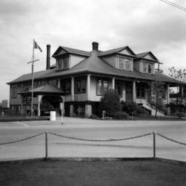
Parte de David Davies Railway Collection
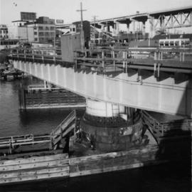
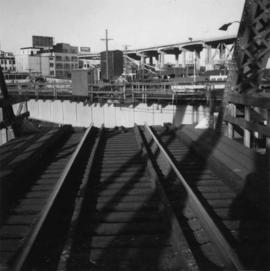
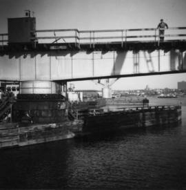
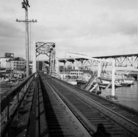
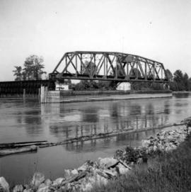
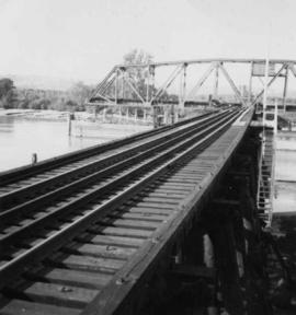
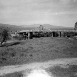
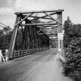
File consists of material regarding the preservation and exhibition of Canadian Pacific Railway locomotive 374. Predominantly consists of photocopy reproductions, pamphlets, and clippings from periodicals.