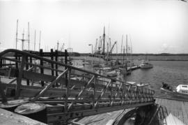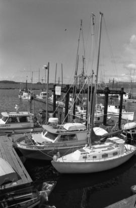
2009.6.13.49.0732
·
Item
·
[ca. 1978]
Parte de The Honourable Iona Campagnolo fonds
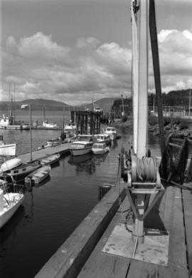
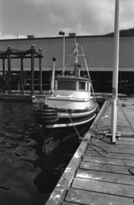
Photograph depicts the "Little Current" and other boats at the Prince Rupert marina.