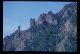
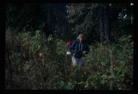
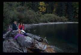
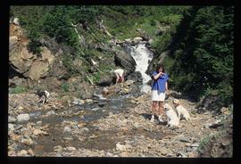
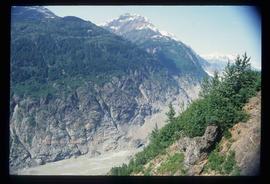
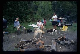
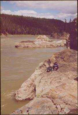
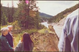
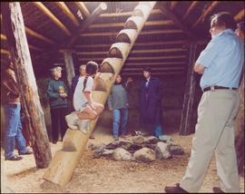
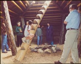
Image depicts the Gitwinksihlkw Elementary School in Gitwinksihlkw, B.C.
Image depicts a rock formation on a mountain side at an uncertain location.
Mountains visible behind unknown town in background.
Item is one of nine photographs accompanying a greeting card from Agnes Hauglak, Addie Milewski’s sister, reading: “I though you might want these photos. I had to go and send every one their family things. Thank you for being kind to my sister Addie, Agnes M Hauglak”; see also items 2009.6.1.569 - 2009.6.1.577.
Photograph believed to have been taken at the Museum of Anthropology in Vancouver, B.C. Unidentified individuals can be seen walking in front of forest in background.
Item is one of nine photographs accompanying a greeting card from Agnes Hauglak, Addie Milewski’s sister, reading: “I though you might want these photos. I had to go and send every one their family things. Thank you for being kind to my sister Addie, Agnes M Hauglak”; see also items 2009.6.1.569 - 2009.6.1.577.
Image depicts a view of Fraser Lake.
Image depicts a dog on a road, and a view of the mountains in Bear Glacier Provincial Park.
Image depicts a house with a vehicle in a garage and the number 40 on it; location is uncertain.
Image depicts a woman named "Gail" on a trail to Portage Lake.
Image depicts Divide Lake.
Image depicts two women sitting on a fallen tree on the shore of a lake, possibly Portage Lake; the woman in blue is "Gail," and the woman in red is Sue Sedgwick.
Image depicts Bear Glacier in the foreground and numerous mountain peaks in the background in Bear Glacier Provincial Park.
Image depicts two individuals and three dogs standing by a stream at an uncertain location, possibly somewhere in Bear Glacier Provincial Park. The woman in purple is possibly Sue Sedgwick.
Image depicts Sue and Kent Sedgwick with two dogs, standing with the Bear Glacier in the background.
Image depicts Sue Sedgwick with a dog, standing with the Bear Glacier in the background.
Image depicts numerous mountains surrounding the Bear Glacier.
Image depicts Sue Sedgwick seated in a lawn chair near a campfire and several other unidentified individuals, as well as three dogs. The location is uncertain.
This map is part of Schedule B of the 1993 Official Community Plan, Bylaw No. 5909 for the City of Prince George. This particular map depicts the east area of the City of Prince George, including the Prince George Airport (YXS) and the Blackburn area.
This map is part of Schedule B of the 1993 Official Community Plan, Bylaw No. 5909 for the City of Prince George. This particular map depicts the northeast area of the City of Prince George, including the industrial areas on Prince George Pulpmill Road and Northwood Pulpmill Road along the Fraser River.
This map is part of Schedule B of the 1993 Official Community Plan, Bylaw No. 5909 for the City of Prince George. This particular map depicts the central area of the City of Prince George, including the Bowl area, the VLA, the Crescents, South Fort George, Heritage, and Peden Hill.
This map is part of Schedule B of the 1993 Official Community Plan, Bylaw No. 5909 for the City of Prince George. This particular map depicts the northwest area of the City of Prince George, including the North Nechako neighbourhood and the Hart.
This map is part of Schedule B of the 1993 Official Community Plan, Bylaw No. 5909 for the City of Prince George. This particular map depicts the southwest area of the City of Prince George, including College Heights, UNBC, University Heights, and Vanway.
Handwritten notation affixed to verso reads: "Iona w/ Lee Morrison (late) director of First Nations Centre at that time. Soda Creek / net fishing for elders".
Photograph was taken during the chancellor's tour of Xats'ull Heritage Village, Soda Creek First Nation, Williams Lake, B.C.
Image depicts Haldi Lake near Prince George, B.C.
Image depicts Eskers Park, near Prince George, B.C.
Unidentified women stands in centre background with arm raised, and a young girl sits on post in foreground. Photograph was taken during the chancellor's tour of Xats'ull Heritage Village, Soda Creek First Nation, Williams Lake, B.C.
Handwritten annotation on verso reads: "UNBC 1992".
Unidentified women stands in centre background with arm raised, and a young girl sits on post in foreground. Photograph was taken during the chancellor's tour of Xats'ull Heritage Village, Soda Creek First Nation, Williams Lake, B.C.
Image depicts the Cheslatta River.
Image depicts a few unknown individuals walking through the forest at Cheslatta.
Image depicts the Cheslatta River.
Image depicts the Cheslatta Falls.
Image depicts a view of the Okanagan Kettle Valley.
Image depicts a view of Kettle Valley, with a bridge of the old Kettle Valley Rail Road visible on a slope.
Image depicts a woman walking along a trail somewhere in Kettle Valley, B.C.
Image depicts a woman walking along the trail of the Kettle Valley Rail Road.
Image depicts the trail of the old Kettle Valley Rail Road.
Image depicts a man and woman standing in the mouth of a tunnel from the old Kettle Valley Rail Road.
Image depicts the mouth of a tunnel from the Kettle Valley Rail Road.
Image depicts a man standing on the old Kettle Valley Rail Road.
Image depicts a van on a narrow road, likely the Kettle Valley Trail.
Image depicts a hill in kettle Valley B.C.
Image depicts the Kenney Dam near Cheslatta, B.C.
Image depicts the Cheslatta River.
Image depicts the Cheslatta Falls.
Image depicts what appears to be a tour group at Cheslatta.
Image depicts the Cheslatta Falls.
Image depicts a man fishing in the Kettle River.
Image depicts a small, ruined shed somewhere in the Okanagan Kettle Valley.
Image depicts a view of the Okanagan Kettle Valley.
Image depicts an unknown figure standing inside a tunnel from the old Kettle Valley Rail Road.