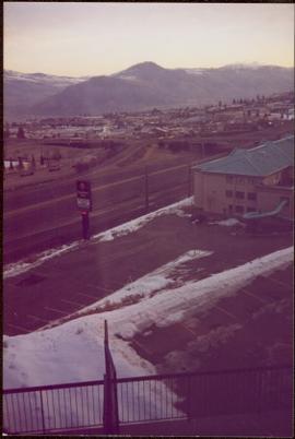
The item is a 35 mm photograph depicting a stucco duplex on the Cariboo Highway.
File consists of photographs depicting Fort St. James.
The item is a front exterior photograph of an aged white and aqua coloured house at 1562 Gorse Street, Prince George. The house was the former home of Henry Wilson.
The item is a front exterior photograph of an aged white and aqua coloured house at 1562 Gorse Street, Prince George. The house was the former home of Henry Wilson.
The item is a photograph depicting construction of the Cameron Street bridge in 1916. The photograph is a reproduction of a photograph taken in 1916. The picture depicts a boat with wooden construction materials on the Nechako River. A workshop and a log building are depicted on the side of the river. Annotation on reverse side of the photograph states, "138%"
The item is a photograph depicting the Cameron Street bridge. The photograph is a reproduction of a photograph taken between 1917 to 1931. The picture depicts an ice jam with snow and ice along the Nechako River reaching the height of the base of the bridge. Annotations on the reverse side of the photograph state, "138% P986.9.9 Ex Pl. = 1922
The item is a photograph depicting the Cameron Street bridge. The photograph is a reproduction of a photograph taken between 1916 to 1931. The picture depicts the completed wooden Cameron Street bridge over the Nechako River. Annotations on the reverse side of the photograph state, "1st bridge between 1916 - 1934 983.7.13." Attached yellow sticky note states, "Note pilings in swing span. Ted Williams says the span was replaced with extension in 1922. So this photo is post - 1922."
The item is a photograph depicting the Cameron Street bridge. The photograph is a reproduction of a photograph taken between 1917 to 1931. The picture depicts an ice jam with snow and ice along the Nechako River reaching the height of the base of the bridge. Annotation on the reverse side of the photograph states, "10 x 6.1"
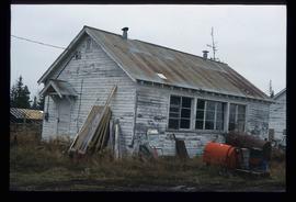
The item is a photograph depicting a workshop in the rural Prince George area.
The item is a photograph depicting an NT Air airport hanger located in Prince George.
The item is a photograph depicting the back of a four-level stucco house in South Fort George. Various appliances are being kept by the house. The house is likely located in the Hazelton Street area, Prince George.
The item is a photograph depicting the front and side of the house located at 2542 Hazelton Street, Prince George. The stucco house has three levels and multiple units.
The item is a front exterior photograph of an aged white and aqua coloured house at 1562 Gorse Street, Prince George. The house was the former home of Henry Wilson.
The item is a photograph depicting construction of the Cameron Street bridge. The photograph is a reproduction of a photograph taken in 1916. Two buildings are depicted on the side of the river surrounded by lumber. There is a large tent in the area. Annotations on reverse side of photograph state, "10 x 5.4"
The item is an annotated photograph depicting the Prince George airport terminal. The photograph labels the RCMP, airport terminal and small arms buildings. Photograph taken prior to fire.
The item is a photograph depicting a residential duplex house off the Cariboo Highway.
The item is a 35 mm slide photograph depicting a residential duplex house off the Cariboo Highway. It is one of three buildings that were relocated for the airport in 1957.
The item is a 35 mm photograph depicting a workshop in the rural Prince George area.
The item is a 35 mm photograph depicting a stucco duplex on the Cariboo Highway.
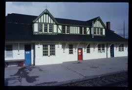
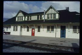
Image depicts the CN Station in McBride, B.C.
Image depicts the CN Station in McBride, B.C.
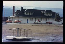
Image depicts the rear-end of the CN Station in McBride, B.C.
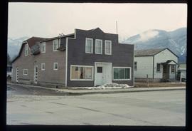
Image depicts an abandoned building on the corner of a street in McBride, B.C.
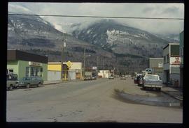
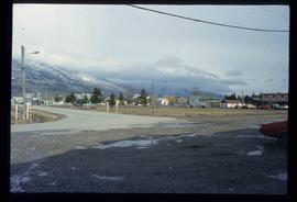
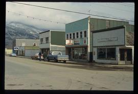
Image depicts a street in McBride, B.C.
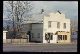
Image depicts an old house somewhere in McBride, B.C.
Image depicts a machine shop somewhere in McBride, B.C. The sign above the door reads "McBride Air Cooled Engine Services Ltd."
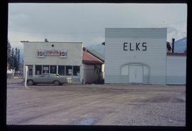
Image depicts the Elks Hall in McBride, B.C.
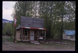
Image depicts the post office in Penny, B.C.
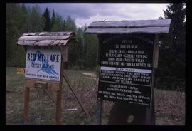
Image depicts two signs for hiking trails in Penny, B.C. One reads: "Hiking trail to Red Mt. Lake (Grizzly Bear Mt.) expect to meet wild animals."
The item is a photograph that depicts three veteran houses on Burden Street. Houses include beige siding, beige stucco and a white siding house.
The item is a photograph that depicts the back of veteran housing at 510 Douglas Street. House is on the south east corner. Beige stucco house with brown roof.
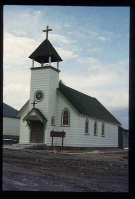
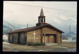
Image depicts a church somewhere in McBride, B.C. The sign in front possibly reads "St. Patrick's Church."
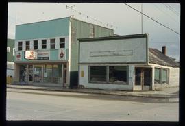
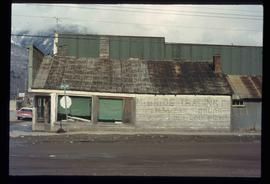
Image depicts an abandoned building on the corner of a street in McBride, B.C. The faded letters on the side read: "McBride Trading Co. Mens Wear, Drugs, Equipment."
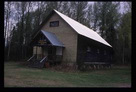
Image depicts the community hall in Penny, B.C.
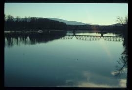
Image depicts the new Hansard Bridge. Map coordinates 54°04'57.9"N 121°51'10.1"W
Image depicts the new Hansard Bridge. Map coordinates 54°04'57.9"N 121°51'10.1"W
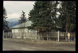
Image depicts a house somewhere in McBride, B.C.
Image depicts McBride, B.C.
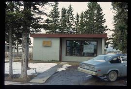
Image depicts the McBride District Centennial Library.
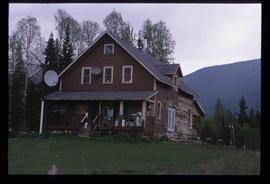
Image depicts a house with torn-up siding. The slide is labelled: "Mellos house relocated from Penny." The location is uncertain.
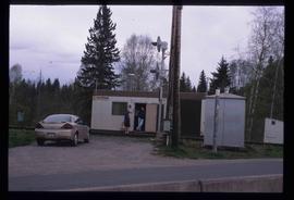
Image depicts two unidentified individuals speaking to each other in the doorway of what appears to be a mobile home. The location is uncertain.
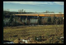
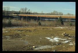
Image depicts the Hansard railroad bridge taken from the new Hansard vehicle bridge. Map coordinates 54°04'58.1"N 121°50'58.0"W
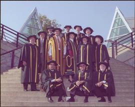
Photograph taken in front of the 'icebergs' at the University of Northern British Columbia in Prince George, B.C. Campagnolo stands in middle row, third from right.
Card accompanying photograph reads: “UNBC’s 10th Anniversary, 08/17/04, With the compliments of Charles J. Jago, President and Vice-Chancellor”.
The item is a photograph that depicts the front of veteran housing at 510 Douglas Street. House is on the south east corner. Beige stucco house with brown roof.
The item is a photograph that depicts the side of veteran housing at 510 Douglas Street. House is on the south east corner. Beige stucco house with brown roof.
The item is a photograph that depicts three veteran houses on Burden Street. Houses include beige siding, beige stucco and a white siding house.
Image depicts a street in McBride, B.C. One of the store signs reads "Allied Hardware."
Image depicts the All Saints Anglican Church in McBride, B.C. The slide labels it as having "moved to PG."
Image depicts a building in Red Rock.
