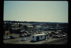
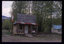
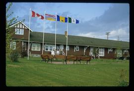
Image depicts the Giscome, B.C. town site with the Giscome railway station and the Giscome store in the center surrounded by vehicles. Map coordinates 54°04'18.5"N 122°21'57.7"W
File contains slides depicting places along the east line of the BC Railway.
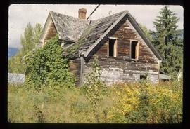
Image depicts an old, abandoned cabin with ivy growing up the side. The location is uncertain.
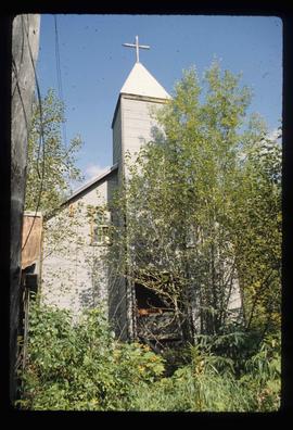
Image depicts the Catholic Church in Penny, B.C.
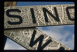
Image depicts a railway crossing sign with peeling and cracked paint somewhere in or near Penny, B.C.
Image depicts the post office in Penny, B.C.
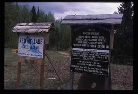
Image depicts two signs for hiking trails in Penny, B.C. One reads: "Hiking trail to Red Mt. Lake (Grizzly Bear Mt.) expect to meet wild animals."
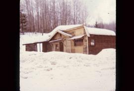
Image depicts an old building that was possibly once a gas station in the community of Newlands, B.C.
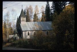
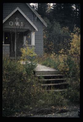
Image depicts the Oblates of Mary Immaculate Catholic Church in Aleza Lake, B.C. Map coordinates 54°07'08.2"N 122°02'00.0"W
Image depicts the Oblates of Mary Immaculate Catholic Church in Aleza Lake, B.C. Map coordinates 54°07'08.2"N 122°02'00.0"W
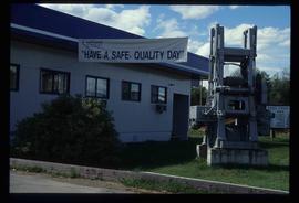
Image depicts the office at the Northwood Upper Fraser Saw Mill and a sign which reads "Have a safe, quality day." Map coordinates 54.117916, -121.943351
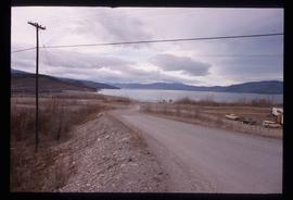
File contains slides depicting places along the Peace River.
Image depicts what appears to be a Fire Hall in Hudson's Hope, B.C.
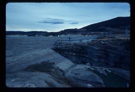
Image depicts a dam, possibly on the Peace River.
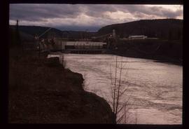
Image depicts a dam and a reservoir of water, possibly on the Peace River.
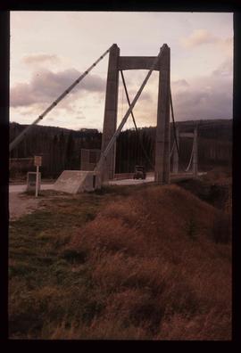
Image depicts a truck on a bridge, possibly crossing over the Peace River.
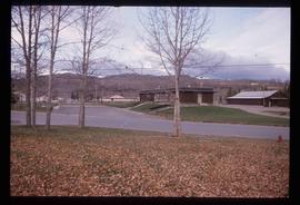
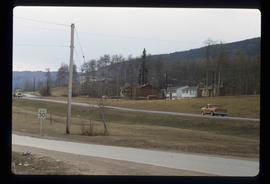
Image depicts several houses in Chetwynd, B.C.
File contains slides depicting places in or near Pine Pass and along the Peace River.
Image depicts the W.A.C. Bennett Dam on the Peace River in Hudson's Hope, B.C.
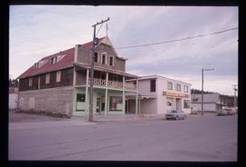
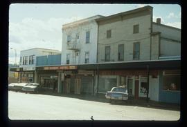
Image depicts an old, three-storey building beside a two-storey hotel in Hudson's Hope, B.C.
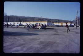
Image depicts a group of people throwing a frisbee in a parking lot at an uncertain location, likely in the Peace River Region.
Image depicts a view of a saw mill in Chetwynd, B.C.
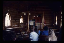
Image depicts several unidentified individuals inside of a church made from logs, possibly located in Fort St. John, B.C.
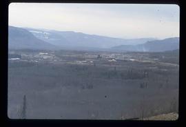
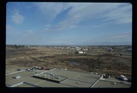
Image depicts a view of Fort St. John, B.C.
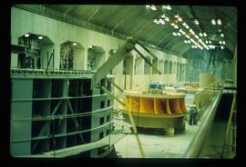
Image depicts a yellow turbine inside an unknown concrete structure, possibly somewhere in Fort St. John, B.C.
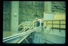
Image depicts a group of unidentified individuals wearing hard hats inside an unknown concrete structure, possibly located in Fort St. John, B.C.
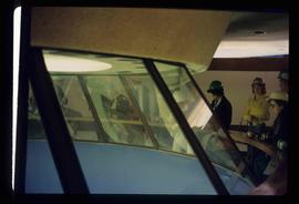
Image depicts a group of unidentified individuals look through an observatory window at an uncertain location, possibly in Fort St. John, B.C.
Image depicts the interior of what is possibly a heritage building in Dawson Creek, B.C.
Image depicts the Station Museum in Dawson Creek, B.C.
File contains slides depicting places around and between Skagway, on the Alaska border, Atlin and Miles Canyon.
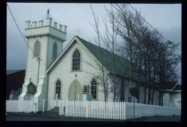
Image depicts an Anglican Church at the Atlin Museum.
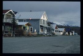
Image depicts a back street in Atlin, B.C.
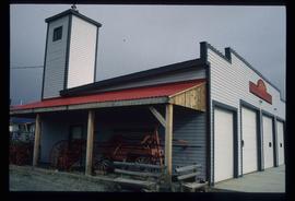
Image depicts the fire hall in Atlin, B.C.
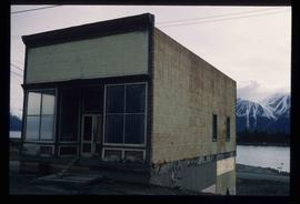
Image depicts an old building undergoing a restoration process, possibly in Atlin, B.C.
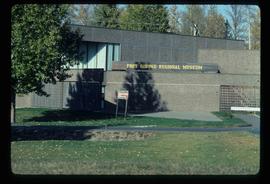
Image depicts the Fort George Regional Museum in Prince George, B.C.
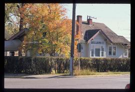
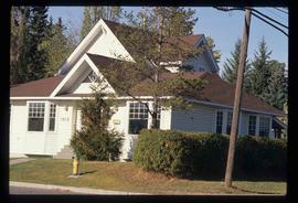
Image depicts a house on the corner of 7th Ave and Vancouver Street in Prince George, B.C.
Image depicts a house on the corner of 12th Ave and Vancouver Street in Prince George, B.C.
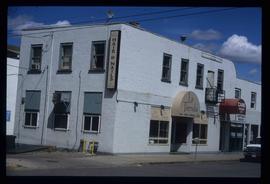
Image depicts the Europe Hotel in Prince George prior to its demolition in the 1980s; however, the slide itself was only made in 1999 and the date of the photo is otherwise unknown, but most likely around 1979.
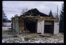
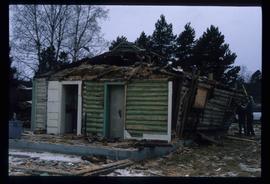
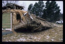
Image depicts a house in the process of being demolished in Prince George, B.C.
Image depicts a house in the process of being demolished in Prince George, B.C.
Image depicts a house in the process of being demolished in Prince George, B.C.
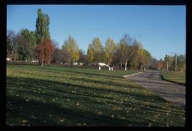
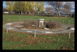
Image depicts the Lheidli T'enneh Burial Grounds in Fort George Park.
Image depicts the Lheidli T'enneh Burial Grounds in Fort George Park.
Image depicts the La Tienda Hair and Nail Salon on an uncertain street somewhere in Prince George, B.C.
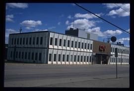
Image depicts the CN Building in Prince George, B.C.
Image depicts a view of George Street with the Prince George City Hall at the corner of George Street and 7th Avenue.
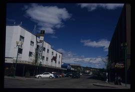
Image depicts a view of George Street with the Prince George Hotel.
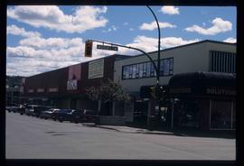
Image depicts a view of the corner of 3rd Avenue and Brunswick Street in Prince George, B.C.
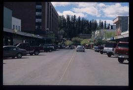
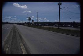
Image depicts a view along Highway 97 in Prince George, B.C.
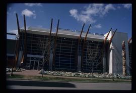
Image depicts the Two Rivers Art Gallery in Prince George, B.C.
