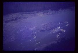
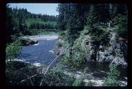
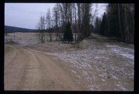
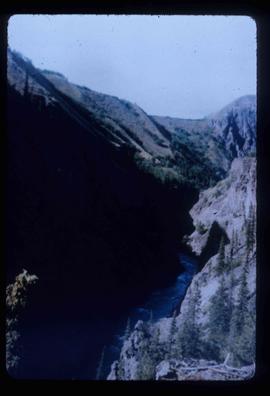
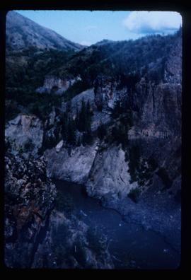
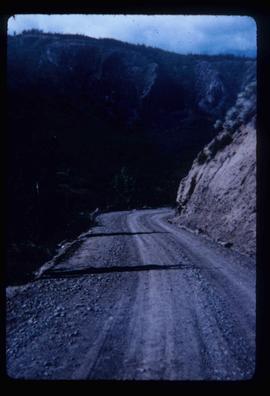
Image depicts Fort George Canyon.
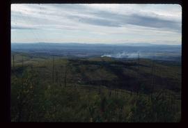
Image depicts a view of Prince George from Gunn Point in the L.C. Gunn Park looking north. Map coordinates 53°54'26.2"N 122°43'35.8"W.
Image depicts a view of Prince George from Gunn Point in the L.C. Gunn Park looking north. Map coordinates 53°54'26.2"N 122°43'35.8"W.
Image depicts a view of Prince George from Gunn Point in the L.C. Gunn Park looking north. Map coordinates 53°54'26.2"N 122°43'35.8"W.
Image depicts a view of Prince George from Gunn Point in the L.C. Gunn Park looking north. Map coordinates 53°54'26.2"N 122°43'35.8"W.
Image depicts a view of Prince George from Gunn Point in the L.C. Gunn Park looking north. Map coordinates 53°54'26.2"N 122°43'35.8"W.
Image depicts a view of Prince George, from Gunn Point in the L.C. Gunn Park.
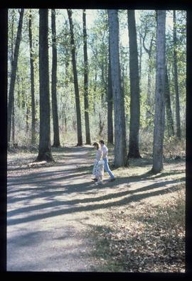
Image depicts a couple walking through a nature trail in Cottonwood Island Park. Map coordinates 53°55'23.6"N 122°43'53.8"W
Image depicts an aerial view of Fort George Park.
Image depicts the cutbanks on the other side of the Nechako, taken from the nature trail at Island Cache. Map coordinates 53°55'34.6"N 122°45'52.4"W
Image depicts the Northwood pulpmill in Prince George B.C.
Image depicts a view of Blackburn Schools, possibly taken from Tabor Mountain.
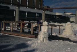
Image depicts two snow sculptures near a wooden bridge on an ice rink, possibly during the Winter City Conference, in Prince George, B.C. Taken at the Prince George Civic Center. Map coordinates 53°54'45.6"N 122°44'59.6"W
Image depicts downtown Prince George taken from across the Nechako River looking south. Map coordinates 53°56'00.0"N 122°44'29.7"W
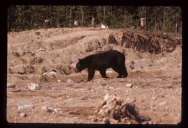
Image depicts a bear located at the Bear Lake Dump.
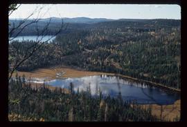
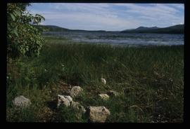
Image depicts Summit Lake.
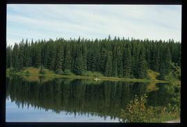
Image depicts a canoe on the Fraser Lake.
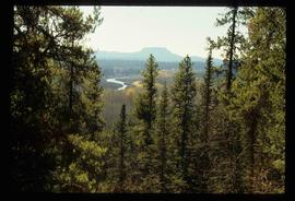
Image depicts a view of the Crooked River Provincial Park.
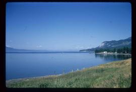
Image depicts McLeod Lake.
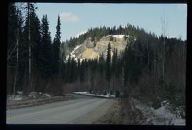
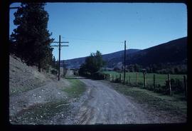
Image depicts a road, forest, and hill rise in an uncertain location possibly near Red Rock, B.C.
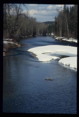
Image depicts a river, possibly near Bear Lake, B.C.
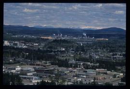
Image depicts Prince George from University Way, with the P.G.I. Pulp Mill in the distance.
Image depicts Stuart Lake in Fort St. James, B.C.
Image depicts Blackwater River, B.C.
Image depicts the Cariboo Road at Hat Creek Ranch, near Highway 99 on the way to Lillooet.
Image depicts the Stanley Cemetery.
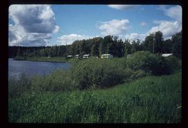
Image depicts McLeod Lake and several buildings along the shore.
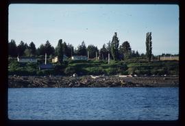
Image depicts buildings in the village community of Metlakatla, B.C.
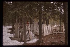
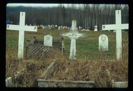
Image depicts a cemetery at an uncertain location, possibly in Fort St. James, B.C.
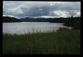
Image depicts McLeod lake.
Image depicts two rows of houses in an unknown location.
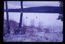
Image depicts Bobtail Lake.
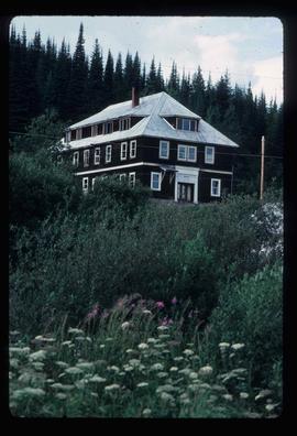
Photograph depicts the old hospital building in Wells. At the time the photo was taken, 1978, it was being used as an apartment building, and that is still its current use.
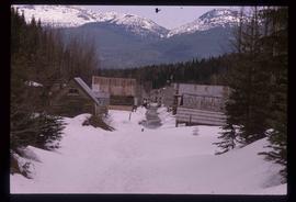
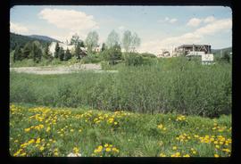
Image depicts Wells, B.C.
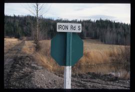
Image depicts the street sign for Iron Road South, which is located north of Woodpecker, B.C.
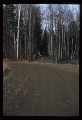
Image depicts a clearing through the woods, possibly an abandoned grade for the BCR. It is possibly located on Iron Road South, near Woodpecker B.C.
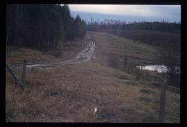
Image depicts a back road at an uncertain location, possibly near Iron Road North, north of Woodpecker, B.C.
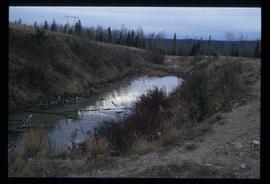
Image depicts a water-filled ditch near a road somewhere in Woodpecker B.C.
Image depicts a north view of a road somewhere in Woodpecker, B.C.
Image depicts the Telegraph Creek.
Image depicts the Telegraph Creek.
Image depicts Telegraph Creek Road.
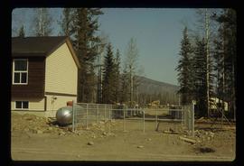
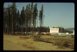
Image depicts a construction area somewhere in Tumbler Ridge, B.C.
Image depicts Quadra Ventures Industrial Lodge in Tumbler Ridge, B.C.
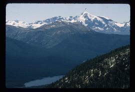
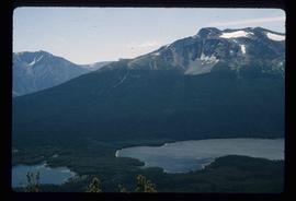
Image depicts a small section of Turner Lake, with what is most likely Glacier Mountain in the distance; they are located in South Tweedsmuir Park, B.C.
Image depicts an aerial view of what is likely Glacier Mountain in South Tweedsmuir Provincial Park. The two lakes present are possibly Vista and Junker.
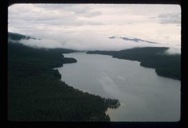
Image depicts an aerial view of a lake in South Tweedsmuir Provincial Park.
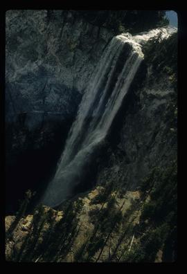
Image depicts an aerial view of a waterfall in South Tweedsmuir Provincial Park.
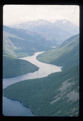
Image depicts an aerial view of a lake in South Tweedsmuir Provincial Park. It is possibly Lonesome Lake.
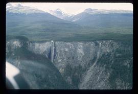
Image depicts an aerial view of a waterfall in South Tweedsmuir Provincial Park.
