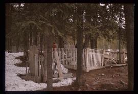
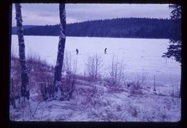
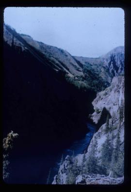
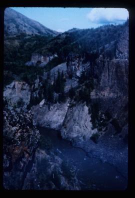
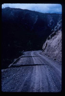
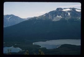
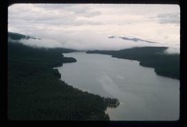
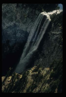
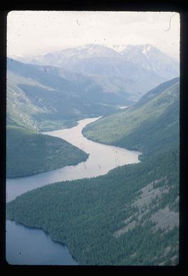
2012.13.1.3.039
·
Item
·
Nov. 1977
Part of J. Kent Sedgwick fonds
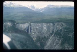
Image depicts Fort George Canyon.