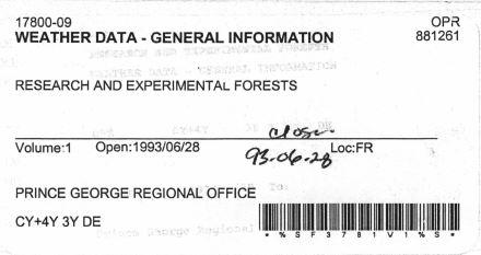
2007.1.09.1
·
File
·
1993
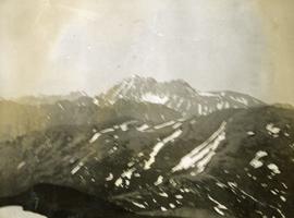
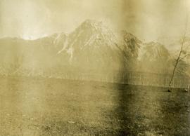
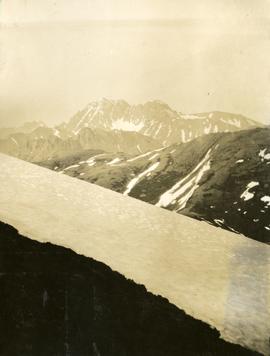
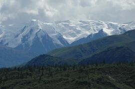
Part of Aleza Lake Research Forest fonds
File contains photocopied correspondence relating to climate monitoring stations.