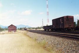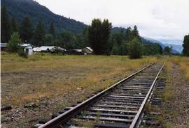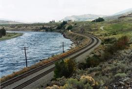
2013.6.36.1.121.02
·
Item
·
Sept. 2002
Part of David Davies Railway Collection
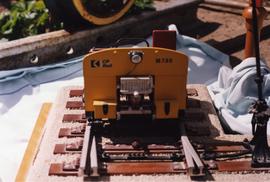
Photograph depicts a track car model (in fact, the base to the lamp shade).