2012.13.1.076
·
Deelreeks
·
[between 1971 and 1979]
Part of J. Kent Sedgwick fonds
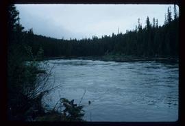
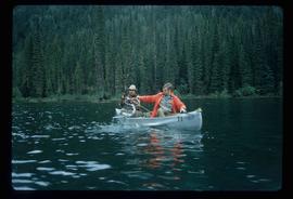
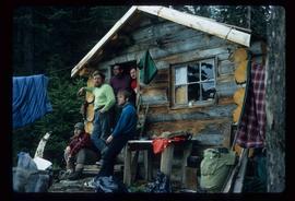
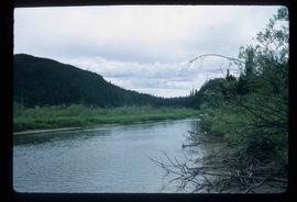
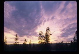
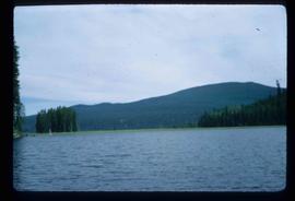
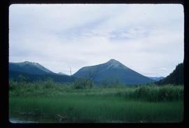
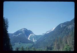
File contains slides depicting places along the Skeena River on the way to Prince Rupert, B.C.