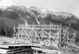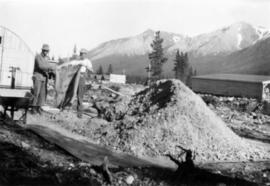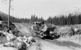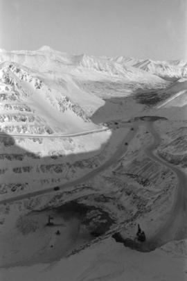
2000.1.1.2.1.152
·
Item
·
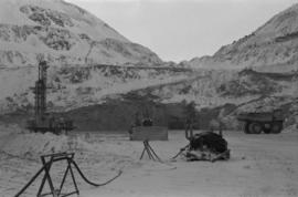
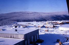
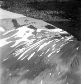
21 July 1952
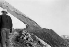
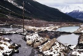
Part of Cassiar Asbestos Corporation Ltd. fonds
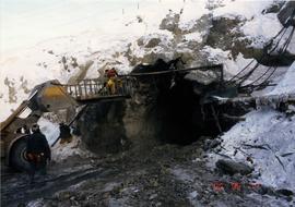
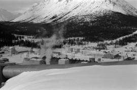
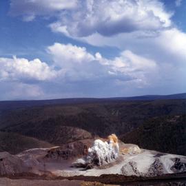
Photograph depicts snow area in mountain. Corresponding note on accompanying photo description page: "11. Looking down the cirque from near diamond drill shack. Still fair amount of snow."