2006.25.1.44
·
Item
·
Oct. 1963
Part of Al Elsey Moving Images Collection
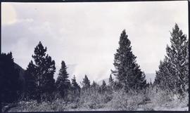
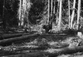
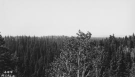
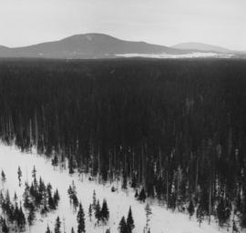
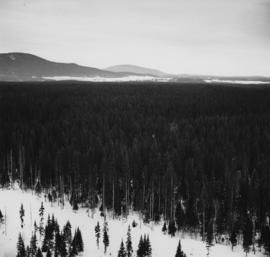
Footage of a pack train along a river, a campsite, view of the mountains, and two grouse.
Location is believed to be the Rainbow Mountains.