Item is a British Columbia Forest Cover Map, serial number 093J010. Includes full format forest cover labels.
Image depicts a sawmill, possibly Lakeland Sawmill, in Prince George B.C.
Image depicts a pulpmill, likely Northwood, in Prince George, B.C.
Image depicts a few trees, with what is possibly the Northwood Pulpmill in the background, in Prince George, B.C.
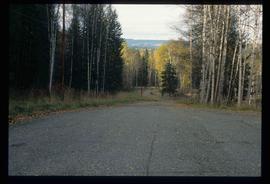
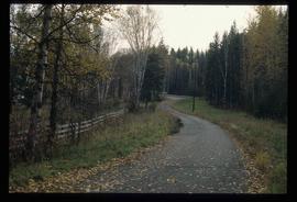
Image depicts a road near the Ginter House in Prince George, B.C.
Image depicts a road near the Ginter House in Prince George, B.C.
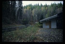
Image depicts the Ginter House and the surrounding woods, in Prince George, B.C.
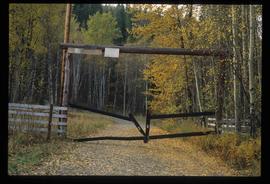
Image depicts a private driveway, most likely leading to the Ginter Property in Prince George, B.C.
Map depicts structural stages in the Aleza Lake Research Forest. Shows areas of: pioneer growth, shrub/herb, pole saplings, young forests, mature forests, and old forests. Ecosystem classification and mapping by Oikos Ecological Services Ltd.
Map depicts ecosystems in the Aleza Lake Research Forest. Shows areas of: upland sites without wetland components, upland sites with wetland components, lowland wet forest sites, wetlands, and Bowron floodplain benches. Ecosystem classification and mapping by Oikos Ecological Services Ltd.
Map depicts terrain themes in the Aleza Lake Research Forest. Ecosystem classification and mapping by Oikos Ecological Services Ltd.
Map depicts terrain in the Aleza Lake Research Forest. Ecosystem classification and mapping by Oikos Ecological Services Ltd.
Annotation on slide: "Log skidding on main haul road, Fleet Creek Trial SS054, Jan. 1995"
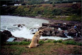
Photograph depicts dog seated on grass in foreground. Unidentified individuals visible below with fishing nets in waterfall area at Moricetown Canyon.
No annotation on slide.
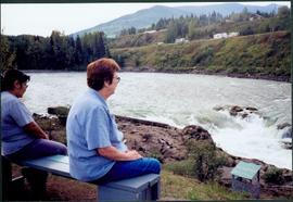
Photograph depicts Moran seated to right of woman on bench in foreground. Waterfall area at Moricetown Canyon can be seen below, behind booth labeled "MONITER BOOTH". Highway and houses visible on opposite shore in background.
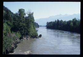
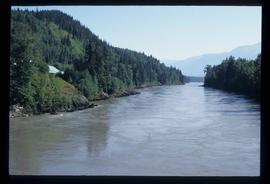
Image depicts what is possibly the Nass River.
Image depicts an unidentified individual diving into a pool of water at an uncertain location.
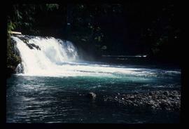
Image depicts a small waterfall at an uncertain location.
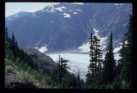
Image depicts a small section of the Bear Glacier.
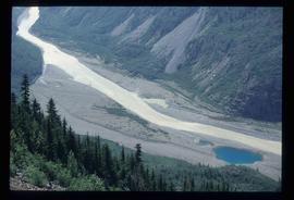
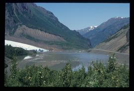
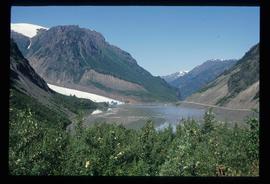
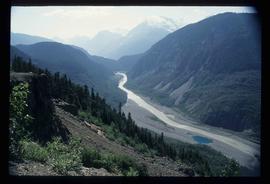
Image depicts what is possibly Bear River in the Bear Glacier Provincial Park.
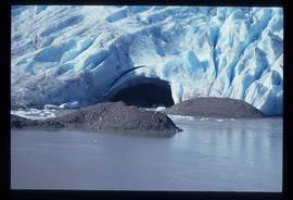
Image depicts what is possibly Bear River, flowing out from an opening in the Bear Glacier.
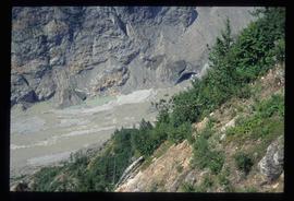
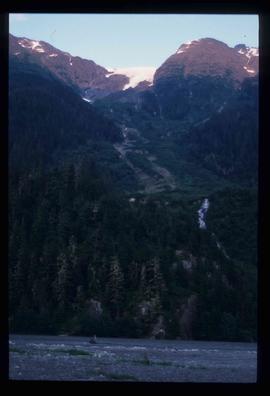
Image depicts a mountain somewhere in Bear Glacier Provincial Park.
Image depicts what is possibly Bear River flowing past what is likely a section of the Bear Glacier.
Image depicts what is possibly Bear River flowing past what is likely a section of the Bear Glacier.
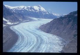
Image depicts the Bear Glacier stretching through a mountain range.
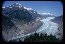
Image depicts the Bear Glacier stretching through a mountain range.
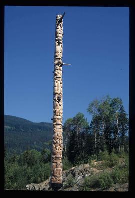
Image depicts a totem pole at an uncertain location, possibly in Gitwinksihlkw, B.C.
Mylar map is a plot map of a research plot at the Aleza Lake Research Forest. Provides date the plot was established, the harvest history, the silviculture history, remeasurement history, and information about individual trees.
Mylar map is a plot map of a research plot at the Aleza Lake Research Forest. Provides date the plot was established, the harvest history, the silviculture history, remeasurement history, and information about individual trees.
Mylar map is a plot map of a research plot at the Aleza Lake Research Forest. Provides date the plot was established, the harvest history, the silviculture history, remeasurement history, and information about individual trees.
Mylar map is a plot map of a research plot at the Aleza Lake Research Forest. Provides date the plot was established, the harvest history, the silviculture history, remeasurement history, and information about individual trees.
Mylar map is a plot map of a research plot at the Aleza Lake Research Forest. Provides date the plot was established, the harvest history, the silviculture history, remeasurement history, and information about individual trees.
Mylar map is a plot map of a research plot at the Aleza Lake Research Forest. Provides date the plot was established, the harvest history, the silviculture history, remeasurement history, and information about individual trees.
Mylar map is a plot map of a research plot at the Aleza Lake Research Forest. Provides date the plot was established, the harvest history, the silviculture history, remeasurement history, and information about individual trees.
Mylar map is a plot map of a research plot at the Aleza Lake Research Forest. Provides date the plot was established, the harvest history, the silviculture history, remeasurement history, and information about individual trees.
Mylar map is a plot map of a research plot at the Aleza Lake Research Forest. Provides date the plot was established, the harvest history, the silviculture history, remeasurement history, and information about individual trees.
Annotation on slide: "BC[?] advance regen. releasing in logged cedar block, ICHwk3"
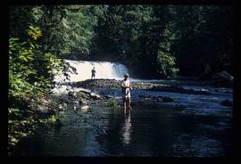
Image depicts a few unidentified individuals fishing in a river at an uncertain location.
Image depicts the North end of Portage Lake.
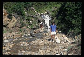
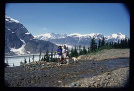
Image depicts two individuals and two dogs standing by a stream at an uncertain location, possibly somewhere in Bear Glacier Provincial Park. The woman in purple is possibly Sue Sedgwick.
Image depicts Sue and Kent Sedgwick with two dogs, standing with the Bear Glacier in the background.
Image depicts what is possibly Bear River in the Bear Glacier Provincial Park.
Image depicts a close-up of a cave-like opening in the Bear Glacier.
Mylar map is a plot map of a research plot at the Aleza Lake Research Forest. Provides date the plot was established, the harvest history, the silviculture history, remeasurement history, and information about individual trees.
Mylar map is a plot map of a research plot at the Aleza Lake Research Forest. Provides date the plot was established, the harvest history, the silviculture history, remeasurement history, and information about individual trees.
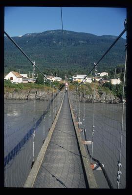
Image depicts a narrow footbridge suspended over a river at an uncertain location.
Image depicts what is possibly the Nass River.
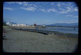
Image depicts what is possibly Hospital Beach in Kitimat, B.C. The facility in the background is possibly the Alcan smelter.
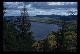
Image depicts a view of the Fraser Lake.
