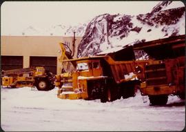
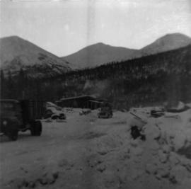
Photograph depicts the new mine garage behind machinery, mountains in background. Mobile blast hole drill can be seen in left foreground (manufactured by Robbins with Caterpillar undercarriage). Two 50-tonne Wabco "haul paks" in right foreground (ore haulage trucks).
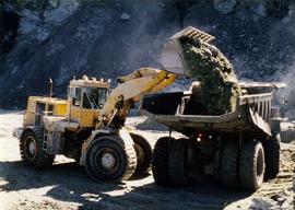
Photograph depicts shovel in excavation area of mine, loading ore haulage truck believed to be a Wabco "haul pak".
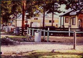
Photograph depicts residences and fenced front yards to left of street, trash cans in front. Small tricycle, camping trailer, power poles, and trees also visible.
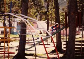
Photograph depicts unidentified child climbing front of slide in playground. Monkey bars in foreground, mobile homes in background. Trees visible throughout.
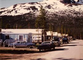
Photograph depicts vehicles parked in driveways and on street to right of mobile homes. Mountain base in background.
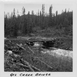
Photograph depicts a log bridge across Quartz Creek taken from shore. Trees in background on opposite shore, snow capped mountains barely visible behind trees.
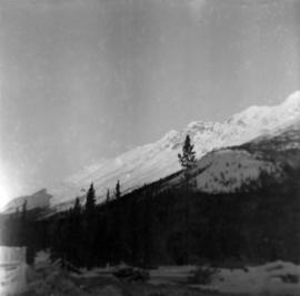
Photograph depicts McDame Mountain from view of the early construction campsite at Cassiar. Trees in foreground.
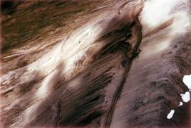
Photograph depicts glacier on McDame Creek road, 1.5 miles from the mine at Cassiar. Snow-covered trees in background.
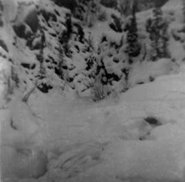
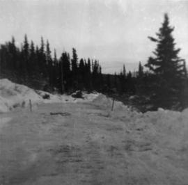
Photograph depicts McDame Creek Road, snow-covered and taken from center of road 1.5 miles from the early construction camp at Cassiar. Two stakes in foreground, one on either side of road. Glacier is believed to be crossing road between two stakes. Trees on either side of road, trees and hills in background.
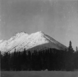
Photograph depicts snow-covered mountain north of townsite, partially covered in shadow. Photo taken with sun at highest point in the sky. Plant site clearing in foreground, trees behind clearing.
Photograph depicts weir on Troutline Creek, snow in foreground and background.
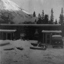
Photograph depicts cookery building with truck on right, in front of door. Snow-covered lumber piles and machinery in foreground, trees and mountain in background.
Photograph depicts cookery and bunkhouse buildings from side angle. Three trucks in foreground, unidentified object on right, trees and mountains in background.
Photograph depicts a wet mud road in forest. It is believed that a truck is visible in the far distant background.
Photograph depicts a wet mud road in forest. Two men in foreground on left, truck in distance, one man in distance on right.
Photograph depicts back of truck on wet mud road in forest. People visible in truck, one man on left, partial image of man on far right.
Aerial photograph of Clinton Creek, south east of plant site.
Aerial photograph of Clinton Creek, north west of plant site.
Aerial photograph of Clinton Creek, north west of plant site.
Aerial photograph of Clinton Creek, south west of plant site.
Aerial photograph of Clinton Creek, west of plant site.
Aerial photograph of Clinton Creek, north west of plant site.
Aerial photograph of Clinton Creek, north east of plant site.
Aerial photograph of Clinton Creek, west of plant site.
Aerial photograph of Clinton Creek, south of plant site.
Aerial photograph of Clinton Creek, south of plant site.
Aerial photograph of Clinton Creek, north east of plant site.
Aerial photograph of Clinton Creek, north east of plant site.
Aerial photograph of Clinton Creek, south east of plant site.
Flight index for 68 aerial photographs accompanying item. Map depicts Clinton Creek area, identifying airfield and mine. Cartographic legend: "CASSIAR ASBESTOS CORP LTD" "FLIGHT INDEX" "DATE OF PHOTOGRAPHY MAY 1965" "SCALE OF PHOTOGRAPHY 1" = 900 APPROX." "McELHANNEY ASSOCIATES VANCOVER B.C." "JOB No C189/6524".
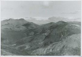
Photograph depicts range of hills, clouds in background.
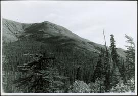
Photograph depicts hill, trees in foreground.
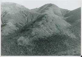
Photograph depicts range of hills, trees at base.
Photograph depicts range of hills, trees in valley.
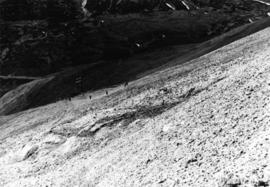
Bulldozer works along talus slope in top right of image. Photograph believed to have been taken during an outside exploration trip led by Cassiar's Chief Geologist Bill Plumb.
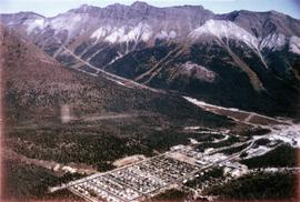
Photograph depicts the Cassiar town in foreground, mine valley and north mountain range in background. Photograph speculated to have been taken during the plane ride of an outside exploration trip.
Photograph depicts miner tramming ore in mine shaft at Hector-Calumet Mines (owned by United Keno Hill Mines Ltd.), Mayo Mining District, Y.T. It is speculated that this photo may have been kept for research purposes.
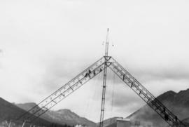
Photograph depicts crane in Cassiar plant site, steel framework for dry rock storage building in background.
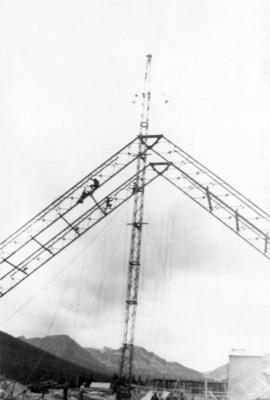
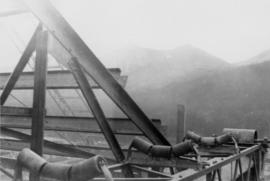
Photograph depicts corner of steel framed roof of building in Cassiar plant site, mountains in background.
Photograph depicts crane in Cassiar plant site, steel framework for dry rock storage building in background.
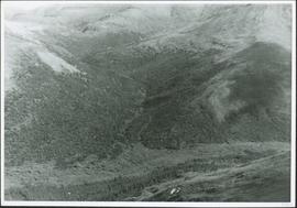
Photograph depicts valley and mountain range, speculated to be the Cassiar valley.
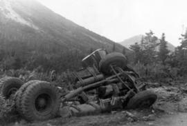
Photograph depicts crushed vehicle in wooded area, mountains in background.
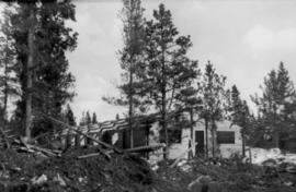
Photograph depicts wooden building believed to be bunkhouse in wooded area.
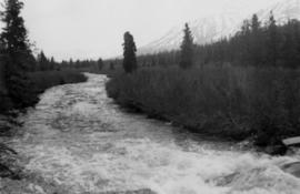
Photograph depicts river in wooded area, mountains in background.
Photograph depicts ore gravity chute on McDame Mountain, man walking uphill, mine valley in background.
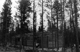
Photograph depicts a man with ladder working on wooden building in trees.
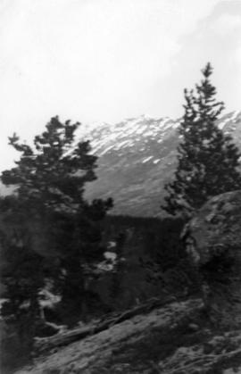
Photograph depicts rock outcrop on mountainside, two trees in background.
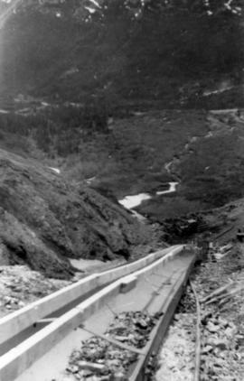
Photograph depicts minerals in ore gravity chute on McDame Mountain. View facing down mountain, mine valley in background.
Photograph depicts four unknown animals in distance on mountain slope, valley in background.
Photograph depicts side of building in Cassiar plant site, foreground shows what is believed to be mining operations equipment.
