Affichage de 796 résultats
Archival description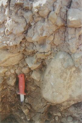
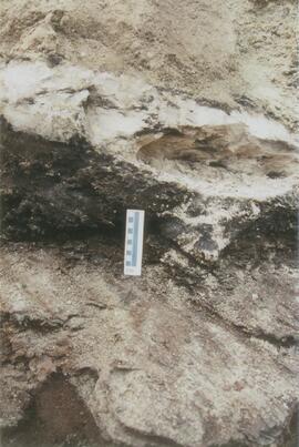
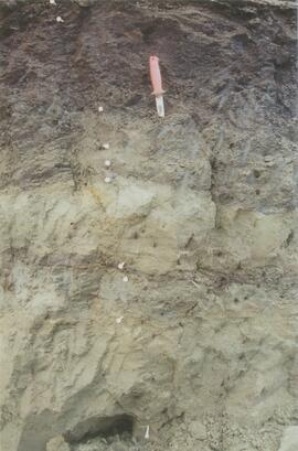
Site N04-04 (2)
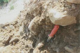
Site N04-04 (3)
Red Ochre River (8)
Site N04-05 Red Ochre River (1)
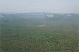
Mackenzie Valley - Franklin Mountains (2)
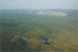
Mackenzie Valley - Franklin Mountains (5)
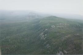
Norman Range (1)
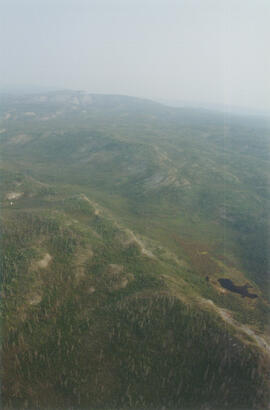
Norman Range (5)
Site Y04-18 at Lost Chicken Mine (6)
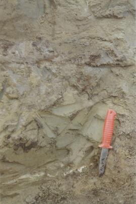
New tephra at Site Y04-18 at Lost Chicken Mine (8)
Site Y04-18 at Lost Chicken Mine (9)
Site Y04-18 at Lost Chicken Mine (10)
Site Y04-18 at Lost Chicken Mine (12)
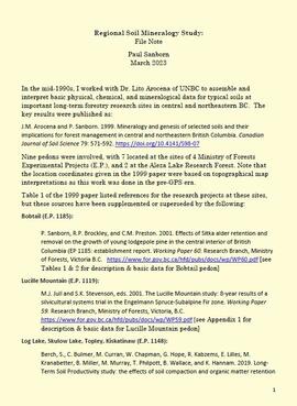
Regional soil mineralogy study
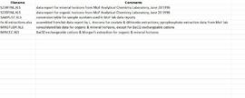
Data from Arocena & Sanborn 1999 regional soil mineralogy study
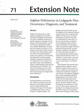
Extension Note 71: "Sulphur deficiencies in lodgepole pine: occurrence, diagnosis, and treatment"
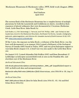
Mackenzie Mountains and Mackenzie Valley, NWT field work
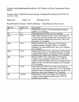
Cluculz Creek Fertilization Research Site
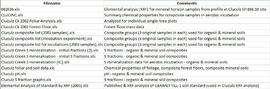
Data for Cluculz retrospective study (E.P. 886.10)
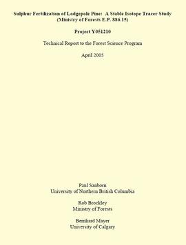
"Sulphur Fertilization of Lodgepole Pine: A Stable Isotope Tracer Study (Ministry of Forests E.P. 886.15) - Project Y051210 - Technical Report to the Forest Science Program"
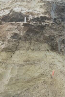
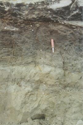
Descriptions and Properties of Riparian Paleosols, Gold Bottom, Yukon Territory

"Paleosol Studies at Inlin Brook, NWT: August, 2004 - Report to the Geological Survey of Canada"

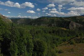
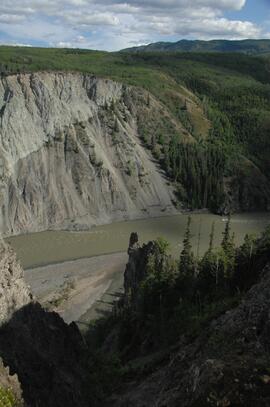
Paleosols at the Goldbottom site, Klondike goldfields

Lower Tuya River, facing downstream ~5 km above the Stikine River confluence
Untitled

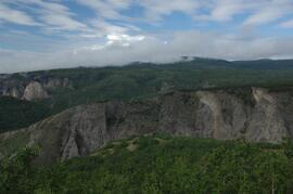
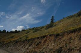
Basalt flows, north side of Stikine River along Telegraph Creek Road
Untitled
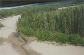
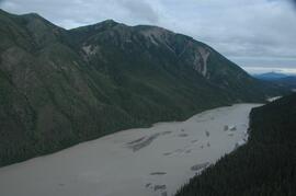
Stikine River, facing upstream ~8 km northeast of the Tuya River confluence
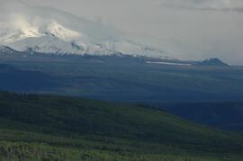
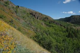
View west to Mt Edziza
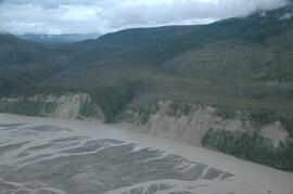
Tuya River, facing downstream ~10 km above the Stikine River confluence

Forest-grassland mosaic, southeast side of Kluane Lake (north of Christmas Bay)

Forest-grassland mosaic, southeast side of Kluane Lake (north of Christmas Bay)
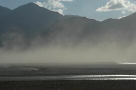
Dust storm over Slims River, upstream of Alaska Highway
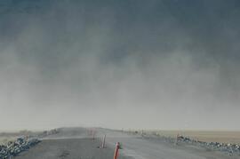
Dust storm over Slims River, obscuring Alaska Highway

Beetle-killed spruce forest, southeast side of Kluane Lake

Beetle-killed spruce forest and adjacent grassland, southeast side of Kluane Lake

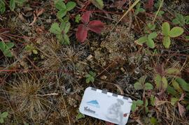
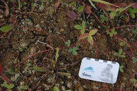
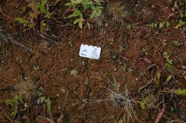
South facing grasslands, ~1 km on Mt Nansen Road
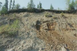
Tuya River valley soil crust at site BC07-01
Tuya River valley soil crust at site BC07-03
Tuya River valley soil crust at site BC07-03
Tuya River valley soil crust at site BC07-03
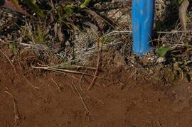
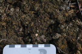
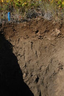
Tuya River valley soil at site BC07-03
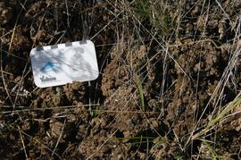
Stikine River valley soil crust at site BC07-04
Stikine River valley soil crust at site BC07-04
Stikine River valley site BC07-04
Stikine River valley soil at site BC07-04
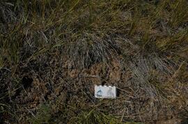
Stikine River valley site BC07-05
White River, facing north downstream
White River, west bank ~10 km above highway bridge

West side of Generc River, with thick tephra cover over glacial deposits