File consists of notes and reproductions relating to the 5th and 6th Dukes of Sutherland.
The item is a CD-R containing photographs from Suzanne Krejcha depicting Fort George Park farm.
The item is an audio cassette recording an interview with Trelle Morrow.
The item is an audio recording of a CBC interview with Trelle Morrow.
This item is a photograph of 575 Quebec Street, Prince George. Building is white, pink and blue. Telus tower can be seen in the background.
Blue and white building in downtown Prince George.
This item is a photograph of the Fane Building in downtown Prince George. "For Lease Office Space" sign in one of the windows.
This item is a photograph of the Fane Building in downtown Prince George.
This item is a photograph of a yellow parkade in downtown Prince George. Liquidation World can be seen in the background.
This item is a photograph of Frameworks Gallery and National Til'den Car & Truck Sales in downtown Prince George. Telus building can be seen in the background. Annotation on back states, "demo 2007 for gaming centre."
This item is a 35 mm photograph negative of the Highway 16 bridge over the Fraser River. Photograph was taken in the fall.
This item is a 35 mm photograph negative of the Nechako River, Prince George. Water level is very low.
File consists of notes and clippings relating to the Cariboo Road. The Cariboo Road (also called the Cariboo Wagon Road, the Great North Road or the Queen's Highway) was a project initiated in 1860 by the Governor of the Colony of British Columbia, James Douglas. The road stretched from Fort Yale to Barkerville, B.C. through hazardous canyon territory in the Interior of British Columbia.
File consists of notes and printed emails relating to a Japanese internment camp and sawmill near Penny and Hungary Creek.
File consists of notes and reproductions relating to the Strathnaver, BC land records. Strathnaver, BC is located 42 kilometres north of Quesnel and was settled by the Duke of Sutherland.
File consists of audio and visual material relating to the interview of Trelle Morrow conducted by Kent Sedgwick. Also includes an audio cassette entitled "Trelle Morrow interview"; an audio microcassette entitled "Kent - CBC -Trelle"; and a CD-ROM entitled "Trelle Morrow interview colour photos" depicting photographs of the interview.
The item is an audio compact disc interview with Trelle Morrow.
File consists of photographs depicting various buildings in downtown Prince George and the Fraser River taken by Trelle Morrow.
This item is a photograph of 575 Quebec Street, Prince George. Building is white, pink and blue. Telus tower can be seen in the background.
This item is a photograph of the Fane Building in downtown Prince George. The Telus building can be seen in the background.
This item is a photograph of Dr. D. G. Wheatcroft Chiropractors, Happy Scrappers and the Law Office of Brian Gilson, George Leven, and Jason LeBlond.
This item is a photograph of the Freemason building at 480 Vancouver Street, Prince George.
This item is a 35 mm photograph negative of the Nechako River, Prince George. Water level is very low.
File consists of notes, reproductions, and clippings relating to an oral history interview with John Warren Meyer, veteran aviator, conducted by Kent Sedgwick. Includes: "College of New Caledonia Oral History Series" typed document with edits from Kent Sedgwick (2008); "Prince George oral history group interview with Frederick Thomas Norton" typed transcript of oral interview (9 Mar. 2005); and "RE: Interview arrangements" printed email from Bill Dodge to Kent Sedgwick (22 Aug. 2006). Also includes two 2006 photographs depicting Thomas Norton, Warren Meyer, Trelle Morrow, and Kent Sedgwick and a CD-R containing photos from the Exploration Place depicting WWII Aviation.
Item is a CD-ROM containing photographs of Exploration Place's World War II Aviation Exhibit. Photographs compiled by Katherine Plett.
File consists of notes and reproductions relating to the Royal Engineers and Henry Spencer Palmer, a British Army military engineer and surveyor. Henry Spencer Palmer was sent to British Columbia and completed a report in 1863 on Wiliams Lake, the Caribou Districts, and the Fraser River from Fort Alexandria to Fort George. File primarily consists of Kent Sedgwick's handwritten notes on Henry Palmer and his work in British Columbia.
Photograph depicts an open grassy field surrounded by trees in Soda Creek.
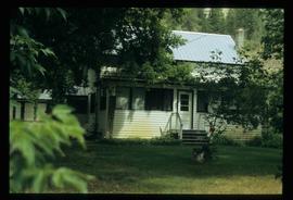
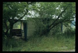
Photograph depicting a garden and backyard in someone's personal residence.
Photograph depicting a garden and backyard in someone's personal residence.
Photograph depicting a garden and backyard in someone's personal residence.
Photograph depicting a dog laying in the grass in someone's backyard of a personal residence.
The item is a photograph and negative of a survey map of the Prince George townsite South of the Nechako River and West of the Fraser River.
The item is a photograph and negative of a survey map of the Prince George townsite surrounding Connaught Park.
The item is a photograph and negative of a survey map of the Prince George townsite. Areas highlighted are in the Nechako and Fraser River area, including Connaught Park.
The item is a photograph and negative of a survey map of the Prince George townsite. Areas highlighted are in the Nechako and Fraser River area, including Connaught Park.
The item is a photograph negative of a man and woman sitting in front of a house. They are dressed in formal attire and are drinking what appears to be a glass of wine.
File predominantly consists of photocopies of newspaper articles, along with notes and reproductions relating to the development of the Prince George townsite and subdivision of Fort George, especially the area covered by Cariboo District Plan 1268. Includes material on investments and sale of lots in Prince George, Grand Trunk Pacific development in Prince George, and incorporation of the city of Prince George.
File consists of notes and reproductions relating to the first Pentecostal church originally at 1405 Sixth Avenue, Prince George.
The item is a photograph depicting the exterior of old stable on the Moffat farmland.
The item is a CD-R containing 36 jpg. photographs relating to Kent Sedgwick's guest lecture on Prince Gorge geography and development.
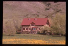
Image depicts the Alkali Lake Ranch in Akali Lake, B.C.
Image depicts a shed in an unknown location.
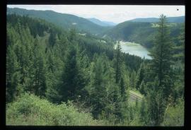
Image depicts rail road tracks through a forest, as well as a river; located in Soda Creek, B.C.
Image depicts the old community hall in Soda Creek, B.C.
Image depicts a house in Soda Creek, B.C.
Image depicts the old BX Sternwheeler office building in Soda Creek, B.C.
Image depicts an old building located somewhere are the Pickard farm north of Soda Creek, B.C.
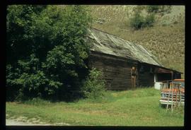
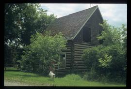
Image depicts an old log cabin at an uncertain location.
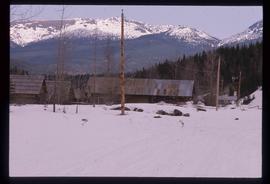
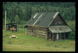
Image depicts several old log cabins, possibly at McLeod Lake.
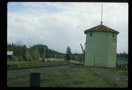
Image depicts a train track and several buildings in an unknown location.
