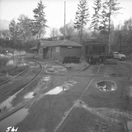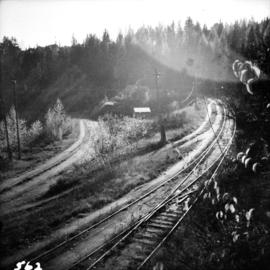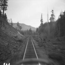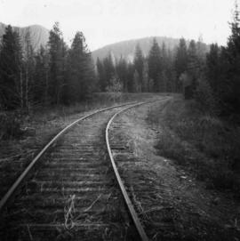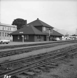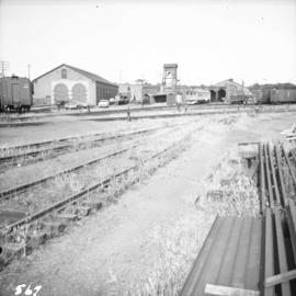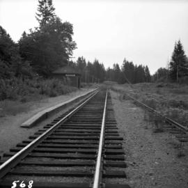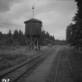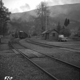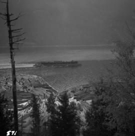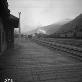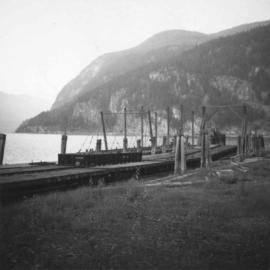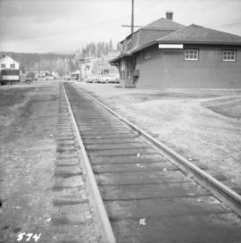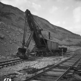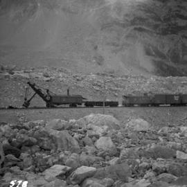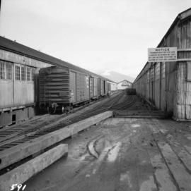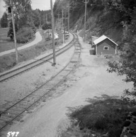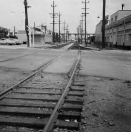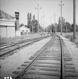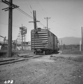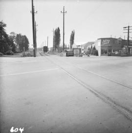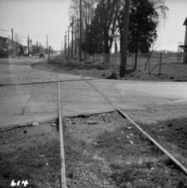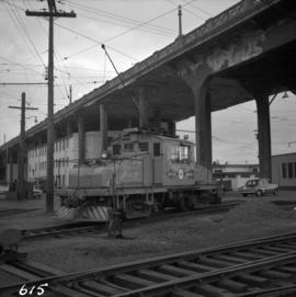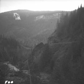
2013.6.36.1.007.092
·
Item
·
Oct. 1965
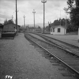
Parte de David Davies Railway Collection
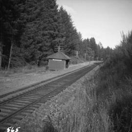
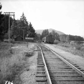
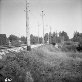
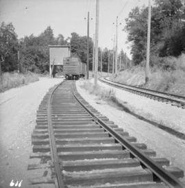
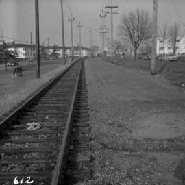
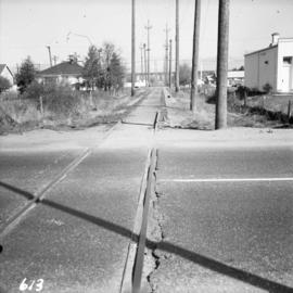
Photograph depicts the grade of a former railway between Kaslo and New Denver, just on the east side of the summit at Retallack.