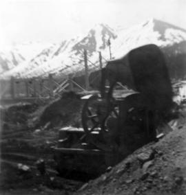
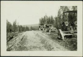
2006.20.3.40
·
Item
·
[between 23 May 1906 and 15 October 1906]
Parte de Northern BC Archives Historical Photograph Collection
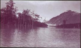
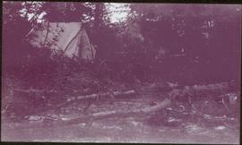
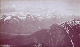
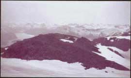
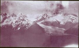
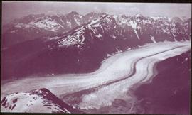
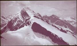
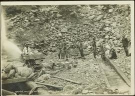
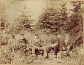
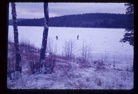
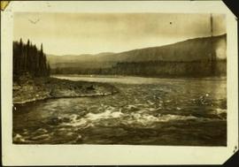
Photograph features iceberg floating in water, mountains on shore in background.
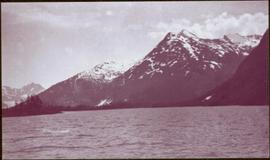
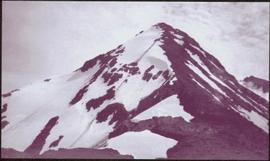
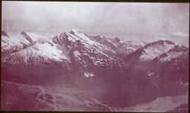
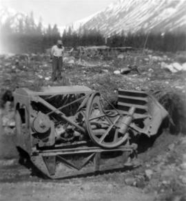
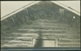
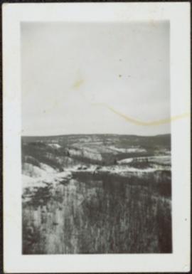
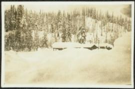
Image is one of 65 photos documenting a survey of the Canada-Alaska Boundary, Taku River area, May 23 to Oct. 15, 1906. This particular photo is one of 7 found in original enclosure with the following handwritten annotation: "Around River Taku and main camp on same." See also items 2006.20.3.35 - 2006.20.3.41.