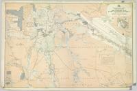
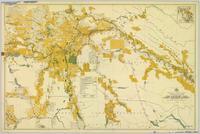
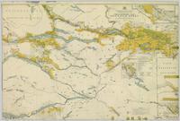
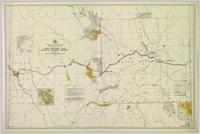
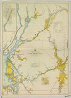
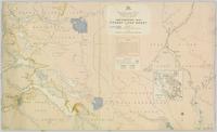
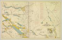
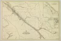
File consists of notes and reproductions relating to pre-emption crown land grants between 1869 until 1912 in British Columbia, primarily in Prince George. File primarily consists of printed copies of pre-emptor maps of Prince George and region from the Royal BC Archives and Museum.
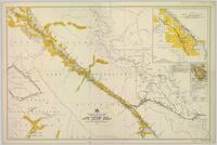
Colour-coded map depicting lands open for pre-emption, lands in “University Reserve,” and lands reserved for public auction. Depicts land recording divisions, communities, bodies of water, transport routes, and game reserves.
Colour-coded map depicting lands surveyed as alienated, reserved, Statutory Timber Lands, B.C. Land Settlement Board Area, or open for pre-emption. Depicts land districts, land recording divisions, communities, game reserves, bodies of water, transport routes, and communication lines.
Colour-coded map depicting surveyed lands alienated, reserved, in B.C. Land Settlement Board Area, or open for preemption. Depicts land districts, land recording divisions, communities, bodies of water, transport routes, and communication lines.
Colour-coded topographic map depicting lands surveyed as alienated, reserved, or open to preemption. Depicts land districts, land recording divisions, communities, bodies of water, communication lines, and transport routes.
Colour-coded map depicting surveyed lands respectively open and closed to preemption. Depicts land recording divisions, land district boundaries, government reserves, communities, bodies of water, and transport routes. Includes topographical inset.
Colour-coded map depicting lands open for preemption, in “University Reserve,” or reserved for public auction. Depicts land recording divisions, communities, bodies of water, and transport routes.
Colour-coded topographic map depicting lands surveyed as alienated, reserved, or statutory timber land. Depicts land district boundaries, land recording divisions, HBC posts, triangulation stations, telephone lines, communities, bodies of water, and transport routes. Defines resource type areas (“Land Form,” “Soil,” “Forest Cover,” “Grazing,” “Geological & Mineralogical,” “Fur-Bearing Animals & Game”). Includes explanatory “Natural Resources Reference.”
Map depicting surveyed lands, statutory timber lands, land recording divisions, game reserves, communities, bodies of water, and transport routes. Includes inset of McBride townsite.
Colour-coded map depicting surveyed lands respectively open and closed to preemption. Depicts land recording divisions, game reserves, communities, bodies of water, and transport routes. Includes inset of McBride townsite.
Item is a photocopied 1915 pre-emptor's map of Fort George, published by the British Columbia Department of Lands.
Item is a photocopied 1923 pre-emptor's map of Fort George, published by the British Columbia Department of Lands.
Item is a photocopied 1930 pre-emptor's map of Fort George, published by the British Columbia Department of Lands.
Item is a photocopied 1930 pre-emptor's map of Fort George, published by the British Columbia Department of Lands.
Item is an original 1943 pre-emptor's map of Fort George, published by the British Columbia Department of Lands.
Item is a photocopied 1949 pre-emptor's map of Fort George, published by the British Columbia Department of Lands.
Item is an original 1935 pre-emptor's map of Quesnel, published by the British Columbia Department of Lands.
This photocopy of a 1911 pre-emptor's map depicts land parcels in the vicinity of the Fraser River, Salmon River, and Willow River in the Fort George and Peace River areas.
Item is an original 1919 pre-emptor's map of Tete Jaune, published by the British Columbia Department of Lands.
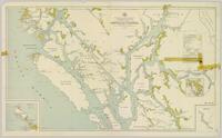
Colour-coded map depicting lands surveyed as alienated, reserved, and having a timber license, lease, or sale. Depicts land recording divisions, land district boundaries, communities, bodies of water, and transport routes. Includes insets of Stephens Island and Egeria Reach.
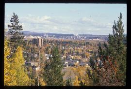
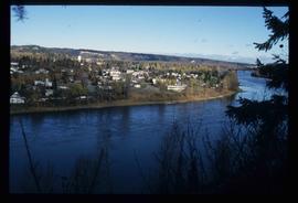
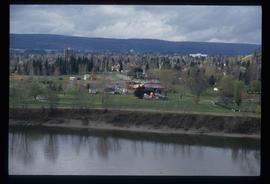
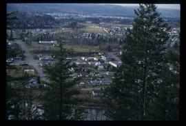
File contains slides depicting scenery at various locations.
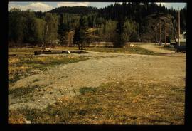
Previous site of sawmill in Giscome, B.C. looking northwest. Map coordinates 54°04'19.7"N 122°22'04.7"W
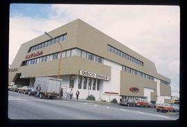
Image depicts the Pride O' the North shopping mall in Prince Rupert, B.C.
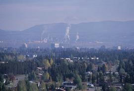
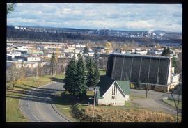
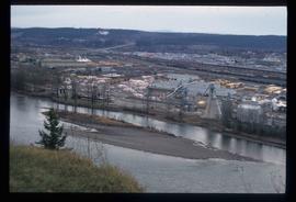
Image depicts Prince George, possibly with the Northwood Pulpmill in the background.
Image depicts Prince George, possibly with the Northwood Pulpmill in the background.
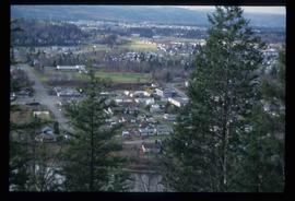
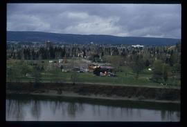
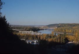
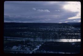
Image depicts a view of Prince George from an uncertain location.
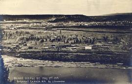
Image depicts a view of Prince George.
Image depicts a view of Prince George.
Image depicts a view of Prince George.
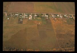
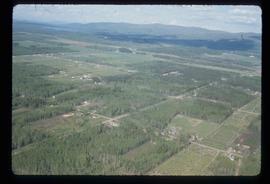
Image depicts an aerial view of what is possibly an outlying area of Prince George, B.C.
Image depicts a view of Prince George.
Image depicts Prince George, possibly with the Northwood Pulpmill in the background.
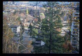
Image depicts Prince George with numerous trees obscuring most of the view.
Image depicts Prince George.
Image depicts a view of Prince George.
Image depicts a sawmill in Prince George, B.C.
Item is an original 1967 map depicting Prince George in British Columbia, published by the British Columbia Department of Lands, Forests and Water Resources. Map includes pen markings.
Item is an original 1976 map depicting Prince George, published by the Province of British Columbia Ministry of the Environment.
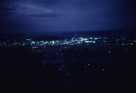
Image depicts Prince George at night from the cutbanks.
Photograph landscape shot of Prince George
File consists of brochures relating to Prince George and the surrounding area. Includes: "Regional Parks" prepared by the Regional District of Fraser-Fort George; "A Guide to the Natural Habitat" prepared by the Habitat Information Group; "Wildlife Viewing at Forests for the World" prepared in co-operation with the Prince George Naturalists Club and British Columbia Wilflife Watch; "Your Guide to Downtown Prince George" prepared by the Prince George Town Centre Business Association; and "Welcome to the Forest" prepared by the City of Prince George.
File consists of notes, reproductions, and clippings relating to the cemetery in Prince George. Includes: "Landscape of the Past: A brief history of the Prince George municipal cemetery" photocopied essay by Gary McKivett (1999); "RE: SFG cemetery" printed email from Robin and Barbara Fairservice to Kent Sedgwick (8 July 2008); "City of Prince George Memorandum" typescript document from the Heritage Advisory Committee (14 Mar. 1991); "The Prince George Family History Society" brochure (1991); and "City of Prince George by-law no.732" reproduction of a typescript document (Dec. 1953). Also includes "Plan of subdivision of part of Lot 925" a map reproduction depicting the lots beside the Fraser River and the original cemetery (1910).
Image depicts a clearing in Prince George, B.C.
File consists of notes and reproductions relating to climate in Prince George. Includes: "Annual meteorology summary Prince George, B.C". document from Environment Canada (1989).
File consists of notes, clippings, and reproductions relating to a downtown walking tour conducted by Sedgwick for the British Columbia Historical Federation 2003 conference. Also includes photographs depicting participants of the BC Historical Federation Conference on a downtown walking tour in Prince George (2003).
File consists of notes and reproductions relating to floods in Prince George. Also includes photographs depicting a sign describing the importance of floods in Prince George.
Image depicts Prince George from the view of Peden Hill.
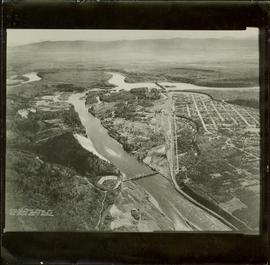
Item is a photograph of Prince George taken from the air, looking east with the Cameron Street Bridge in the foreground.
Image depicts a view of Prince George from the cutbanks.
