2012.13.2.02.23
·
File
·
2001-2007
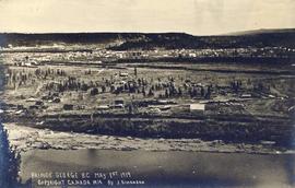
Part of J. Kent Sedgwick fonds
File consists of notes and reproductions relating to pre-emption crown land grants between 1869 until 1912 in British Columbia, primarily in Prince George. File primarily consists of printed copies of pre-emptor maps of Prince George and region from the Royal BC Archives and Museum.