File consists of a paper titled "Algoma and Superior: Prospects for Political Separation in Northern Ontario and Northern Michigan" presented by Weller at the 1982 Western Social Science Association conference. This file was originally numbered to correspond with conference paper number 20 listed in Weller's CV.
Subseries consists of records relating to Algoma Steel Inc. that were created or accumulated by Adam Zimmerman during his tenure on the company's Board of Directors. Includes correspondence, a Director's manual, reports, Algoma annual reports, strategy and planning documents, and meeting materials.
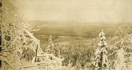
Algoma Steel Inc.Photograph depicts snow covered trees and forest.
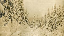
Photograph depicts snow covered trees and forest.
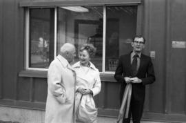
Photograph depicts Alice Gritzuk and two unknown men at a building dedicated by Mrs. Gritzuk.
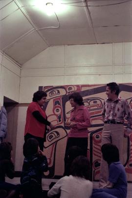
Photograph depicts Alice Jeffrey giving a gift to a woman at a Glen Vowell reserve potluck after the key presentation.
File contains a letter from Alice Klein. Includes a letter to Brian Fawcett from Alice Klein at the Now Magazine, regarding Brian's review of a draft submitted. Letter dated November 9, 1995.
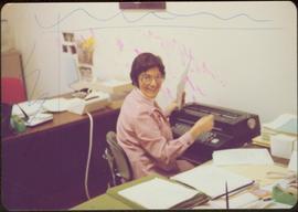
Handwritten annotation on verso reads: “Alice Massad, faithful worker, Ottawa Office (staff of 23)”.
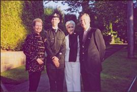
The group stands on the sidewalk of a residential street. Photograph believed to have been taken at the Countess Aline Dobrzensky's Garden Party.
Handwritten annotation on verso reads: “June 04”.
File contains correspondence from Alison to Brian Fawcett. Includes a letter is regarding Fawcett being chosen as one of the winners for the Writer's Choice Campaign.
File consists of an oral history given by Alistair McVey, which was gathered as part of Dr. Mike Evan's Island Cache Recovery Project. Includes consent forms, transcripts, and the recorded oral history on the original media.
File consists of a consent form, transcript and audio recording from an interview with Alive V. Payne conducted for Ainley's "Critical Turning Points" research.
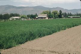
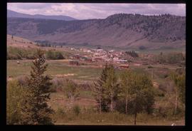
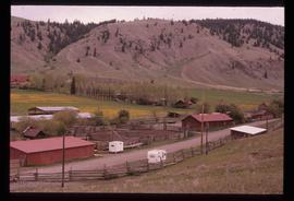
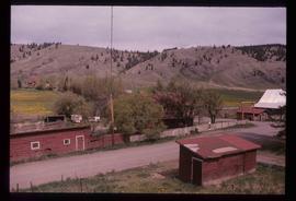
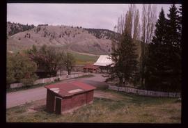
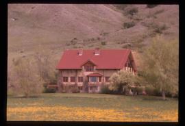
Image depicts the Alkali Lake Ranch in Alkali Lake, B.C.
Image depicts the Alkali Lake Ranch in Alkali Lake, B.C.
Image depicts the Alkali Lake Ranch in Alkali Lake, B.C.
Image depicts the Alkali Lake Ranch in Alkali Lake, B.C.
Image depicts the Alkali Lake Ranch in Akali Lake, B.C.
File consists of two issues of "All Aboard!", the onboard magazine of the White Pass & Yukon Railway, from the years 2005 and 2008.
Glass slide depicts multiple sailboats in a bay with a setting sun. Lyrics from the hymn "All hail the Power of Jesus' name" are printed on the slide, "Sinners, whose love can ne'er forget This wormwood and the gall, Go spread yor trophies at His feet And crown Him Lord of all. Let every tribe and every tongue Before Him prostrate fall, And shout in universal song The crowned Lord of all. Amen." Annotation on printed stamp states, "All hail the power of Jesus' name."
Glass slide depicts multiple sailboats in a bay with a sunset with lyrics to the hymn "All Hail the Power of Jesus' Name." Annotations include a stamp that states, "All hail the power of Jesus name."
Includes publication contracts, correspondence, copyright documentation, draft manuscript of "I Love You, Gran".
Includes copies of published story and teacher's guide from The Blue Jean Collection published by Thistledown Press.
Consists of 1 audio recording (Fuji DR) of Allan & Gladys Thorp being interviewed by Debbie Nowak.
Consists of 1 audio recording (Fuji DR) of Allan & Gladys Thorp being interviewed by Debbie Nowak.
Consists of 1 audio recording (Fuji DR) of Allan & Gladys Thorp being interviewed by Debbie Nowak.
Consists of 1 audio recording (Fuji DR) of Allan & Gladys Thorp being interviewed by Debbie Nowak.
Consists of 1 audio recording (Fuji DR) of Allan & Gladys Thorp being interviewed by Debbie Nowak.
Consists of 1 audio recording (Fuji DR) of Allan & Gladys Thorp being interviewed by Debbie Nowak.
Consists of 1 audio recording (FUJI DR) of Allan & Olga Stevens being interviewed by Debbie Nowak.
Series consists of materials related to the oral history related by to Debbie Nowak by Allan and Gladys Thorp. Includes four audio recordings, each of which has an accompanying copy.
Item is an audio recording of Allan Anderson CBC interview and reading.
File contains correspondence to Brian Fawcett from Allan Safarik. The item is correspondence agreement form to Brian Fawcett from Allan Safarik, Editor, The Vancouver Poetry Book agreement form requesting permission to use one of Brian's poems. Agreement dated 1986.
Consists of 1 audio recording (Fuji DR) of Allan Thorp being interviewed by Debbie Nowak.
Consists of 1 audio recording (Fuji DR-I) of Allan Thorp being interviewed by Debbie Nowak.
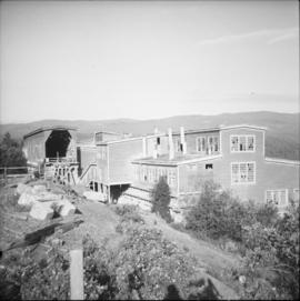
Photo depict a disused concentrator of the Granby Mining Company Ltd. Located 5 miles southwest of Princeton and 8 miles east of Copper Mountain ore workings, which are also largely disused. The building of the concentrator commenced in 1917 and the first ore was reduced in October, 1920. Ore cars from workings via the CPR spur entered the snow shed that is visible on the left. Rail track was lifted in 1957.
Photograph depicts Alleyway in Prince George.
Photograph depicts Alleyway in Prince George.
File consists of research materials concerning Allie V. Douglas including interview transcripts, photocopies of archival materials, and handwritten notes.
Consists of the records of the Allied Rivers Commission and the Rivers Defense Coalition.
File consists if research materials and biographical information about Susan Allison, a pioneer the BC interior who worked with the indigenous of the region. File includes handwritten notes, photocopies from publications, and related correspondence.
Postcard depicts an area along the Thompson River, towards the Fraser Canyon. Looking left, downstream. Westbound CPR freight is visible. Short train by any standards in the 1980s and 1990s.
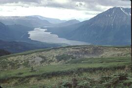
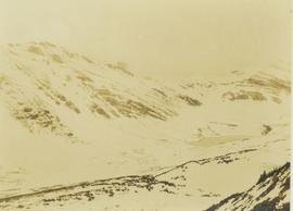
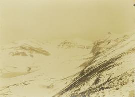
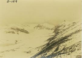
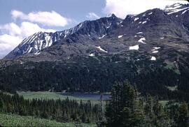
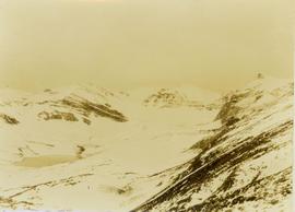
Photograph depicts an alpine lake amongst snow-covered mountain peaks.
Photograph depicts an alpine lake amongst snow-covered mountain peaks.
Photograph depicts an alpine lake at the top of a snow-covered mountain.
Photograph depicts an alpine lack situated at the top of snow-covered mountain peaks.
