2000.19.2.182
·
Item
·
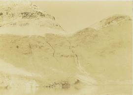
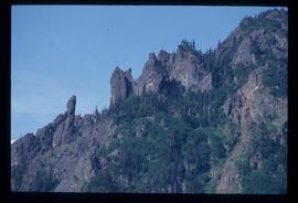
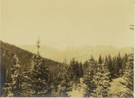
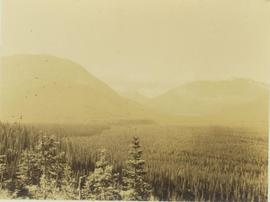
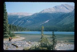
29 Aug. 1927-26 Sept. 1927
Part of Prentiss Gray Collection
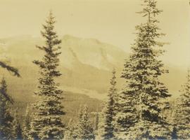
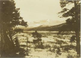
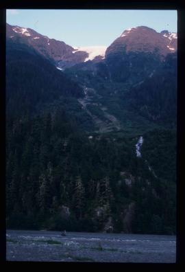
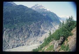
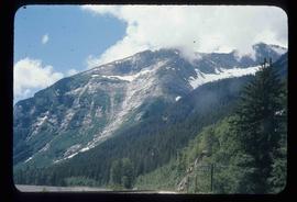
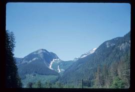
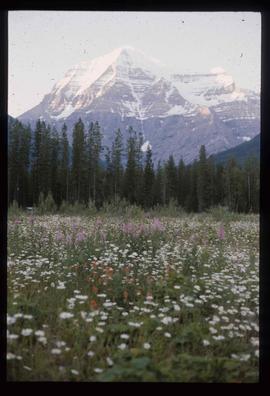
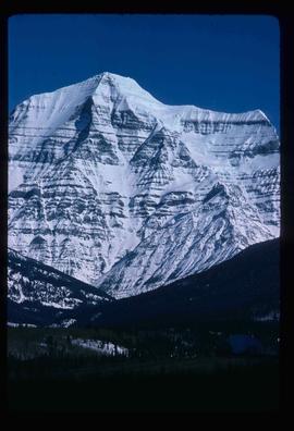
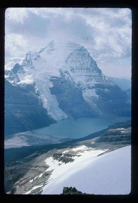
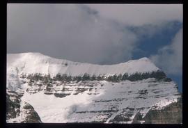
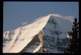
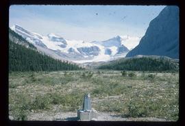
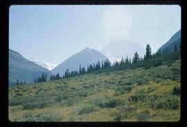
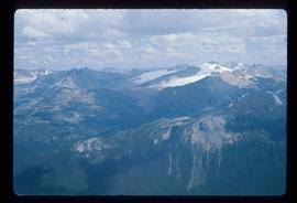
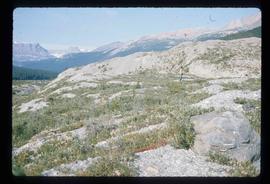
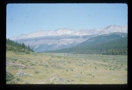
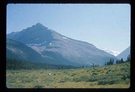
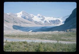
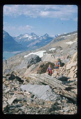
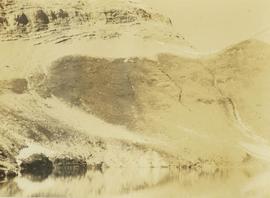
Photograph depicts a mountain ridge rising out of an alpine lake. The photograph location is the Mt. Petrie area from the north and northwest.