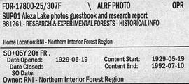
2006.18.6.02.05
·
Item
·
[1963?]
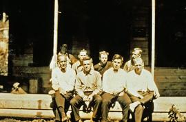
Part of Aleza Lake Research Forest Society fonds
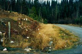
Slide depicts the original wooden BC Forest Service sign for the Aleza Lake Forest Experiment Station.