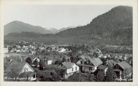
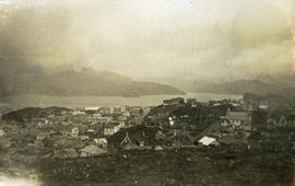
Overhead view of a residential area in Prince Rupert, BC. Printed annotation on recto reads: "Prince Rupert, BC Photo by J.W."
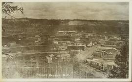
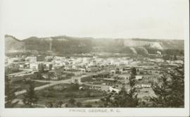
Overhead view of commercial buildings in downtown Prince George. Printed annotation on recto reads: "Prince George, B.C."
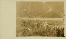
Overhead photograph of a forested area, with Stewart, BC visible in the distance.
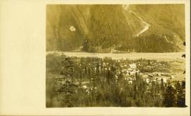
Overhead photograph of a forested area, with Stewart, BC visible in the distance.
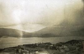
Photograph depicts a view looking down on the buildings of the city of Prince Rupert BC and beyond to the harbor and mountains in the distance.
Photograph depicts a view looking down on the buildings of the city of Prince Rupert BC and beyond to the harbor and mountains in the distance.
Handwritten caption beside this photo reads: "Damage to Cassiar Grader, result of hazardous access to site". Rocks and rubble in foreground, mountain in background. Grader appears to be sitting on edge of cliff.
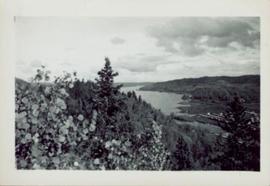
Photograph of various plant life with Eagle Lake visible in the background. Handwritten annotation in pen on verso reads: “Eagle Lake from the top of the bluff. Eagle Lake is about 7 miles long & about 1 mile wide. It is a fair sized lake.”
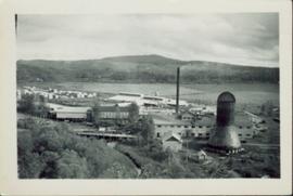
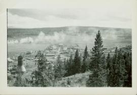
Photographic overview of the Eagle Lake Sawmill. Handwritten annotation in pen on verso reads: “The mill.”
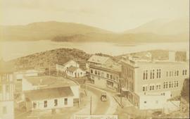
Elevated street view of Fulton Street in Prince Rupert, BC. City Hall is in the left foreground. Hills and water are visible in the background. Printed annotation on recto reads: "Prince Rupert. B.C."
Overhead photograph of Giscome with the Eagle Lake Sawmill's beehive burner clearly visible in left foreground. Handwritten annotation in pen on verso reads: “Part of our community. school * ”
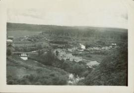
Overhead photograph of Giscome buildings with Eaglet Creek running through the foreground. Handwritten annotation in pen on verso reads: “Notice the flatness of the land. Part of our community.”
Overhead photograph of Prince George, BC ca. 1950 with hills in background. Annotation on recto reads: "Prince George, B.C."
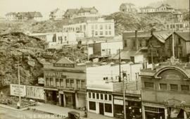
Postcard overview of several identifiable storefronts built amongst the rocky outcrops of Prince Rupert. Printed annotation on recto reads: "Prince Rupert BC."
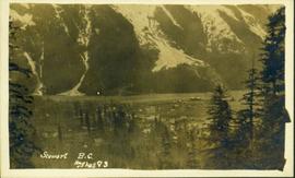
Photograph of Stewart BC taken from a distance. Trees in the foreground slightly obscure the village, and a large mountain is visible in the background. Printed annotation on recto reads: "Stewart B.C. Hughes 93."
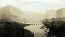
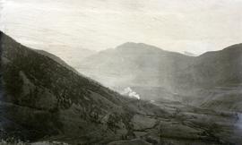
Photograph depicts a view of the Pacific Great Eastern Railway bridge across the Fraser River at Lillooet.
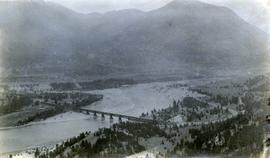
Photograph depicts a view of the Pacific Great Eastern Railway bridge across the Fraser River and the nearby Lillooet surrounding area. The photograph shows Lillooet looking up Town Creek Valley. Chinese gold washing activity is visible nearby the bridge.
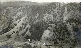
Photograph depicts the Pacific Great Eastern Railway line at Pavilion looking south. An irrigation ditch line is also visible.
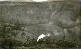
Photograph depicts a view of a train on the Pacific Great Eastern Railway line approximately 2 miles south of the Pavilion station.
This collection consists of photographs and "real photo" postcards that depict the construction and operation of the Pacific Great Eastern Railway line, communities nearby the railway line, and regional geography of areas adjacent to the PGE line.
Photograph depicts a Pacific Great Eastern Railway train on Pavilion Creek trestle at Mile 20.3. Also visible are a water tank and possibly the graveyard at Pavilion.
The ca. 1921-1927 “PGE Bridge List” from the notebook of William H. Hewlett (1914-1968) references a 389.4 foot long, 34 ft. high, framed trestle with 26 spans of 14.8 feet at Mile 20.3 carrying the line over Pavilion Creek. There was a water tank at Pavilion located between the North end of the siding and the South end of the trestle. A track profile chart confirms that the track at this point is on a 12 degree curve. This photograph was taken from a vantage point up the hill to the North. The structures at the lower left of this image (2020.08.82) are consistent with a small construction camp, which accounts for the presence of a camp cook in image 2020.08.83.
"Canadian Railway and Marine World" reported in their January 1916 issue (p. 11, c.1), that track had been laid to within ½ mile of Clinton (Mile 45.0) on Dec. 14, 1915. If a constant rate of construction had been maintained from Mile 14, reached on July 30, 1915 as previously discussed, to Clinton, the approximate date of completion to Pavilion would be around the end of August, 1915 which is probably the earliest possible date for this photograph.
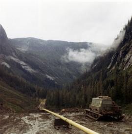
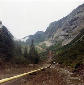
Photograph depicts pipeline construction for the Pacific Northern Gas pipeline from Summit Lake to Kitimat.
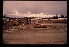
Photograph depicts a construction site for the Pacific Northern Gas pipeline from Summit Lake to Kitimat.
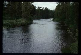
Image depicts the Pack River outlet at McLeod Lake.
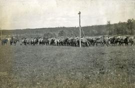
Photograph depicts twelve or more horses loaded with packs. Three or more men attending. There is a telegraph pole in the midground, treed low hills in the background. The horses are standing in a field.
Footage of a pack train in the high country, which is likely an upper valley of the mountain foothills. Probable locations of this footage include Holt homestead, Rainbow Mountains or Tweedsmuir Provincial Park.
Photograph depicts packed horses walking on the log jam. [55th parallel]
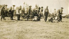
Photograph depicts eight men standing in a line, loaded with heavy backpacks. There is alpine scrub vegetation in the background.
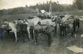
Photograph depicts a group of horses in process of being loaded with packs. Four or more men attend. There is a canvas tent, open fire and more people in the background.
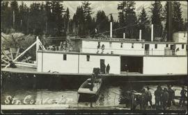
Photograph depicts four men on conveyor, and clear view of paddle wheel. A small boat is docked to the conveyor with men and equipment. Crowd of men on shore in foreground on right, trees on opposite shore in background. Mountains visible in distance. Handwritten annotation on verso of photograph reads: "Str. Conveyor".
Tree branches in right foreground, and forest above banks on opposite shore in background.
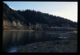
Image depicts the Fraser River at Paddlewheel park, with a train on the other side of the river, in Prince George B.C.
Image depicts the Fraser River at Paddlewheel park, with a train on the other side of the river, in Prince George B.C.
File consists of notes and typescript letters relating to Paddlewheel Park in Prince George. Includes: "Name change from Glenora Park to Paddlewheel Park" typescript letter from Heritage Committee to the Mayor and Council (12 Sept. 1988) and "South Fort George Community Association" typescript letter from Glenn Jaye to Graham Farstad (1 June 1988).
Photograph depicts rows of palm trees shadowing the Pacific Park Motel with a mountain range in the background.
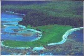
Handwritten annotations on verso read: “Lawn Pool, Memorial, West Coast, VI, Summer ’06,” and “Sept. 15, 2006”.
An 'X' is marked in ink on forest in centre.
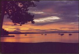
Handwritten annotation on verso reads: “Sunset at North Cove Thetis Island Adam Hunter”.
The photographs depict the geographic areas of Stewart, BC, Boundary Pass, Nelson River, Bitter Creek Glacier, Portland Canal, Red Cliff and Bear Creek; as well as the ships “Camosun” and “S.S. Prince George.” Types of subjects identified in this collection include: community life, surveying, mining and transportation (i.e. dog-sledding, horse and buggy, and the Portland Canal Short Line Railway “P.C.S.L. Rlwy”).
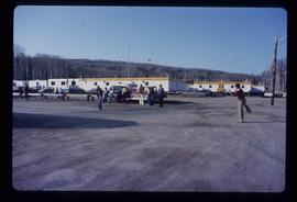
Image depicts a group of people throwing a frisbee in a parking lot at an uncertain location, likely in the Peace River Region.
Subseries consists of material collected and created by Kent Sedgwick for research regarding parks and outdoor recreation in Prince George. Material on parks includes Fort George Park (renamed to Lheidli T’enneh Memorial Park in 2015); Cottonwood Island Park; Connaught Hill; Moore's Meadow; L.C. Gunn Park; the Nechako Cutbanks; Paddlewheel Park; Monkman Provincial Park; Fraser Canyon Park; and Carp Lake. Also includes information on the creation of plaques and monuments, including the Alexander Mackenzie monument; the “Arrival of Steel” CN railway plaque; heritage interpretative signs for the Grand Trunk Pacific Railway; the Millar addition; and flooding and rivers. The files consists of various pamphlets and correspondence regarding the development of parks and the creation of interpretive materials.
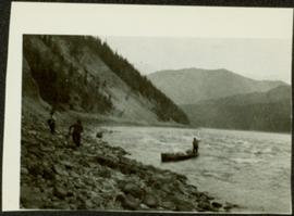
Photograph depicts a man standing in a loaded canoe floating close to shore. Two men stand on rocky shore in left foreground. Tall hills in background, river rapids behind canoe in midground. Handwritten annotation on recto of photograph: "Parle Pas Rapids Peace River."
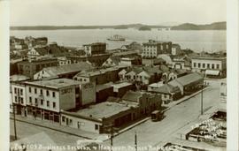
Overhead view of a block of business and harbour buildings in Prince Rupert BC. The "Savoy Hotel" is visible in the foreground. Printed annotation on recto reads: "Part of Business Section & Harbour. Prince Rupert B.C. F. Button Photo Pr. Rupert No. 494."
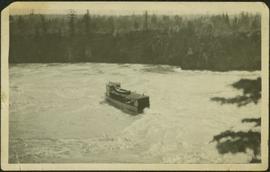
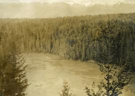
Photograph depicts a bird's eye view of a large river, forest and mountains in the background. On the river's edge there is a scow with several persons standing on it.
Image depicts several eighteen wheelers at the Pass Lake Road and Upper Fraser Road intersection with numerous houses and buildings in the background in McGregor, B.C. Map coordinates 54°04'38.1"N 121°50'00.1"W
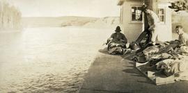
Photograph depicts three or more passengers with sleeping/bed rolls on the deck of the S.S. Nechako sternwheeler. There is a river, riverbanks and low hills in the background.
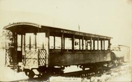
Photograph of man on the back of a passenger car attached to a steam engine. Printed annotation on recto is obscured by emulsion damage and reads: "[illegible] Atlin, B.C."
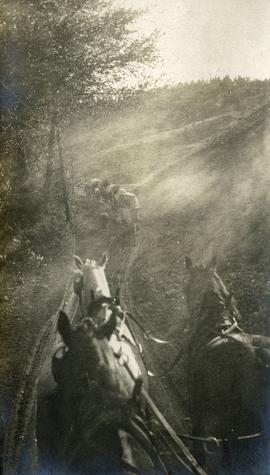
Photograph depicts view from atop a stage coach, a team of horses pulling a stage coach approaching.
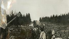
Photograph depicts two freighting stages passing. View is from atop one of the stages.
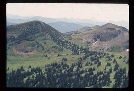
Image depicts a view of a valley; the slide itself labels the image in two places, "central basin" on the left side of the image, and "Pat's Pass" on the top of the image between the two mountains.
