2009.5.2.305
·
Item
·
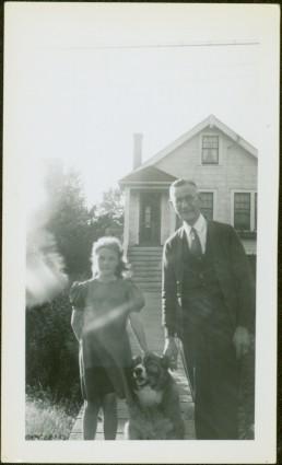
[ca. 1950]
Part of Taylor-Baxter Family Photograph Collection
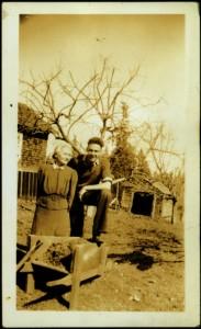
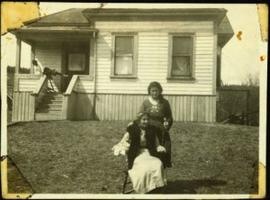
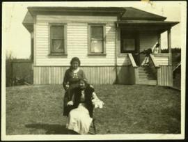
Dog sits between Glassey and young girl on wood sidewalk, house an bushes in background.