2023.2.2.12.7.53
·
Item
·
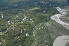
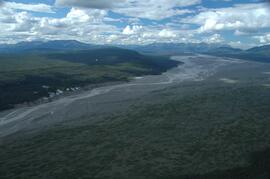
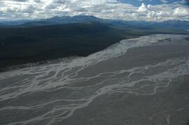
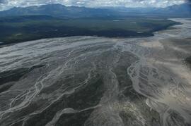
9 Aug. 2008
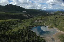
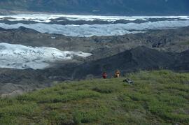
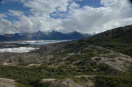
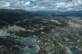
Part of Dr. Paul Sanborn fonds