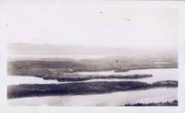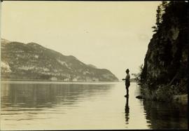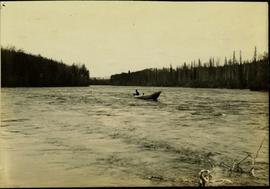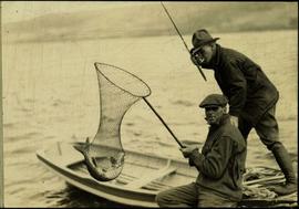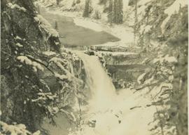
2000.19.1.48
·
Stuk
·
20 Sept. 1926-19 Oct. 1926
Part of Prentiss Gray Collection
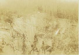
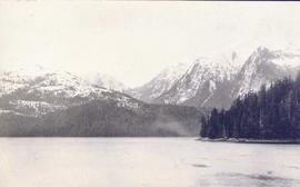
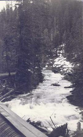
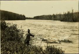
Photograph depicts a river leading into a waterfall amidst snow-covered trees.