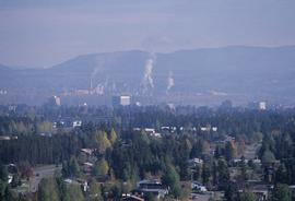
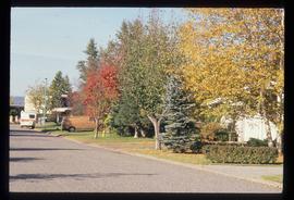
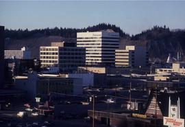
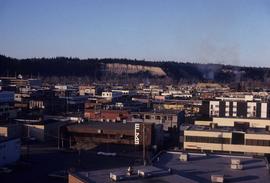
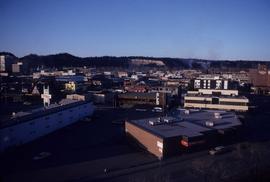
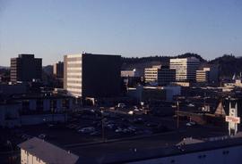
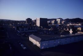
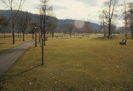
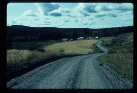
Image depicts a view of Prince George.
Image depicts the Lakeland Sawmill in Prince George, B.C, identified by the beehive burners; the one with white smoke belonged to Pas Lumber Co. which was bought out by Lakeland in 1987.
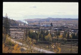
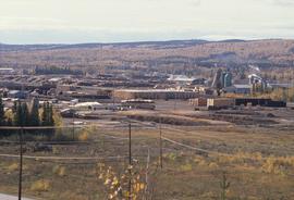
Image depicts the Lakeland Sawmill in Prince George, B.C.
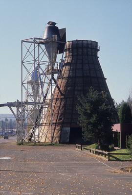
Image depicts a Beehive Burner along the Nechako on River Road. Map coordinates 53°55'34.1"N 122°44'58.0"W.
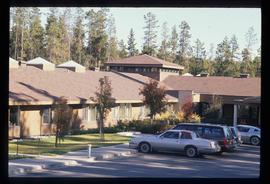
Image depicts Parkside Intermediate Care Home on Ospika Boulevard in Prince George. Map coordinates 53°55'02.6"N 122°47'41.6"W
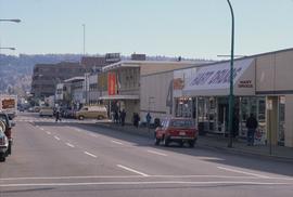
Image depicts 4th Ave at Brunswick St. and the following businesses: Hart Drugs, The Yarn Barn, and Saveco. Map coordinates 53°54'59.9"N 122°44'52.9"W
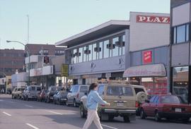
Image depicts 4th Ave at Quebec St, showing the following businesses: The Yarn Barn, Golden Chalice Jewellers, Dandy Lines, Ultrasport, and Saveco. Map coordinates 53°54'58.6"N 122°44'47.5"W
Image depicts the Northwood pulpmill in Prince George B.C.
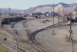
Image depicts a number of trains in the CNR train yard taken from River Road in Prince George, B.C. Map coordinates 53°54'51.5"N 122°43'29.6"W
Image depicts a view of Blackburn Schools, possibly taken from Tabor Mountain.
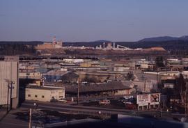
Image depicts Prince George, possibly with the Northwood Pulpmill in the background.
Image depicts the Nechako Subdivision in Prince George, B.C.
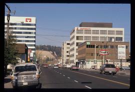
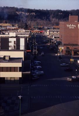
Image depicts downtown Prince George, B.C.
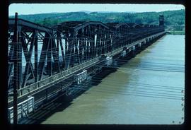
Image depicts a bridge in Prince George, B.C.
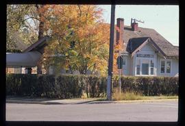
Image depicts a house on the corner of 7th Ave and Vancouver Street in Prince George, B.C.
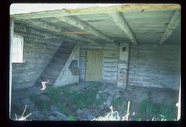
Image depicts the interior of an abandoned, deteriorating cabin on Blackwater Road.
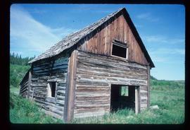
Image depicts an abandoned, deteriorating cabin on Blackwater Road.
Image depicts an abandoned cabin and shed on Blackwater Road.
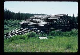
Image depicts a shed on Blackwater Road.
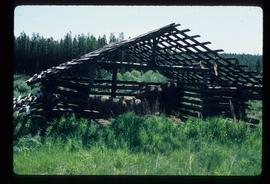
Image depicts a shed on Blackwater Road.
Image depicts a bridge in Prince George, B.C.
File contains slides depicting the opening of the Cottonwood Park section of the Heritage River Trails in Prince George, B.C.
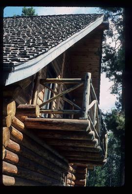
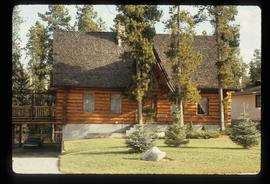
Image depicts the balcony of a log house, likely somewhere in or near Prince George B.C.
Image depicts a the Cottonwood Island Nature Park sign and map in Prince George, B.C.
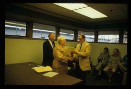
Image depicts a man and woman shaking hands in a building at an uncertain location, possibly in Cottonwood Park. The man standing behind the two is possibly Elmer Mercier, a former mayor of Prince George, B.C.
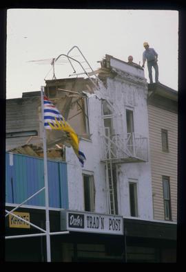
Image depicts the demolition of the Europe Hotel in Prince George, B.C.
Image depicts a the Cottonwood Island Nature Park sign and map in Prince George, B.C.
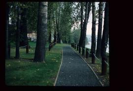
Image depicts a section of the Heritage Trail on Cottonwood Island in Prince George, B.C.
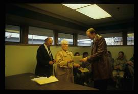
Image depicts a woman holding a sheet of paper in a room with numerous other unidentified individuals. The man standing behind her is possibly Elmer Mercier, a former Mayor of Prince George, B.C.
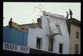
Image depicts the demolition of the Europe Hotel in Prince George, B.C.
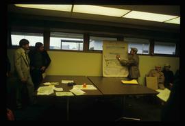
Image depicts a man holding up a board which appears to have maps of the Cottonwood Park on it.
Image depicts downtown Prince George looking northwest. Map coordinates 53°54'48.7"N 122°44'45.6"W
Image depicts a view of Prince George from City Hall looking northeast along George Street. Map coordinates 53°54'46.3"N 122°44'41.9"W
Image depicts downtown Prince George taken from City Hall looking north. Map coordinates 53°54'46.2"N 122°44'43.9"W
Image depicts a view of Prince George from City Hall looking northeast with the pulp mills in the background. Map coordinates 53°54'46.3"N 122°44'41.9"W
Image depicts downtown Prince George taken from City Hall looking north. Map coordinates 53°54'46.2"N 122°44'43.9"W
Image depicts downtown Prince George taken from City Hall looking northwest. Map coordinates 53°54'46.2"N 122°44'43.9"W
Image depicts downtown Prince George taken from City Hall looking northwest. Map coordinates 53°54'46.2"N 122°44'43.9"W
Image depicts the Fort George Park. Map coordinates 53°54'30.2"N 122°43'57.4"W
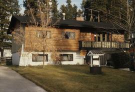
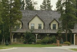
Image depicts a Bavarian style house at College Heights in Prince George, B.C.
Image depicts a log house located somewhere on Kerry Street in Prince George, B.C.
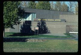
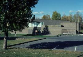
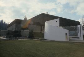
Image depicts the Fort George Regional Museum in Prince George, B.C.
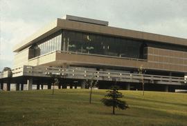
Image depicts the Prince George Public Library (Bob Harkins Branch). Map coordinates 53°54'43.1"N 122°44'56.4"W
Image depicts the Fort George Regional Museum (now known as The Exploration Place) in Prince George, B.C. Map coordinates 53°54'18.6"N 122°44'09.8"W
Image depicts the Four Seasons Leisure Pool, and the Centennial Fountain in Prince George, B.C. Map coordinates 53°54'48.5"N 122°44'49.2"W
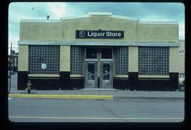
Image depicts the BC Liquor Store in Prince George, B.C.
Image depicts a Cariboo Ranch style house at College Heights in Prince George, B.C.
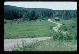
Image depicts a house on Blackwater Road.
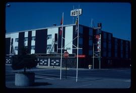
Image depicts the Prince George Hotel.
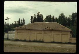
Image depicts a powerhouse in Prince George, B.C.
