2013.6.36.1.002.070
·
Pièce
·
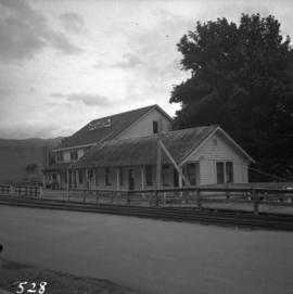
Oct. 1965
Fait partie de David Davies Railway Collection
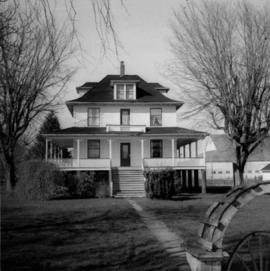
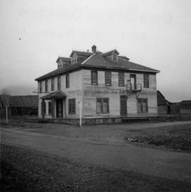
Photograph depicts the Windsor Hotel at Fort Steele, 10 miles northeast of Cranbrook. It was built in 1895 by Robert D. Mather and originally was called Dalgarno House. It is being renovated as a village museum.