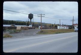
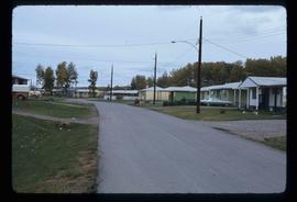
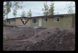
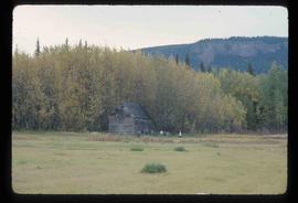
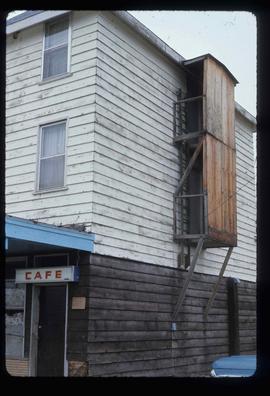
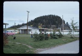
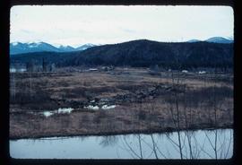
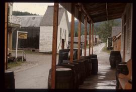
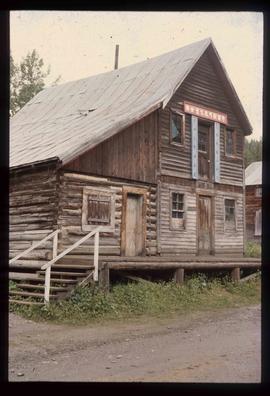
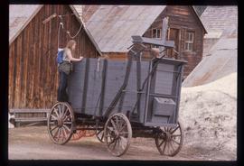
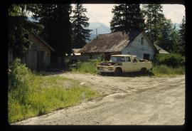
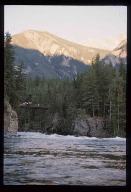
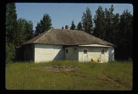
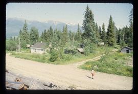
Mostrar 2506 resultados

Archival description
1595 resultados com objetos digitais Mostrar resultados com objetos digitais
Loos
2012.13.1.86.09 · Item · 1975
Parte de J. Kent Sedgwick fonds

Image depicts several buildings in the community of Loos, B.C.

Highway 97
2012.13.1.3.021 · Item · Oct. 1975
Parte de J. Kent Sedgwick fonds

Image depicts Highway 97 at 15th Ave. looking north. Map coordinates 53°54'36.0"N 122°46'55.5"W

Sprawl
2012.13.1.3.026 · Item · Oct. 1975
Parte de J. Kent Sedgwick fonds

Image depicts a few houses, most likely near the airport in Prince George, B.C.

Pipeline
2012.13.1.3.033 · Item · Nov. 1975
Parte de J. Kent Sedgwick fonds

Image depicts a pipeline at Shelley, B.C.

Intercontinental and P.G. Pulp Mills
2012.13.1.5.01 · Item · Oct. 1975
Parte de J. Kent Sedgwick fonds

Image depicts two mills; the Intercontinental Pulpmill is on the left side of the tracks in the image and the Prince George Pulp and Paper Mill is located on the right side in Prince George, B.C. The Northwood Pulp Mill can be seen in the distance.

Train with Logs
2012.13.1.122.08 · Item · Oct. 1975
Parte de J. Kent Sedgwick fonds

Image depicts a train carrying logs somewhere in Prince George, B.c.

Endako
2012.13.1.51.086 · Item · Oct. 1975
Parte de J. Kent Sedgwick fonds

Image depicts a train passing through Endako, B.C.

Highway 97
2012.13.1.3.022 · Item · Oct. 1975
Parte de J. Kent Sedgwick fonds

Image depicts Highway 97 at 15th Ave. looking north. Map coordinates 53°54'42.1"N 122°46'53.1"W

Trailers for Sale
2012.13.1.3.027 · Item · Oct. 1975
Parte de J. Kent Sedgwick fonds

Image depicts mobile homes for sale on Cowart Road looking northeast with Simon Fraser Bridge in background. Map coordinates 53°52'39.3"N 122°46'13.1"W

Woodwards
2012.13.1.3.029 · Item · Oct. 1975
Parte de J. Kent Sedgwick fonds

Image depicts Parkwood Place taken from Connaught Hill looking west with the hospital in the background. Map coordinates 53°54'39.9"N 122°45'02.5"W

Strathnaver - BCR
2012.13.1.50.023 · Item · 1975
Parte de J. Kent Sedgwick fonds

Image depicts the BCR, as well as the Dunkley Lumber Mill, in Strathnaver, B.C.

Sawmill - Wood Planks
2012.13.1.122.10 · Item · Oct. 1975
Parte de J. Kent Sedgwick fonds

Image depicts numerous blocks of wood planks at a saw mill, possibly Lakeland Mills, somewhere in Prince George, B.C.

Start of Birchleg
2012.13.1.129.04 · Item · 1975
Parte de J. Kent Sedgwick fonds

Image depicts a long line of people cross country skiing along the Birchleg route on Tabor Mountain in Prince George, B.C.

Troll Lake Cabin
2012.13.1.129.12 · Item · 1975
Parte de J. Kent Sedgwick fonds

Image depicts numerous skiers at the cabin located at Troll Lake on Tabor Mountain in Prince George, B.C.

Chilcotin Wildlife Management Area Sign
2012.13.1.65.07 · Item · May 1975
Parte de J. Kent Sedgwick fonds

Image depicts a sign titled "Chilcotin Wildlife Management Area" somewhere near Riske Creek, B.C. It reads: "This trail has been provided by the Fish and Wildlife Branch in co-operation with Riske Creek Ranching Ltd., as access to the Chilcotin Wildlife Management Area. Please do not leave the the trail as the surrounding land is private property."

Kispiox - Totem Pole
2012.13.1.51.098 · Item · Aug. 1976
Parte de J. Kent Sedgwick fonds

Image depicts a totem pole beside the grave marker of the Chief Lu-dal-da-zuatz, in Kispiox, B.C.