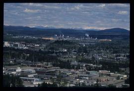
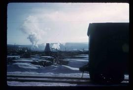
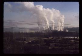
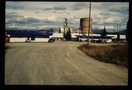
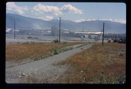
Image depicts Prince George from University Way, with the P.G.I. Pulp Mill in the distance.
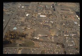
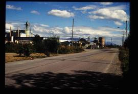
Image depicts the Carter Industrial Area in Prince George, B.C.
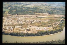
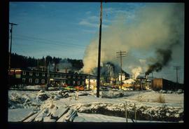
Image depicts a the Danson Industrial Park in Prince George, B.C.
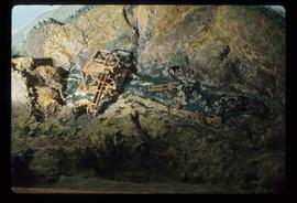
Image depicts a small model of the old prospecting process in what is likely Barkerville, B.C.
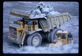
Image depicts an 80 tonne truck full of rocks at the Gibraltar mine site north of Williams Lake, B.C.
Image depicts a view of the Dunkley Lumber Mill in Strathnaver, B.C.
Image depicts the BCR, as well as the Dunkley Lumber Mill, in Strathnaver, B.C.
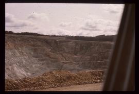
Image depicts an open mining pit at an uncertain location; it is possibly Gibraltar.
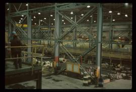
Image depicts the interior of the Gibraltar chemical mill, where they separate the molybdenum.
Image depicts a sawmill somewhere in Quesnel, B.C.
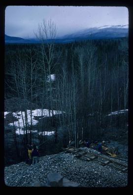
Image depicts a group of people at a mine somewhere near Hazelton, B.C.
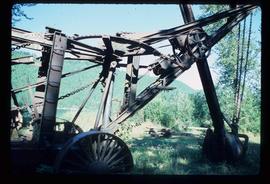
Image depicts a large, old piece of machinery, possibly some form of mining or prospecting equipment; it is located in Quesnelle Forks, B.C.
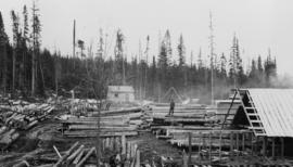
Photograph depicts a man standing on a pile of logs in the Peden Hill sawmill yard, after the mill was rebuilt after the first mill burnt down in 1941. The first mill was operated by steam; the second mill was powered by a diesel-powered motor.
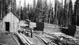
Photograph depicts a male worker standing amid stacks of lumber in a lumber yard at Peden Hill sawmill.
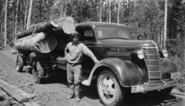
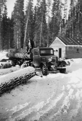
Photograph depicts Cornel Neronovitch standing by a 'Maple Leaf' Chevrolet truck near the Peden Hill sawmill. Raw logs are stacked and chained on the truck.
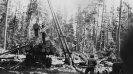
Photograph depicts two men using a gin pole, winch and jammer to load raw logs onto a logging truck, likely near Peden Hill sawmill.
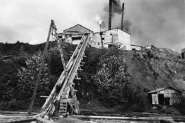
Photograph depicts a log jack-ladder up to Nash Sawmill, co-owned by Cornel Neronovitch and Fred Tesluk. This sawmill was steam powered and burnt down in 1941. The sawmill was located on a back-channel of the Fraser River.
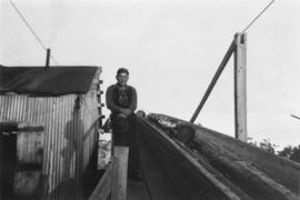
Photograph depicts a young man sitting at the top of an active sawmill jackladder at Peden Hill sawmill.
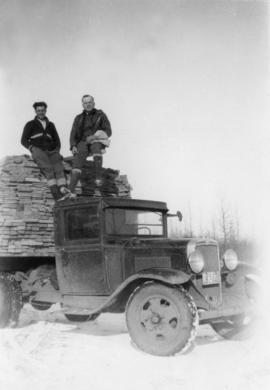
Photograph depicts two men perched on top of a freight truck carrying a load of timber at Peden Hill sawmill.
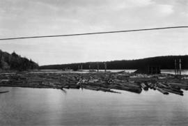
Photograph depicts a log boom in the Fraser River. These logs were waiting to go into jackladder and down the log chute into the Fraser River backchannel at Peden Hill sawmill.
Photograph depicts a man sitting on a truck that is transporting logs at Peden Hill Sawmill.
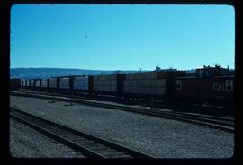
Image depicts a train transporting wood planks, possibly in Prince George, B.C.
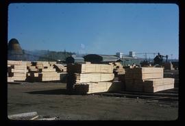
Image depicts numerous blocks of wood planks at a saw mill, possibly Lakeland Mills, somewhere in Prince George, B.C.
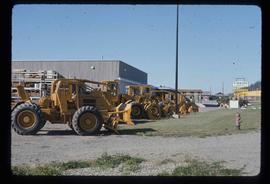
Image depicts numerous tractors at Finning Tractor and Equipment Co. Ltd. located along Highway 97 in Prince George, B.C.
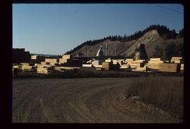
Image depicts numerous piles of wood planks at the Canadian National Railway Yards in Prince George, B.C. The cutbanks are seen in the background.
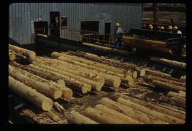
Image depicts numerous stripped logs and several unidentified individuals in hard hats at a saw mill somewhere in Prince George, B.C.
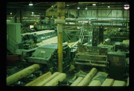
Image depicts logs being cut into planks in the interior of a saw mill somewhere in Prince George, B.C.
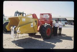
Image depicts two unidentified individuals examining a tractor meant to delimb trees. It is located in Prince George, B.C.
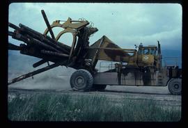
Image depicts a piece of heavy machinery lifting numerous logs. It is likely located in Prince George, B.C.
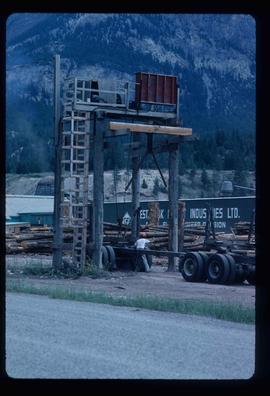
Image depicts a man attaching a logging trailer to a crane on a wooden structure to stack the trailer on the truck. A Crestbrook Forest Industries sawmill is located in the background.
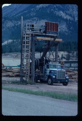
Image depicts a logging truck with its trailer being attached on top of it. A Crestbrook Forest Industries sawmill is located in the background.
Image depicts what appears to be a small mill in the community of Crescent Spur, B.C.
Image depicts the entrance to the Upper Fraser mill yard in Upper Fraser, B.C. Map coordinates 54°07'10.8"N 121°56'51.7"W
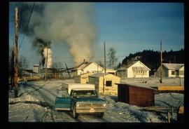
Image depicts the Upper Fraser Road running through Upper Fraser, B.C. A newer style round burner is seen in the background. Map coordinates 54°07'05.7"N 121°56'38.9"W
Image depicts the Giscome mill site in Giscome, B.C. The bunkhouse is the large building with many windows. A train and railroad tracks are in the foreground. Map coordinates 54°04'17.6"N 122°22'06.1"W
Image depicts the remains of a street of houses in Giscome, B.C. The quarry is slightly visible in the background. Map coordinates 54°04'20.9"N 122°21'53.1"W
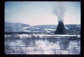
Image depicts numerous buildings at an uncertain location. A beehive burner and what appears to be a large pile of wood is visible in the background.
Image depicts several houses and the Giscome saw mill in Giscome, B.C. in the background. Map coordinates 54°04'20.9"N 122°21'53.1"W
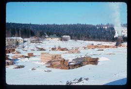
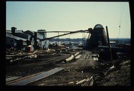
Image depicts the mill site at Giscome and its beehive burner. Map coordinates 54°04'19.7"N 122°22'04.7"W
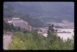
Image depicts the Britannia Mine, which closed in 1974 and is now a museum. "Anaconda" was the last operating owner.
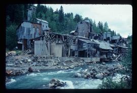
Image depicts what is possibly an old, rundown mill in Bralorne, B.C.
Image depicts the Alcan smelter in Kitimat, B.C.
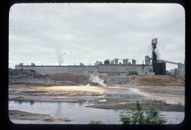
Image depicts a pulp mill in Port Edward, B.C.
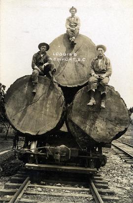
Photograph depicts three men sitting on large logs on a logging truck. The men are believed to be, from left to right: unknown, Al Lassmann, Jack Phelps.
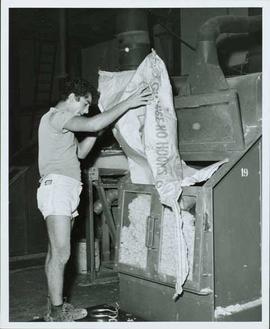
Operator loading Asbestos into feeder at Welshpool Asbestos Mill in Australia.
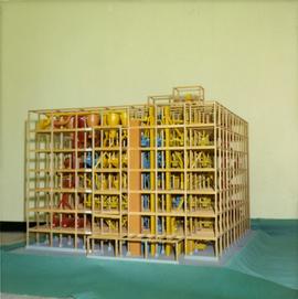
Photograph depicts large square model of the new mill building that was built at the Cassiar plant site in 1970. Model is displayed on green material laid on floor against wall in unidentified room. Machinery modeled inside the structure is colour-coded.
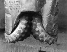
File contains photographs depicting close view of drill bits used in the Cassiar mine. The photos were taken for documentary purposes during an evaluation procedure in which the bits were tested and compared. 32 of the photos are adhered to three reports containing detailed analysis of the condition and function of the drill bits used. Reports were addressed to "E. Komperdo / Assist. Mine Superintendent, Production," and were sent by "Bob Clark / Industrial Engineer" and "E. Isaaks / Engineer Trainee." All of the photos are heavily annotated on verso and recto, often documenting the date, bit number, drilling depth, and notes on general condition.
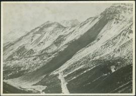
Photograph depicts large swath of dark waste down mountainside to right of valley. The waste dump is believed to be visible at top of swath on right of image. Bench mining visible on the North and South peak in background. Handwritten annotation on recto of photograph: "Oct. 25 / 65 4:25 PM."
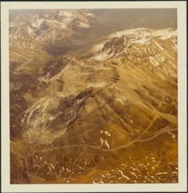
Photograph depicts the Cassiar mine, switchback road in foreground, mountain range in background. Pit is visible behind the West peak. The new mine garage can be seen on West peak just above "#7 switchback" in centre of image.
Photograph depicts cable-operated shovel loading Kenworth haul truck on road in mine area at high elevation. Pickup truck in background, four unidentified men are gathered around second Kenworth truck in foreground. Valley and mountain range in distance.
