2007.1.45.12
·
Dossiê/Processo
·
1998
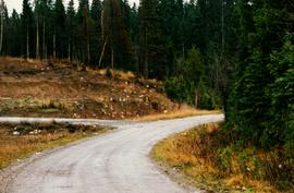
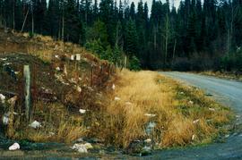
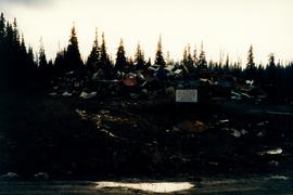
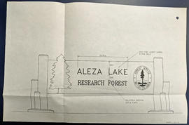
Parte de Aleza Lake Research Forest fonds
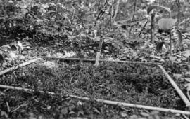
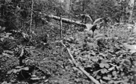
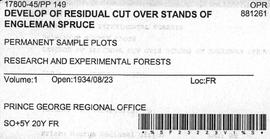
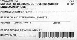
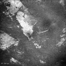
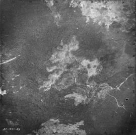
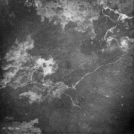
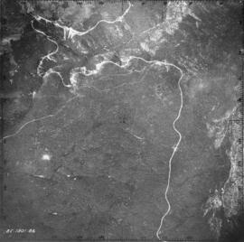
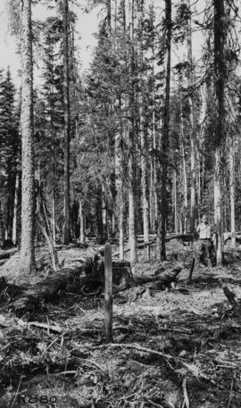
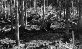
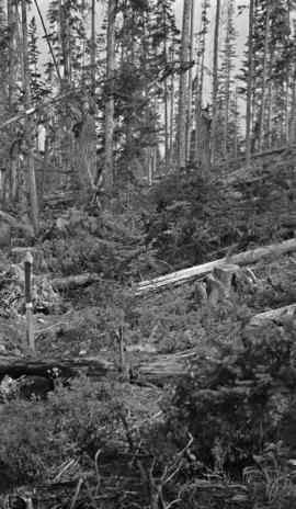
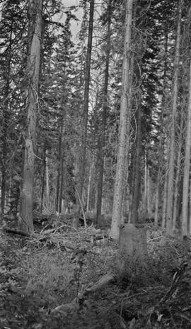
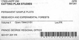
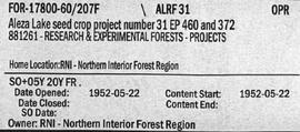
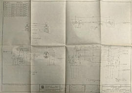
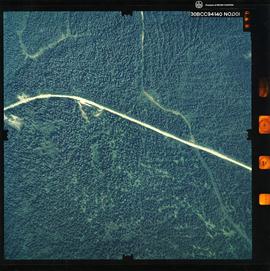
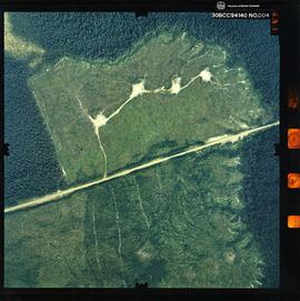
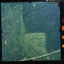
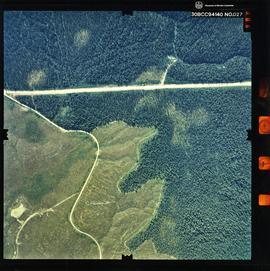
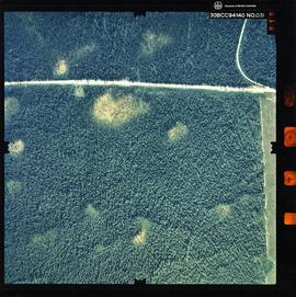
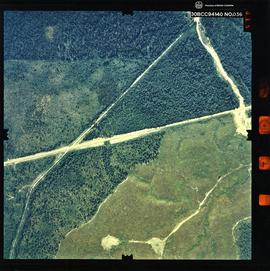
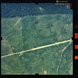
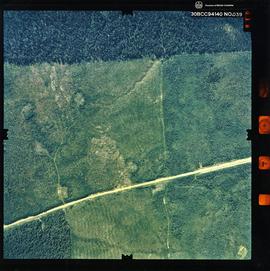
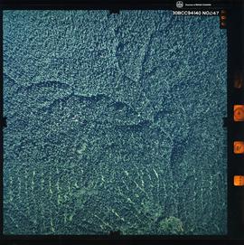
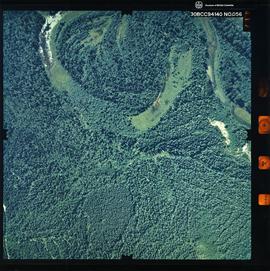
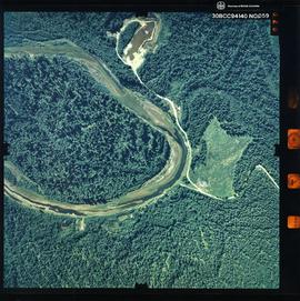
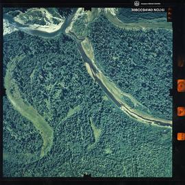
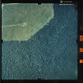
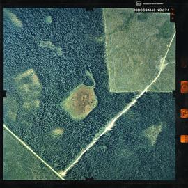
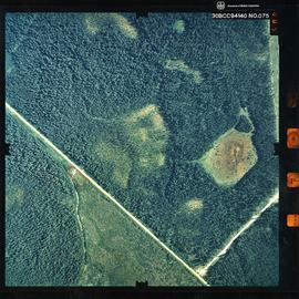
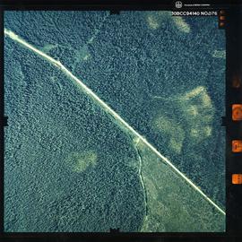
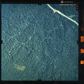
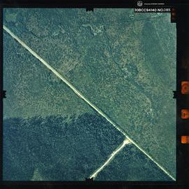
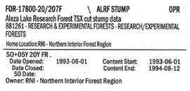
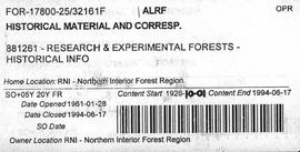
File contains information, including diagrams, measurement charts, and a map, for experimental plot 107.