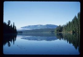
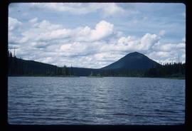
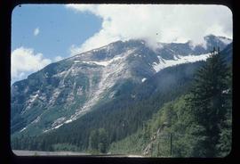
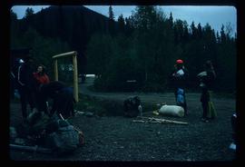
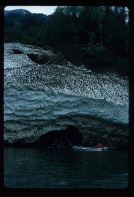
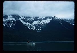
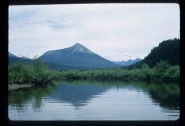
Showing 4395 results

Archival description
3024 results with digital objects Show results with digital objects
Wells
2012.13.1.037 · Subseries · [between 1970 and 1980]
Part of J. Kent Sedgwick fonds

File contains slides depicting Wells, B.C.

South Fort George
2012.13.3.1.50 · File · 1970-2005
Part of J. Kent Sedgwick fonds

File consists of notes, clippings, and reproductions relating to South Fort George. Includes: "South Fort George - A trip to the past" heritage brochure produced by South Fort George Community Association (1987) and "B.C. Express Co. Heritage Site" typed document prepared by the Heritage Advisory Committee (Feb. 1994). Also includes photographs depicting various buildings from old South Fort George.

2012.13.1.121.07 · Item · July 1970
Part of J. Kent Sedgwick fonds

Image depicts an atmometer. According to the slide, it is being used for measuring the rate of water evaporation "from carborundum stone." The location is uncertain.

Intrusion
2012.13.1.124.01 · Item · 1970
Part of J. Kent Sedgwick fonds

Image depicts what is possibly an intrusive volcanic landform somewhere near Miworth, B.C.

Transportation
2012.13.2.15 · Subseries · 1970-2010
Part of J. Kent Sedgwick fonds

Subseries consists of material collected and created by Kent Sedgwick for research regarding transportation. Includes notes and research on airplanes, specifically Prince George aviation and the Junkers aircraft named "The City of Prince George"; highway transportation; the Grand Trunk Pacific Railway; ferry boat service including the Fraser River Fort George ferry, the Isle Pierre ferry, and the Miworth ferry; the Pacific Great Eastern Railway line; the British Columbia Railway; and the Canadian National Railway. Also includes essays and typed documents on railway history in Prince George.

Ferries in Prince George
2012.13.2.15.09 · File · [197-], 2005
Part of J. Kent Sedgwick fonds

File consists of notes, clippings, and reproductions relating to ferry boat service in and around Prince George. Includes material regarding the Fraser River Fort George ferry; the Isle Pierre ferry; and the Miworth ferry. File also includes photographs depicting a building at Isle Pierre in the 1970s and the ferry crossing at Isle Pierre in 2005.

Isle Pierre
2012.13.2.15.09.1 · Item · [197-]
Part of J. Kent Sedgwick fonds

The item is a photograph depicting a two story abandoned wooden building. Annotation on reverse side of photograph states, "Isle Pierre 1970s."

McBride - Yellowhead
2012.13.1.085 · Subseries · [between 1970 and 2004]
Part of J. Kent Sedgwick fonds

File contains slides depicting places in and between McBride and the Yellowhead Pass via the Yellowhead Highway.

Prominent Figures
2012.13.2.10 · Subseries · 1970-2010
Part of J. Kent Sedgwick fonds

Subseries consists of materials collected and created by Kent Sedgwick for research on prominent individuals within Prince George and northern/central British Columbia. These individuals include various photographers, John Warren Meyer, Fannie Kinney, Father Adrien Morice, Henry Spencer Palmer, and Bridget Moran. The files also contain various other obituaries and materials regarding prominent individuals in Prince George.

Parks and Outdoor Recreation
2012.13.2.14 · Subseries · 1970-2011
Part of J. Kent Sedgwick fonds

Subseries consists of material collected and created by Kent Sedgwick for research regarding parks and outdoor recreation in Prince George. Material on parks includes Fort George Park (renamed to Lheidli T’enneh Memorial Park in 2015); Cottonwood Island Park; Connaught Hill; Moore's Meadow; L.C. Gunn Park; the Nechako Cutbanks; Paddlewheel Park; Monkman Provincial Park; Fraser Canyon Park; and Carp Lake. Also includes information on the creation of plaques and monuments, including the Alexander Mackenzie monument; the “Arrival of Steel” CN railway plaque; heritage interpretative signs for the Grand Trunk Pacific Railway; the Millar addition; and flooding and rivers. The files consists of various pamphlets and correspondence regarding the development of parks and the creation of interpretive materials.

Slopes
2012.13.1.129.02 · Item · 1971
Part of J. Kent Sedgwick fonds

Image depicts the slopes of Tabor Mountain in Prince George, B.C.

Lillooet Area
2012.13.1.053 · Subseries · [between 1971 and 1982]
Part of J. Kent Sedgwick fonds

File contains slides depicting places in the Lillooet area.

Slough
2012.13.1.55.37 · Item · 1971
Part of J. Kent Sedgwick fonds

Image depicts a slough area while on approach to Bowron Lake.

Lanezi Lake - Cirque
2012.13.1.55.25 · Item · 1971
Part of J. Kent Sedgwick fonds

Image depicts a cirque in the mountains surrounding Lanezi Lake. Two individuals can also be seen canoeing on the lake.