2012.13.1.89.176
·
Pièce
·
2001
Fait partie de J. Kent Sedgwick fonds
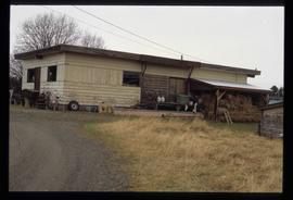
Image depicts a cookhouse at an uncertain location.