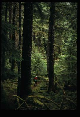
Image depicts an individual walking on a path through a forest somewhere on Haida Gwaii.
Image depicts Kent Sedgwick standing on the other side of a log bridge in a forest somewhere on Haida Gwaii.
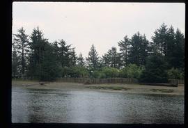
Image depicts a fence and power lines near the shore on Haida Gwaii. It is possibly a small community such as Masset.
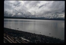
Image depicts a view of the coast of Haida Gwaii.
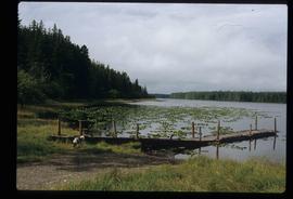
Image depicts a lake with lily pads somewhere on Haida Gwaii.
Image depicts an individual sitting on a dock on a lake somewhere on Haida Gwaii.
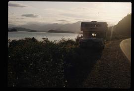
Image depicts a vehicled parked on the side of the road, with a view of the coast of Haida Gwaii in the background.
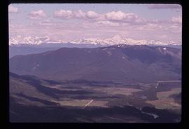
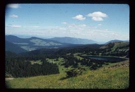
Image depicts a view of Tumuch Lake Valley, south-east of Raven Peak.
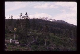
Image depicts the start of the Raven trail, with the view angled towards Raven Peak in the distance.
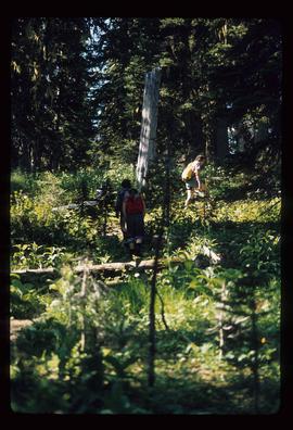
Image depicts several individuals walking the Raven trail.
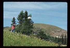
Image depicts a woman standing in a field, with a sign in a tree behind her pointing the way towards the Raven Cabin.
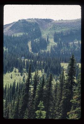
Image depicts a small grey building, possibly Raven Cabin, sitting at the foot of a ridge.
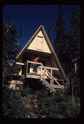
Image depicts a woman standing on the porch of a hut located by Raven Lake.
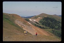
Image depicts several individuals hiking in the area surrounding Raven Lake.
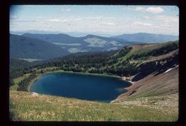
Image depicts a view of Raven Lake.
Image depicts a view of Raven Lake and the surrounding area.
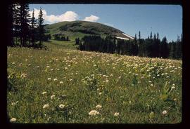
Image depicts a small section of the area surrounding Raven Lake.
File contains slides depicting Sechelt, B.C.
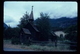
Image depicts an old, abandoned church located somewhere in Seton Portage, B.C.
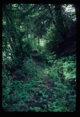
Image depicts a trail through the forest somewhere in or near Seton Portage, B.C.
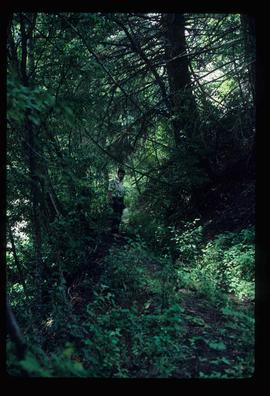
Image depicts an individual, possibly Kent Sedgwick, standing on a trail through a forest somewhere in or around Seton Portage, B.C.
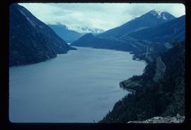
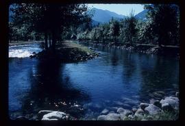
Image depicts a view of Anderson Lake near Seton Portage, B.C.
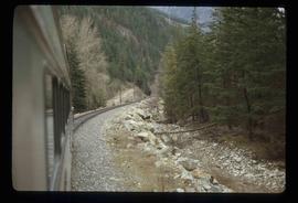
Image depicts the side of a train and the tracks it is on, somewhere in the Seton Portage area.
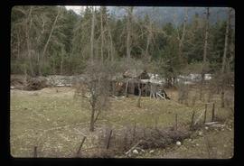
Image depicts a collapsing shack somewhere in the Seton Portage area.
Image depicts water flowing through an irrigation channel in an orchard, somewhere in or near Seton Portage, B.C.
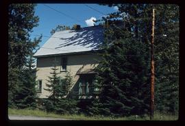
Image depicts the Robert Stewart house, built in 1910 and inhabited by the Stewart family until 1945. It is located in Stewart, B.C.
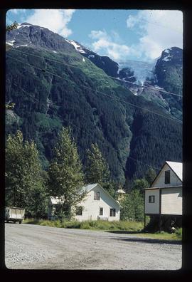
Image depicts several houses in Stewart, B.C. A section of Mt. Shorty Stevenson is visible in the background.
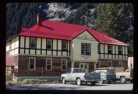
Image depicts the Provincial Government Building located in Stewart, B.C.
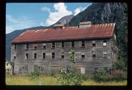
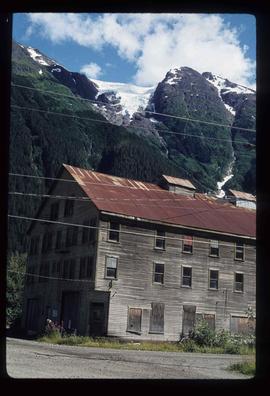
Image depicts an old, boarded up hotel in Stewart, B.C.
Image depicts an old, boarded up hotel in Stewart, B.C.
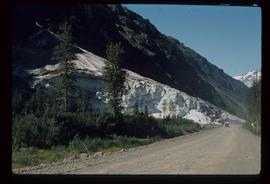
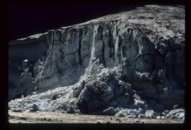
Image depicts a glacier on the side of a road at an uncertain location; the slide labels it as "avalanche glac."
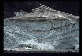
Image depicts a glacier at an uncertain location; the slide labels it as "avalanche glac."
Image depicts a glacier at an uncertain location; the slide is labelled "after two days," and shows how much it has melted.
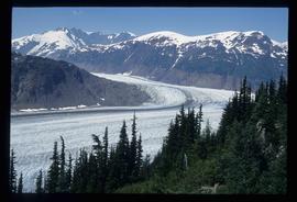
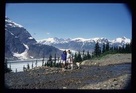
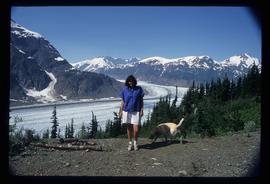
Image depicts Bear Glacier in the foreground and numerous mountain peaks in the background in Bear Glacier Provincial Park.
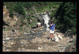
Image depicts two individuals and three dogs standing by a stream at an uncertain location, possibly somewhere in Bear Glacier Provincial Park. The woman in purple is possibly Sue Sedgwick.
Image depicts Sue and Kent Sedgwick with two dogs, standing with the Bear Glacier in the background.
Image depicts Sue Sedgwick with a dog, standing with the Bear Glacier in the background.
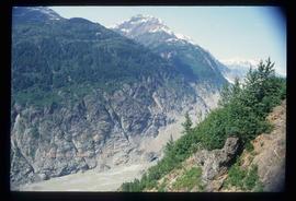
Image depicts numerous mountains surrounding the Bear Glacier.
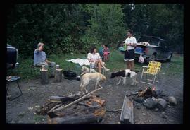
Image depicts Sue Sedgwick seated in a lawn chair near a campfire and several other unidentified individuals, as well as three dogs. The location is uncertain.
This fonds consists of material created and collected by Kent Sedgwick, author, professor, Prince George urban planner, and prominent local historian. This body of records documents Sedgwick’s research interests in the history and geography of the Central Interior of British Columbia. The fonds also reflects his work as a Prince George Senior City Planner, his involvement in local community organizations, and his teaching at the College of New Caledonia and the University of Northern British Columbia.
The fonds includes:
1) Photographs taken by Kent Sedgwick across British Columbia, predominantly in the Central Interior region;
2) Research subject files consisting of original research documentation and collected reference material, predominantly focusing on topics relating to local history, city planning, and geography in the Prince George area and the British Columbia Central Interior;
3) Documentation of Kent Sedgwick’s community involvement, including records created over the course of his work with the Prince George Heritage Commission, , the Alexander Mackenzie Heritage Trail Association, and other local organizations;
4) Writings, publications, and lectures written, edited, or conducted by Kent Sedgwick;
5) Professorial records consisting of lectures and material relating to Sedgwick’s teaching appointments at the College of New Caledonia and the University of Northern British Columbia;
6) Maps collected by Kent Sedgwick covering historical and contemporary British Columbia.
