File consists of notes, clippings, and reproductions relating to the Cameron Street Bridge in Prince George. Includes: "Oral History Consent Form" document signed by Kent Sedgwick and researcher Angela Quibell (8 Aug. 2007); "What Price Heritage? The Case of the Cameron Street Bridge in Prince George, British Columbia" typed document by Angela Quibell (2007); "Interview with Kent Sedgwick" typed transcript of an oral interview with Kent Sedgwick and Angela Quibell (8 Aug. 2007); and "Nechako Crossing" typed document by Kent Sedgwick (Nov. 2005). Also includes photographs depicting the Nechako bridge model (2008), the plaque describing the history of the 3rd Cameron Street Bridge built in 2009, and the 1st Cameron Street Bridge built in 1916 (photographic reproduction ca. 2008).
File consists of notes, reproductions, and letters relating to Connaught Hill in Prince George. Includes: "Connaught Hill" handwritten notes by Kent Sedgwick (2009); "Prince George in bloom" thank you letter from the Prince George in Bloom Committee to Kent Sedgwick (4 Aug. 2005); and two photographs depicting men at the 2005 National Communities in Bloom Competition in Prince George (2005).
File consists of maps and notes relating to the original Prince George city plans by Brett and Hall. Brett & Hall were landscape architects from Boston, MA who designed the original plan for Prince George, including features such as the Crescents neighbourhood. Includes photographs depicting the original plans by Brett & Hall for Prince George (2006).
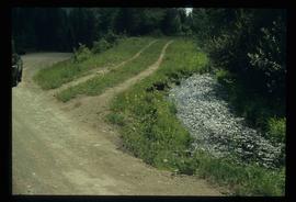
Image depicts the Dunlevy Creek area somewhere near Dawson Creek, B.C. The slide is simply labelled "Dunlevy irrigation" for uncertain reasons.
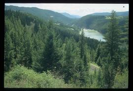
Image depicts rail road tracks through a forest, as well as a river; located in Soda Creek, B.C.
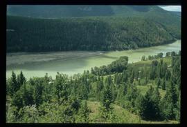
Image depicts a forest and river in Soda Creek, B.C.
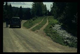
Image depicts the Dunlevy Creek area somewhere near Dawson Creek, B.C. The slide is simply labelled "Dunlevy irrigation" for uncertain reasons.
File consists of notes and reproductions relating to Fort Alexandria (later renamed Alexandria). Fort Alexandria was an HBC trading post, ferry site, and steamboat landing in the North Cariboo, 45 km south of Quesnel. File contains photographs depicting Fort Chilcotin, the landscape and buildings (Sept. 1983 and Aug. 2006).
File consists of a printed email correspondence between Ramona Rose, Florence Smith, and Sue Sedgwick regarding an additional donation of photographic negatives. The file includes photographs depicting photographs of Knox United Church and historic Prince George.


