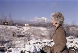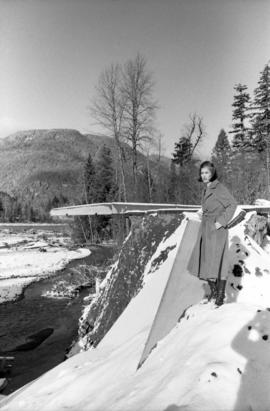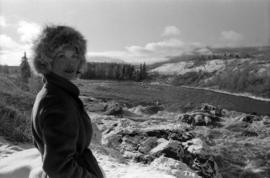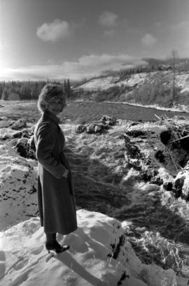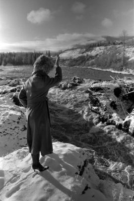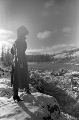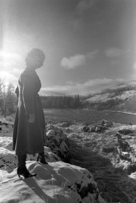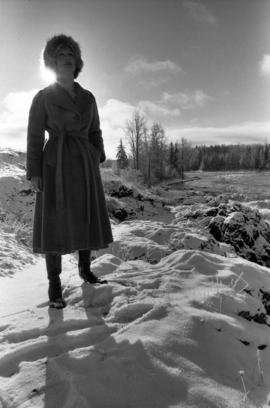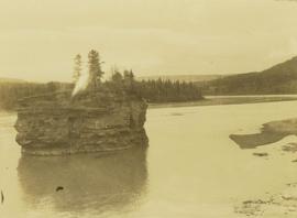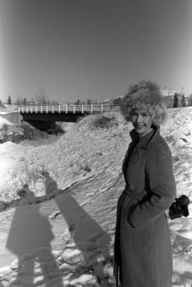
2009.6.13.49.1238
·
Item
·
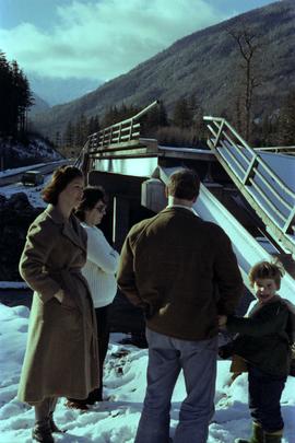
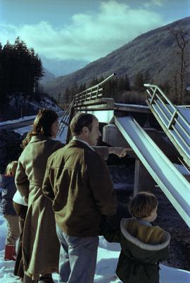
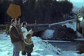
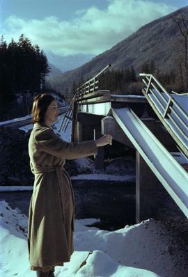
Nov. 1978
Part of The Honourable Iona Campagnolo fonds
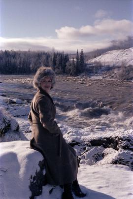
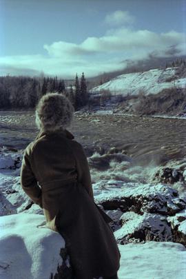
Photograph depicts Iona Campagnolo with a fur hat standing by a bridge over the Bulkley River by Moricetown.