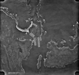
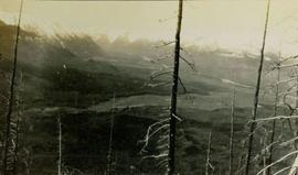
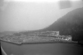
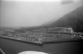
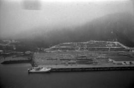
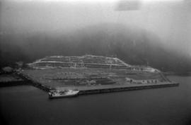
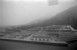
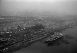
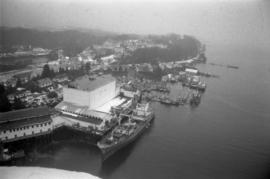
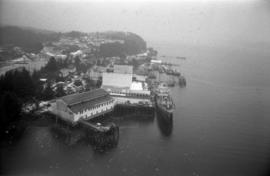
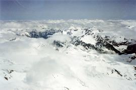
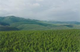
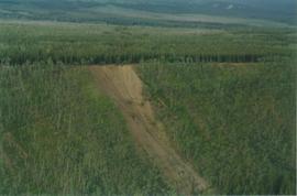
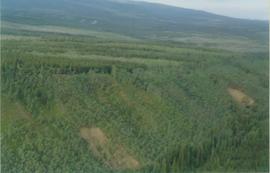
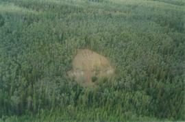
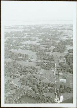
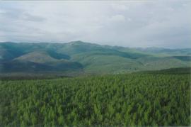
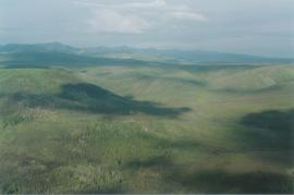
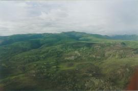
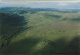
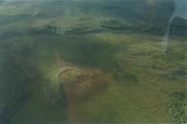
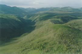
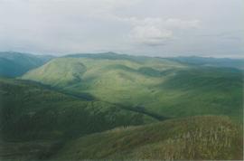
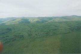
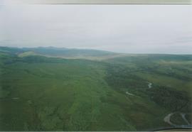
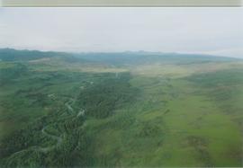
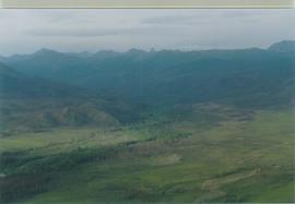
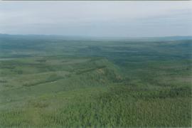
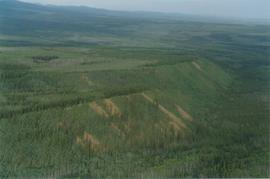
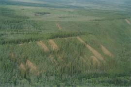
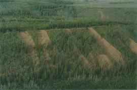
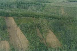
Item is a photograph of forests and farms from the air.
Photograph depicts an aerial view of the Haida Gwaii shoreline near Kiusta.
Photograph depicts steel drums and wooden buildings at an exploration camp in the Kutcho Creek valley area of B.C. The camp was set up by a crew led by Cassiar's Chief Geologist Bill Plumb. An arrow points to a possible burial site.
Photograph depicts steel drums and wooden buildings at an exploration camp in the Kutcho Creek valley area of B.C. The camp was set up by a crew led by Cassiar's Chief Geologist Bill Plumb.
Image depicts an aerial view of the land in the area of Divide Lake.
Photograph depicts an aerial view of the north half of Thutade Lake located between a snow-capped mountain range.
Aerial view of Prince George featuring roadways and the confluence of the Fraser and Nechako rivers.
Annotation on verso: “Prince George from air 1936”.
Photograph depicts an aerial view of the Prince Rupert shoreline.
Attached description: The thriving city of Prince Rupert is shown in this aerial picture. Prince Rupert has been enjoying a construction boom which includes the construction of the $80 million Skeena Kraft mill, hundreds of single-family homes, and hundreds of units in apartments, motels, and hotels. The construction of Skeena Kraft provided the stimulus for a population expansion to over 17,000. The Columbia Cellulose and Skeen a Kraft payrolls account for well over a third of the incomes of the city. Prince Rupert is, along with Terrace, the hub of a new economic region encompassing the Nass and Skeena valley regions.
Photograph depicts an aerial view of the Prince Rupert Fairview Cargo Terminal.
Photograph depicts an aerial view of the Prince Rupert Fairview Cargo Terminal with Prince Rupert in the background.
Photograph depicts an aerial view of the Prince Rupert Fairview Cargo Terminal with a moored boat.
Photograph depicts an aerial view of the Prince Rupert Fairview Cargo Terminal.
Photograph depicts an aerial view of the Prince Rupert harbour.
Photograph depicts an aerial view of the proposed site for the Fairview general cargo dock elevator site.
Photograph depicts an aerial view of a ship at port in Prince Rupert.
Photograph depicts an aerial view of a ship at port surrounded by logs in Prince Rupert.
Photograph depicts an aerial view of ships at the Prince Rupert harbour.
Photograph depicts a view of snow-capped mountains among clouds taken from the air.
View of summit lake from above, many small tree-covered islands and peninsulas visible. Handwritten caption beside this photo reads: "Sumit Lake".
Photograph depicts an aerial view if the asbestos warehouse and wharf.
Photograph depicts an aerial view of the Jefferson Memorial in Washington, DC.
Image depicts an aerial view of a forest somewhere in the area of Divide Lake.
Photograph depicts a southeast aerial view from Sustut Pass of a snow-covered mountain range toward Thutade Lake.