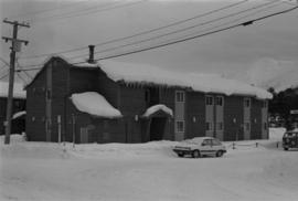
Photograph depicts large building behind power lines, car in right foreground.
Photograph depicts four large buildings behind power lines, believed to be located on Malozemoff Avenue. Trucks in foreground, forest and mountains in background.
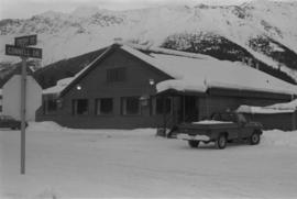
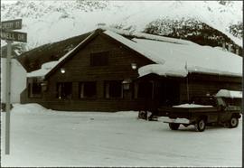
Photograph depicts a building with a truck parked in front on the corner of Connell Drive and Creery Street.
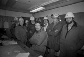
Photograph depicts group of six men in upper meeting room of Engineering/Survey building (former location of old mine dry). Left to right: Tim Carew, Stefan Dyk, Mike Pennock, Paul Clarke, John Oughtred, [unknown].
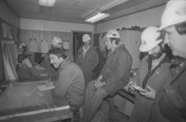
Photograph depicts group of seven men in the Engineering/Survey building (former location of old mine dry). Photo believed to have been taken during the weekly meeting in which strategies were discussed for open pit operations (blasting, haulroad, ore and waste zones). Left to right: Danny Demitri, Roger Borsato, Tim Carew, Don Loverin (behind), Tim Williams (seated), Paul Clarke, Paul McRae.
Photograph depicts group of seven men in the Engineering/Survey building (former location of old mine dry). Photo believed to have been taken during the weekly meeting in which strategies were discussed for open pit operations (blasting, haulroad, ore and waste zones). See item 2000.1.1.3.19.217 for similar photo with individuals identified.
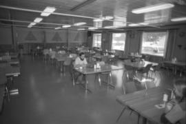
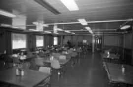
Photograph depicts unidentified man seated at one of many dining tables lining large room. Windows visible in background.
Photograph depicts unidentified man seated at one of many dining tables lining large room.
Photograph depicts the old company store located at corner of Connell Driver and Creery Street. Retail store was located under company cafeteria "the Cookery", with butcher shop in back. The Cookery was known for serving good food and providing excellent service.
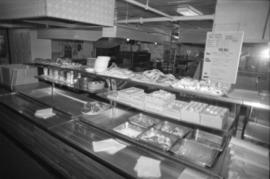
Photograph depicts kitchen area, serving counter in foreground. Supplies and equipment visible throughout.
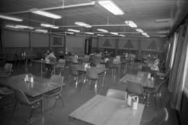
Photograph depicts dining tables and chairs lining large room. Unidentified individual can be seen in background.
Series consists of material collected and created by Kent Sedgwick in relation to his writings, publications, editorial work, and lectures. The files contain material regarding Kent Sedgwick’s writing and lectures on the Lheidli T’enneh cemetery; his book "Monumental Transformation: The Story of Prince George's National Historic Monument"; his book chapter "Crossing the Divide: Northern Approaches to New Caledonia"; his book "Giscome Chronicle: The rise and demise of a sawmill community in central British Columbia, 1912-1976"; edits done to June Chamberland’s book "From Broadaxe to Clay Chinking: Stories about the Pioneers in and around the Prince George area"; writing for the Prince George Heritage Advisory Committee; and Sedgwick’s MA thesis on the Peyto Glacier. The files primarily consist of notes, correspondence, and completed works.
Cartoon style map of Edmonton with listings of activities and locations for Commonwealth games on the reverse of the map.
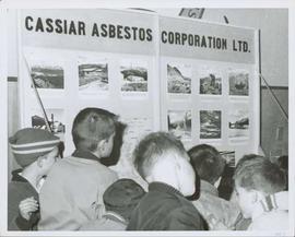
Photograph depicts group of young boys observing "CASSIAR ASBESTOS CORPORATION LTD" display table. Table features photos existing in this archival collection (see items 2000.1.1.3.19.10 and 2000.1.1.3.19.11). Photo speculated to have been taken at an event in Vernon, B.C. Handwritten annotation on verso of photograph: "1963".
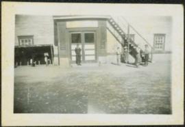
Photograph depicts group of boys standing in front of door and steps of building, two pedal bikes parked on left.
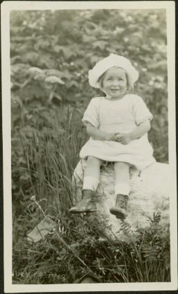
Photograph depicts a small child wearing a hat and dress, seated on a rock in tall grass. Bushes in background.
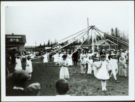
Crowd gathered around young girls holding ribbons anchored to top of pole in centre of image. Buildings stand in background.
Annotation on verso: “Maypole Dance 1927, Prince George."
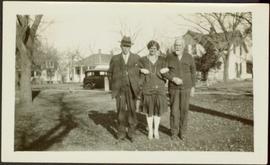
Young unidentified woman stands with linked arms between to unknown men in grass area. Road, car, large trees, and homes stand in background.
