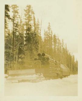
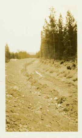
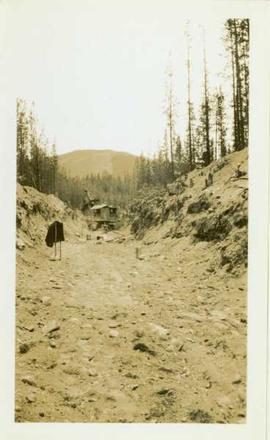
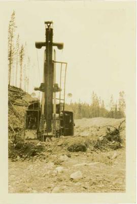
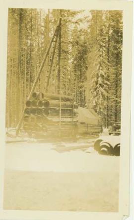
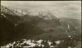
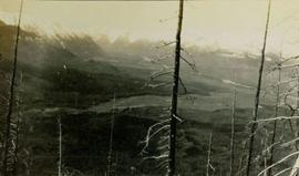
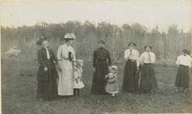
2004.8.1.43
·
Stuk
·
May 1934
Part of Alexander Manson mining collection
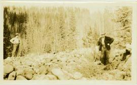
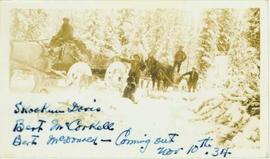
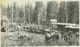
Photograph depicts six sled dogs and three men standing beside a loaded two horse wagon on a forest road.