Showing 1046 results
Archival description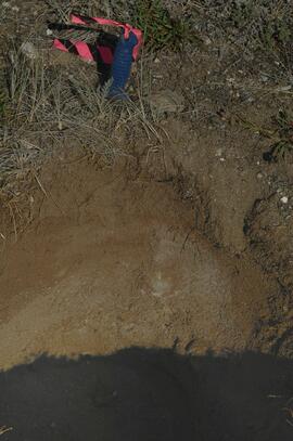
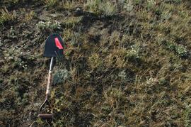
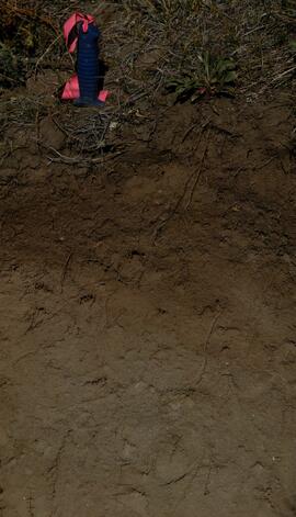
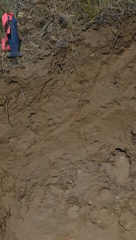
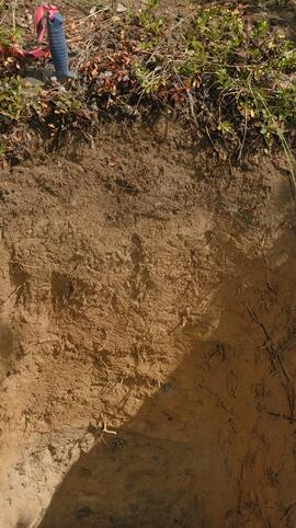
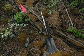
Y09-27-01 profile
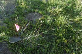
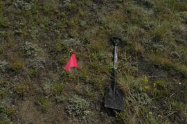
Y09-27-04 G15 surface
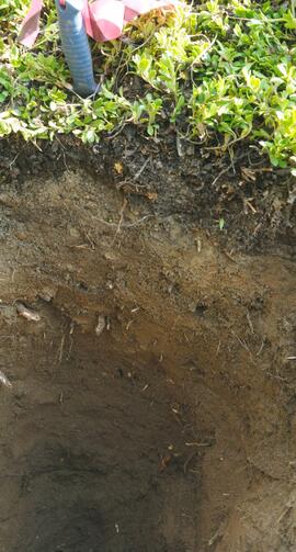
Y09-27-05 profile
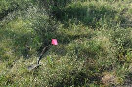
Y09-27-07 F5 surface
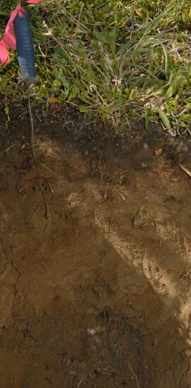
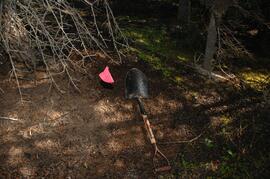
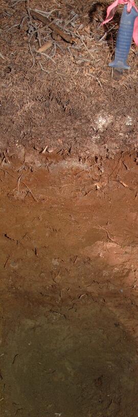
Y09-27-07 profile
Y09-27-08 F10 surface
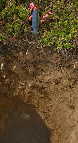
Y09-27-09 profile
Y09-27-10 F20 surface
Y09-28-02 G10 surface
Y09-28-02 profile
Y09-28-03 profile
Y09-28-04 profile
Y09-28-09 F30 surface
Y09-28-09 profile
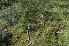
Y09-28-10 F40 site view
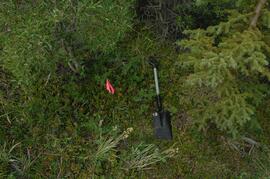
Y09-24 F5 surface
Y09-24 F20 surface
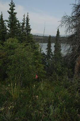
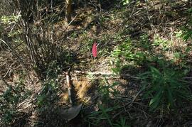
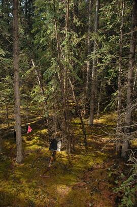
Y09-24 F24 forest transect from crest
Y09-24 G5 surface

MK Soils Project - 2001 - General Vegetation Descriptions

Muskwa-Kechika soils and prescribed burning project data
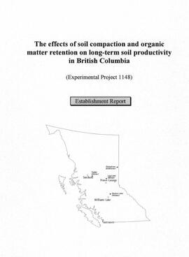
"The effects of soil compaction and organic matter retention on long-term soil productivity in British Columbia (Experimental Project 1148): Establishment Report"
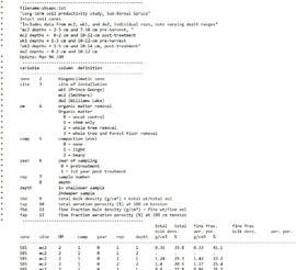
Experimental Project 1148 data
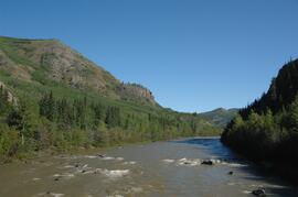
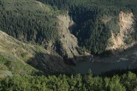
Lower Tuya River, ~5 km above the Stikine River confluence
Lower Tuya River, facing upstream from bridge on Telegraph Creek Road
Lower Tuya River, facing downstream from bridge on Telegraph Creek Road
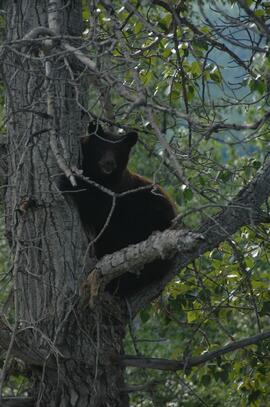
Black bear in tree
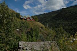
Buildings in Telegraph Creek
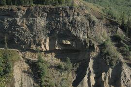
Interbedded basalt flows and glacial fluvial deposits exposed on south side of Stikine River
Interbedded basalt flows and glacial fluvial deposits exposed on south side of Stikine River
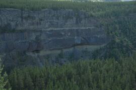
Interbedded basalt flows and glacial fluvial deposits exposed on south side of Stikine River
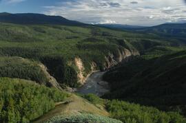
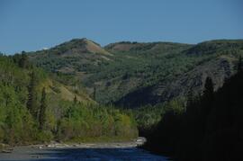
Stikine River, facing downstream ~8 km northeast of the Tuya River confluence
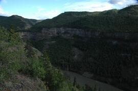
Stikine canyon
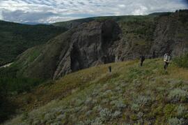
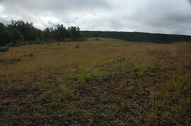
Tuya River, grasslands ~10 km above the Stikine River confluence
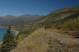
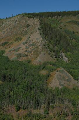
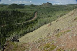
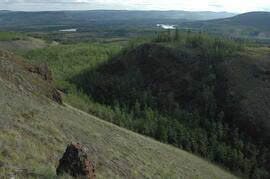
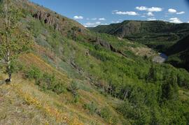
Forest-grassland mosaic, southeast side of Kluane Lake (south of Cultus Bay)
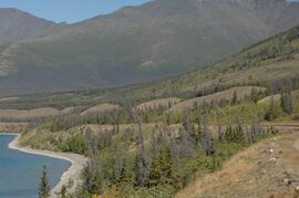
Forest-grassland mosaic, southeast side of Kluane Lake (south of Cultus Bay)
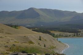
Forest-grassland mosaic, southeast side of Kluane Lake (south of Cultus Bay)
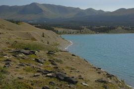
Forest-grassland mosaic, southeast side of Kluane Lake (south of Cultus Bay)
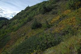
South facing grasslands, ~1 km on Mt Nansen Road
South facing grasslands, ~1 km on Mt Nansen Road
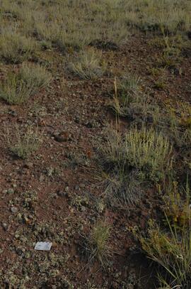
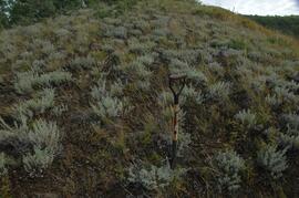
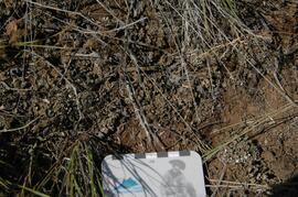
Crust-covered gravelly soil surface with Artemisia
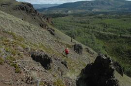
South facing grasslands, ~1 km on Mt Nansen Road
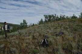
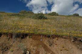
Tuya River valley site BC07-01
Tuya River valley site BC07-01
Tuya River valley site BC07-03
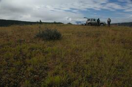
Tuya River valley site BC07-03
Stikine River valley soil crust at site BC07-04
Stikine River valley site BC07-04
Stikine River valley site BC07-04
Stikine River valley site BC07-05