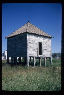
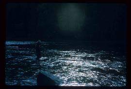
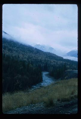
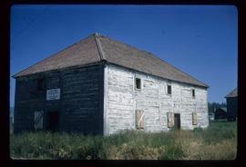
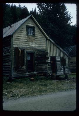
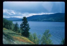
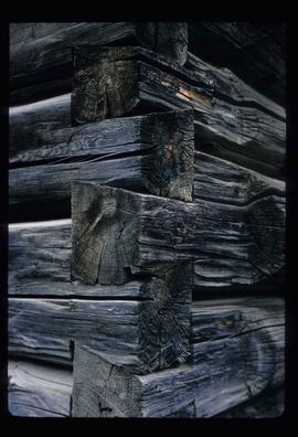
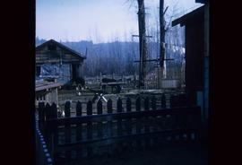
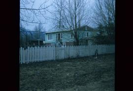
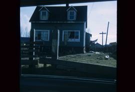
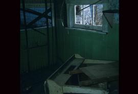
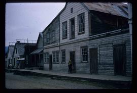
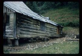
2012.13.1.37.02
·
Item
·
1970
Part of J. Kent Sedgwick fonds
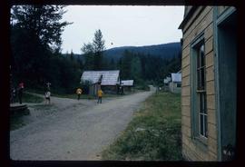
Image depicts Wells, B.C.