Affichage de 352 résultats
Archival description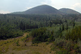
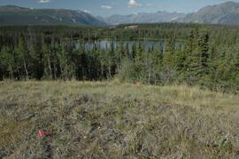
Site Y09-23 aerial view
"AMS Radiocarbon Dates for Soil Charcoal in Holocene Loess - Kluane Lake, Yukon Territory - 2008 Samples"
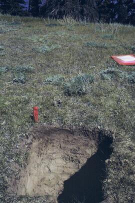
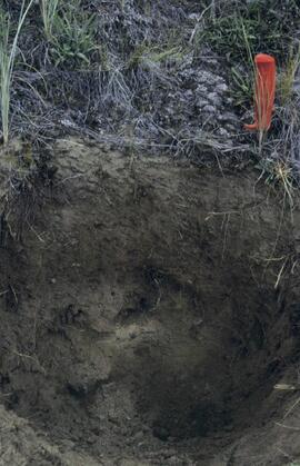
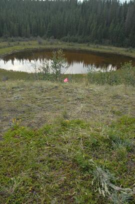
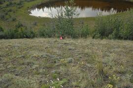
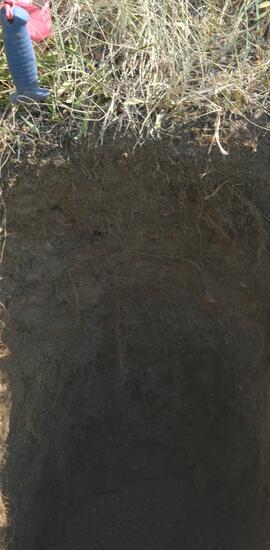
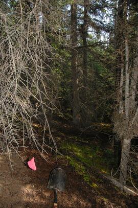
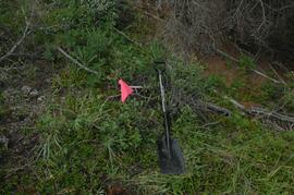
Y03-03 profile and site
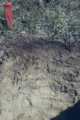
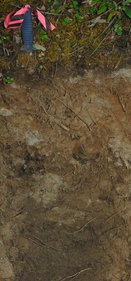
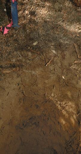
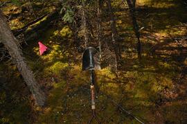
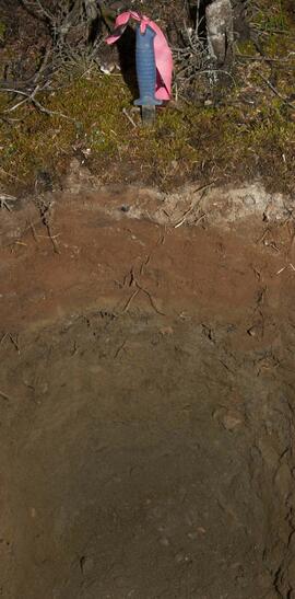
Y03-03 profile
Kluane Lake 2003 photographs - slide roll 3
Kluane Lake 2003 photographs - slide roll 3
Y03-10 profile
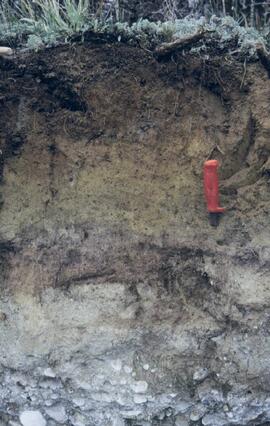
Y03-08
Y03-09 profile (detail)
Y03-08
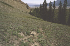
Lower Slims unburned grassland
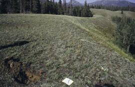
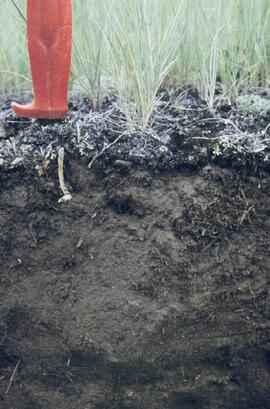
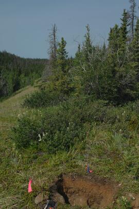
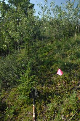
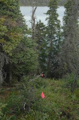
Y03-06 site
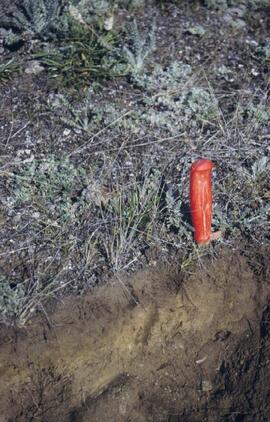
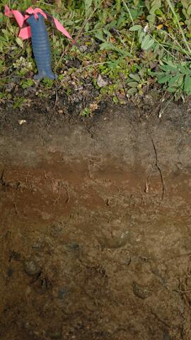
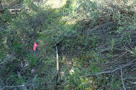
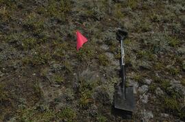
Y03-06 profile

Nostoc Crust (Kluane NP, Lower Slims)
Kluane Lake 2003 photographs - digital photographs
Kluane Lake 2003 photographs - digital photographs
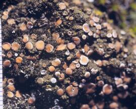
Cryptobiotic soil crust close-up
Kluane Lake 2004 photographs - print roll 12
Kluane Lake 2004 photographs - print roll 12
Kluane Lake 2004 photographs - print roll 13
Kluane Lake 2004 photographs - print roll 13
Y09-24 grassland transect from crest
Y09-24 grassland transect from G5
Y09-24-01 site view 2
Y09-24-02 F5 profile
Y09-24-05 F20 profile
Y09-27 site view from crest
Y09-27-03 profile
Y09-27-06 G25 surface
Y09-27-08 F10 site view
Y09-27-09 F15 surface
Y09-27-11 F25 site view
Y09-27-11 F25 surface
Y09-27-11 profile
Y09-28 site view downhill to G40
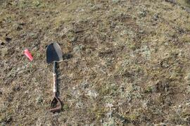
Y09-28-01 crest surface
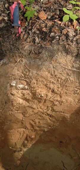
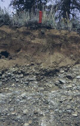
Y09-28-05 profile

Y09-28-07 profile
Y09-28-09 F30 site view
Y09-28-10 F40 surface
Y09-28-10 profile
Y09-24 F10 surface
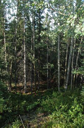
Y09-24 forest transect from F5
Y09-24 G10 surface
Physiographic Subdivisions of the Canadian Cordillera North of the Fifty-Fifth Parallel
Physiographic Subdivisions of the Canadian Cordillera North of the Fifty-Fifth Parallel

Carcross Train Station
Miles Canyon? - A River
Miles Canyon? - A River

Miles Canyon - People on a Boat

Miles Canyon - Robert Lowe Bridge
White Pass Train
White Pass Train
Job 144 - Department of Indian Affairs and Northern Development - Impact Analysis of Proposed Mining Road Access, Casino Trail - Carmacks, Yukon
Job 144 - Department of Indian Affairs and Northern Development - Impact Analysis of Proposed Mining Road Access, Casino Trail - Carmacks, Yukon
Tarnocai and Smith lab data sheets for Yukon Paleosol Study soil samples
Tarnocai and Smith lab data sheets for Yukon Paleosol Study soil samples
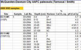
McQuesten-Dawson City paleosol data for Yukon Paleosol Study
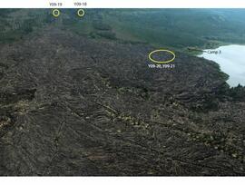
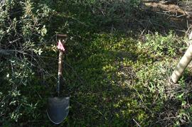
Holocene basalt flows south of Volcano Mountain