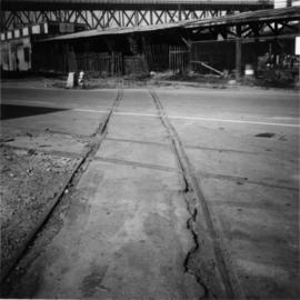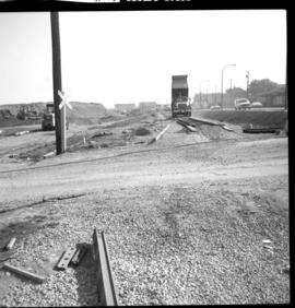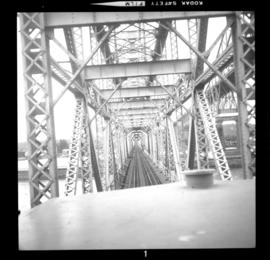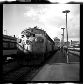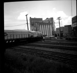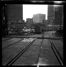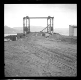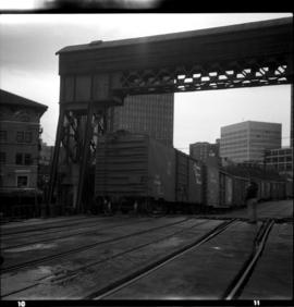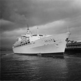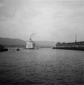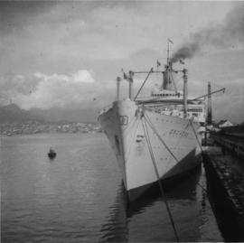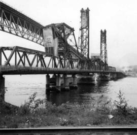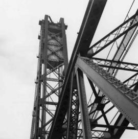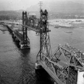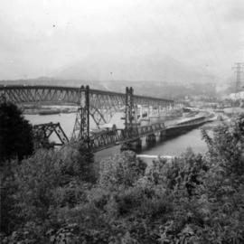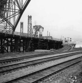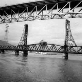
2013.6.36.1.048.13
·
Item
·
6 Oct. 1974
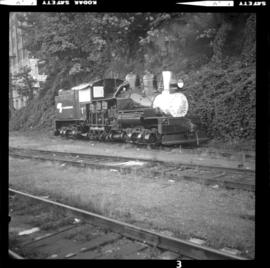
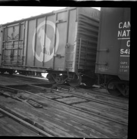
Part of David Davies Railway Collection
Photograph taken near downtown Vancouver. Image captured the south side, just east of the centre line.