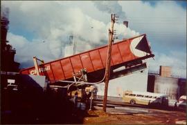
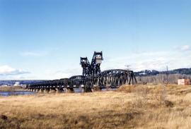
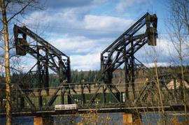
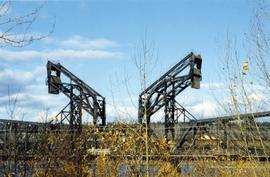
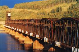
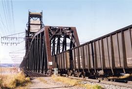
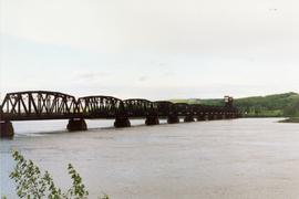
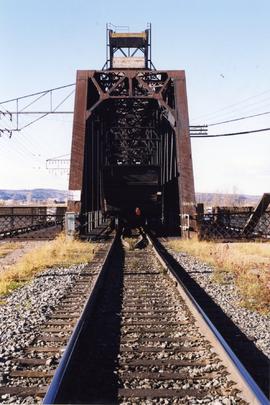
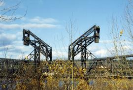
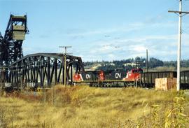
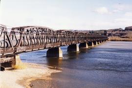
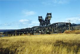
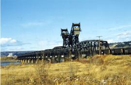
Showing 815 results

Archival description
Central Fort School
2012.13.1.40.07 · Item · 1979
Part of J. Kent Sedgwick fonds

Image depicts an old, boarded up school, possibly the Central Fort George Traditional School in Prince George, B.C.

Central Street West
2012.13.1.3.115 · Item · 12 Oct. 1989
Part of J. Kent Sedgwick fonds

Image depicts Central Street West, parallel to Highway 97 in Prince George, B.C. looking north. Shown: Prince George Motors and other car dealerships, Burger King, Grama's Inn, and the Spruceland Shopping Mall sign. Map coordinates 53°54'42.1"N 122°46'53.1"W

2000.13.1.38 · Item · [196-].
Part of Ray Williston fonds

Item is a photograph of a CP Rail chip car being dumped. The development of the interior chip pulp industry necessitated new designs for chip rail cars and their dumping facilities.

2006.18.6.01 · File · [196-?]
Part of Aleza Lake Research Forest Society fonds

Photographs are panoramas taken from the Churchill BC Forest Service Lookout, located at latitude 54°04' and longitude 122°16'. The photographs were bound together and include a transparent grid that was intended to be used for locating forest fires.

City Hall
2012.13.1.3.165 · Item · May 2001
Part of J. Kent Sedgwick fonds

Image depicts Prince George City Hall. Map coordinates 53°54'46.3"N 122°44'41.9"W

Clear Cut Logging
2012.13.1.122.03 · Item · Oct. 1975
Part of J. Kent Sedgwick fonds

Image depicts a highway, and a section of mountain in the background which is bare due to clear-cut logging. It is possibly somewhere near Prince George, B.C.

Clear Cut Logging
2012.13.1.122.04 · Item · Oct. 1975
Part of J. Kent Sedgwick fonds

Image depicts a logging area, and a section of mountain in the background which is bare due to clear-cut logging. The slide is also labelled "logging show." It is possibly somewhere near Prince George, B.C.