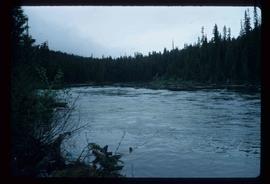
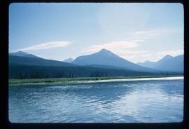
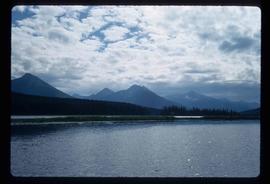
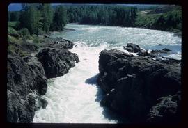
Image depicts a section of Isaac Lake which is apparently known as the "chute."
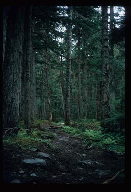
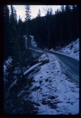
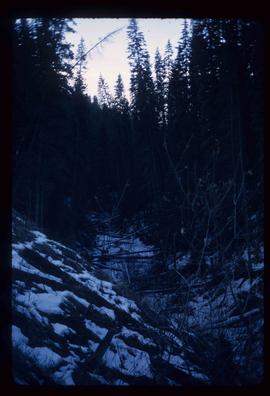
Image depicts the path taken during the portage to McCleary Lake.
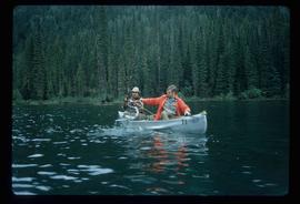
Image depicts two individuals fishing in a canoe on McCleary Lake. The slide is also labelled "dolly," likely meaning the fish in the net is a Dolly Varden trout.
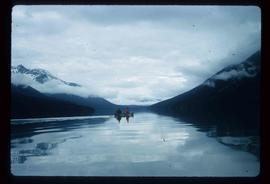
Image depicts four individuals canoeing on Lanezi Lake.
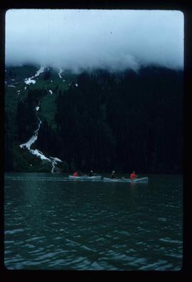
Image depicts two individuals canoeing on Lanezi Lake.
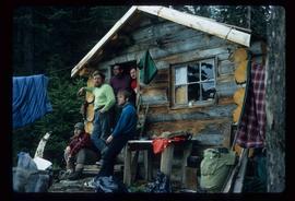
Image depicts the canoe group at the Turner Creek Cabin by Lanezi Lake.
Image depicts two unknown individuals pulling a canoe through Babcock Lake's three mile creek.
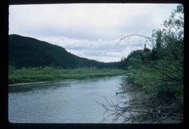
Image depicts the river channel leading to the Spectacle Lakes.
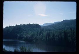
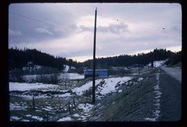
Image depicts a slough area while on approach to Bowron Lake.
Image depicts a slough area while on approach to Bowron Lake.
Image depicts a slough area while on approach to Bowron Lake.
Image depicts the sky at either dusk or dawn, from an unknown location.
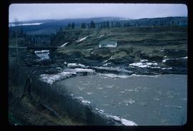
Image depicts the Bulkley River near Moricetown, B.C.
Image depicts the Bulkley River.
Image depicts the Skeena River at Hazelton, B.C.
Image depicts Burns Lake, B.C.
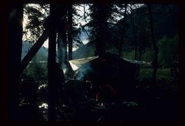
Image depicts a camp at the Betty Wendle campsite at Isaac Lake.
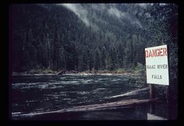
Image depicts a log jamb at the Isaac Falls.
Image depicts the river channel leading to the Spectacle Lakes.
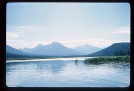
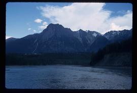
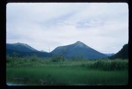
Image depicts mountains, taken from the river channel leading to the Spectacle Lakes.
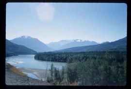
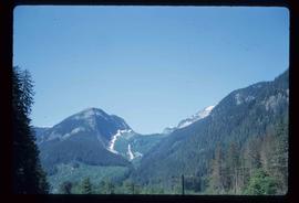
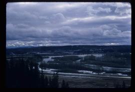
Image depicts a mountain range located somewhere along the Skeena River.
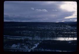
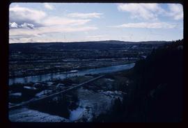
Image depicts a view of Prince George from the cutbanks.
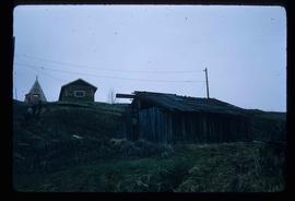
Image depicts a few old buildings, as well as several unknown individuals somewhere in Moricetown, B.C.
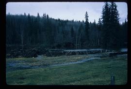
Image depicts a beaver dam somewhere in Hazleton, B.C.
File consists of original and photocopied newspaper clippings regarding Cottonwood Island and Island Cache, predominantly from the Prince George Citizen.
File consists of maps and plans depicting the Cottonwood Island area in Prince George. Includes:
- "Plan of Subdivision pursuant to the replotting provisions of the Municipal Act of Parcel A of Plan 25046, of District Lots 343, 662, 1511, 4736, and 7813, Cariboo District" by McWilliam, Whyte, Goble & Associates B.C. Land Surveyors for the City of Prince George, 26 July 1979 (reproduction on 2 sheets)
- "Cottonwood Island" original draft map with annotations by Kent Sedgwick; the map may have been created by Sedgwick during his time as Senior City Planner with the City of Prince George [197-?]
- "Prince George B.C., Fraser Subdivision, Mile 146.05" plan for Canadian National Railways by Lockwood Survey Corporation Ltd., 1967. This very large technical drawing shows CN leases and private property buildings on Island Cache in detail.
- McWilliam-Whyte-Goble & Associates, B.C. Land Surveyors, "Plan Showing Sections in Proposed Lakeland Mill Site", July 1978 (original reproduction).
- Carroll, Hatch & Associates, "Lakeland Mills (1973) Ltd., Prince George, B.C., Stud Mill Studies, Site Plan", 31 July 1978 (original reproduction).
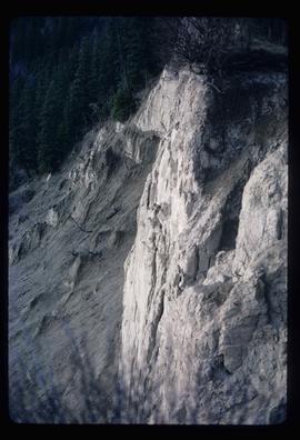
Image depicts a cutbank on the Nechako River in Prince George, B.C.
Image depicts the Fraser River from the vantage point of the cutbanks in Prince George, B.C.
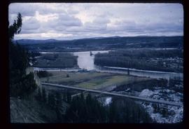
Image depicts a view of Prince George from the cutbanks on the Nechako river.
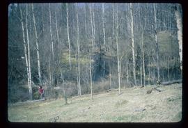
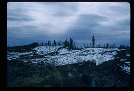
Image depicts a section of forest in the Bulkley Valley.
Image depicts the Bulkley River near Moricetown, B.C.
Image depicts part of the McMillan Creek Trail in the McMillan Regional Park in Prince George, B.C.
Image depicts part of the McMillan Regional Park in Prince George, B.C.
Image depicts the McMillan Creek from Northwood Pulpmill Road, in Prince George, B.C.
Image depicts an esker at Bednesti Lake, B.C.
Image depicts a crevasse filling ridge somewhere in the Bulkley Valley, B.C.
File consists of a pamphlet titled "The Quesnel-Lillooet Bulletin Area" prepared by the Department of Lands, Forests, and Water Resources from the Province of British Columbia. The pamphlet is a revised 2nd edition published in 1973, the original was published in 1968.
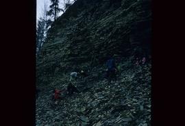
Image depicts numerous unknown individuals searching through a fossil bed, possibly in the Bulkley Valley.
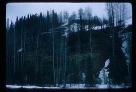
Image depicts a fossil bed, possibly somewhere in the Bulkley Valley.
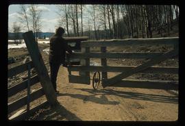
Image depicts an individual opening the gate at Nautley in Fort Fraser, B.C.
Image depicts a view of the Fraser-Nechako confluence from the Prince George cutbanks.
Image depicts Burns Lake, B.C.
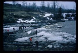
Image depicts numerous unknown individuals standing by the Bulkley River near Moricetown, B.C.
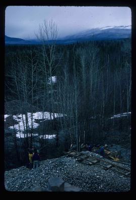
Image depicts a group of people at a mine somewhere near Hazelton, B.C.
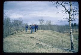
Image depicts a group of unidentified individuals walking along a crevasse filled ridge somewhere in the vicinity of Smithers, B.C. The slide also labels it as a "drift ridge."
Image depicts a small slope on Carney Hill in Prince George, B.C.
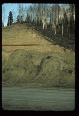
Image depicts miocene gravels on Carney Hill in Prince George, B.C.
File contains slides depicting numerous individuals hiking up Mount Robson.
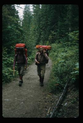
Image depicts two men on the hiking trail near Mt. Robson.
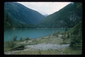
Image depicts a lake somewhere near Mt. Robson; it is possibly Kinney Lake.
