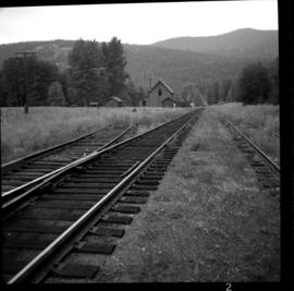
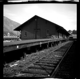
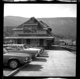
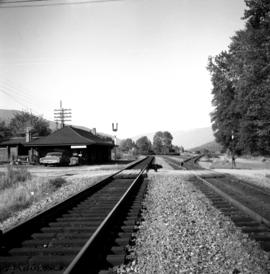
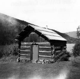
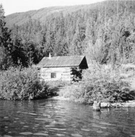
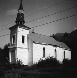
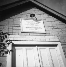
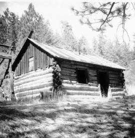
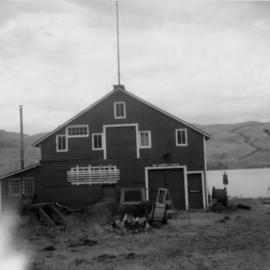
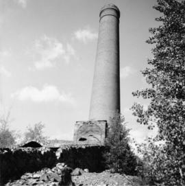
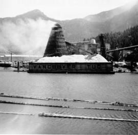
Photograph depicts a mill and beehive burner.
Photograph depicts a 120 ft. stack of the former B.C. Copper Company in Anaconda, on the outskirts of Greenwood. It was built sometime between 1903 and 1909 and replaced a steel stack built on 1900, immediately below it.
Photograph depicts a meat hanging shed on a ranch on Granby River Road, Grand Forks.
Photograph depicts the Midway CPR depot located at the eastern terminus of Kettle Valley Railway. It was a subdivisional point with way freights originating at Nelson and Penticton, and running west and east respectively to Midway. There are two to 3 freights weekly from Nelson and 1 to 2 from Penticton. It lost its agency in June 1969 and all small freight [
Photograph depicts the CPR line at Greenwood. There is no representative of the CPR in Greenwood now and the agency expired in June 1969. There appears to be 2 to 3 way freights per week from Nelson to Midway. The view is looking north and shows the depot house.
Photograph depicts the CPR line at Eholt, located at mile 108.7 from Nelson on the Boundary Subdivision. It was a formerly bustling junction with the left-hand spur leading to Phoenix. Nor it only has 3 way freight trains a week from Nelson to Midway. The view is looking west.
Photograph depicts a freight shed at the Nelson CPR depot. There is a terminal spur on the south side of the shed and road trucks on the north side. The road side of the main depot building can be seen in the left rear of the photo. The view is facing east.
Photograph depicts the Nelson CPR depot . All the freight traffic work is handled at this office for a wide area. The view is looking west.
Photograph depicts the CPR depot at Proctor, located at mile 117.5 from Cranbrook on the Nelson Subdivision. David Davies notes: "The view is looking east and shows the spur at right leading to a barge slip on Kootenay Lake. The majority of the spur rails here are dated 1908-1910." An updated description provided by a subject expert suggests that this view is actually looking west.
Photograph depicts an abandoned house in a semi-host town viallage that dated back to 1895-1900. It was coverd with hop flowers which was typical for most of the deserted homes in the area. Village had 20 buildings standings of which 12 were occupied.
Photograph depicts the Transformer Sub-Station of West Kootenay Power and Light Company, which is the only private power distribution company left in B.C. at the time. In was built in 1905 and was in operation by 1906. There were identical buildings made in Grand Forks and Phoenix, but they were demolished at the latter place.
Photograph depicts a working undershot water wheel on Lardeau Creek River. It was the only water wheel seen in B.C. between 1963 and 1970. It was designed to drive an electricity generating set, but it was not coupelled to the set at the time.
Photograph depicts a barn located on the south side of Kokamee Creek, part of Kootenay Lake.
Photograph depicts the CPR line at Arawana, 5 miles northeast of Penticton. It was formerly a depot and water stop, then a passing loop and spur, and now nothing. The building in the photo is a typical track trolley shanty.
Photograph depicts a former icehouse at the Nelson CPR depot. It is located about 150 yards west of the main depot building. It also shows service boxcar CPR #412120, on the right track. The view is looking east.
Photograph depicts the CPR depot at Castlegar. The left-hand track leads to Trail and the right-hand track to Midway and Penticton. The picture was taken at about 1 pm with the Nelson to Midway way freight train standing at the depot. The caboose was built in 1913. The view is looking west.
Photograph depicts the only surviving building in the ghost town of Gerard. Its survival was due to the ownership and periodic use of the B.C. Government Fisheries Department.
Photograph depicts the Kaslo City Hall, built in 1898. The first floor contained a library while the second floor held a coutroom with original furnishings in mild disarray.
Photograph depicts Windsor School, an elementary school in south Burnaby.
Photograph depicts Windsor Hotel, the only survivor of about 5 hotels that were in the area.
Photo depict Movat's store where you could buy food, dry goods, and hardware among other things. Located beside the original pier on Salt Spring Island, now little used for general and commercial traffic.
Photograph depicts an original trappers cabin on Staubert Lake.
Photograph depicts a trappeers cabin on the northend of Trout Lake and Trout Lake City. It was maintained in good condition by present owners who valued its age.
Photograph depicts an Indian Roman Catholic church at the mouth of Anderson Lake. No services were held anymore. It was externally restored in 1968 by the white people of the village, while the Natives did the interior. Unfortunatley, there was no work done on the interior as of the date the photograph was captured.
Photograph depicts a Ukranian Greek Orthodox church on the outskirts of Mission.
Photograph depicts a deserted cabin on the Indian Reserve above the PGE track at the northwest corner of Seton Lake. It probably had been occupied up until the last 5 years.
Photograph depicts a Ukranian Greek Orthodox church on the outskirts of Mission. A poster on its door stated that it been 50 years the church had been in Canada (1918-1968).
Photograph depicts the Moha "ghost" vilage, 20 miles west of Lillooet, at the fork of Bridge and Yalako Rivers. It used to be a gold mining village. About 8 houses/cabins were left standing, but none were occupied. Displayed is one that had 2 ft. thick walss to waist height, as shown.
Photograph depicts St. Ann's Academy, a girls boarding school. In the distance, a graceful spire marks the highest point of the building.
Photograph depicts St. Ann's Academy, a girls boarding school that was close to the centre of Victoria. In the corner of the property, nuns had established the first school in B.C. in 1853.
Photograph depicts St. Ann's Academy, a girls boarding school that was close to the centre of Victoria. Captured the front of the main building.
Photograph depicts a house that had been pushed on its side by a bulldozer.
Photograph depicts Vancouver City College, formerly King Edward Secondary School.
Photograph depicts a building that was believed to have had many usess, its last being a fish store.
Photograph depicts the Deroche post office that was well patronised for mail and newspaper distribution.
Photograph depicts a well cared for house that was empty and being stripped along with 3 other house on Barclay to make way for a high rise apartment block. Built circa 1905.
Photograph depicts a house that at the moment was being pushed up on its side by a bulldozer.
Photograph depicts one of the four houses on the corner of Barclay and Nicola. It was being demolished to make way for high rise apartments.
Photograph depicts Stave Falls School, a type of rural school that was falling into disuse. This one was still in use and cared for.
Photograph depicts a house being gutted, prior to demolition.
Photograph depicts one of four houses that were being gutted and demolished to make way for a concrete high rise apartment block. Built circa 1905.
Photograph depicts a frame house in Vancouver. A high rise apartment on Barclay Street was being built and was just appearing in the background.
Photograph depicts the rear view of Ridgewood Studio, Ltd., furnishers and furniture renovators. The wood shed was used for repair and repolishing of furniture.
Photograph depicts a CPR wharf building at Okanagan Landing, Okanagan Lake. It was presumably used as a covered slipway and as a store. It was was now boarded up and the rail track between Vernon and Okanagan Landing was removed in 1940.
Photograph depicts a house that provided an example of the few surviving homes left on Beach Ave.
Photograph depicts one of the surviving houses on Beach Ave, Vancouver, between Gilford and Chilco.
Photograph depicts a house that had a "sold" notice on it and was partly demolished. Up to the date the photograph was captured, this block on Beach Ave. was the sole remaining one to have only houses on it, as opposed to a mixture of houses and apartment blocks, or blocks only.
Photograph depicts a large house that was actually the Sunset Beach Lodge. The western end of the block was being demolished. Image captured the last complete block of houses on Beach Ave.
Photograph taken looking northwest at a corner house and another home to its left. They were 2 of 9 houses in this Beach Block, the last block of houses on Beach Ave.
Photograph depicts the demolished site of Nelson Laundries Ltd. The boiler in the foregorund was having tubes removed by a wrecker. The site was to be occupied by a Ford motor dealer.