2006.25.1.23
·
Item
·
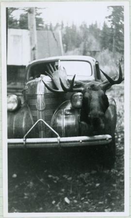
Nov. 1963
Part of Al Elsey Moving Images Collection
Footage of man holding up and examining a moose head trophy in winter.
Possible locations include the Chilcotin region, Rainbow Mountains or Tweedsmuir Provincial Park.