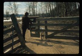
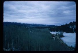
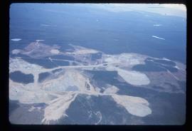
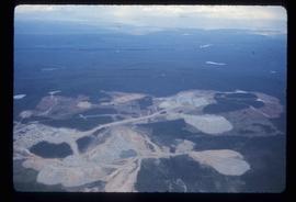
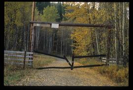
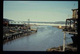
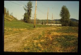
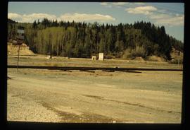
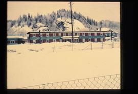
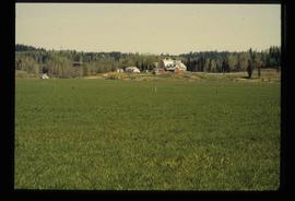
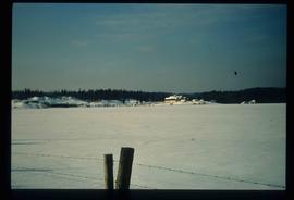
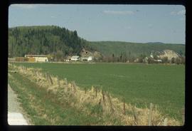
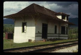
Image depicts an individual opening the gate at Nautley in Fort Fraser, B.C.
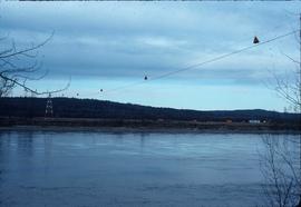
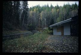
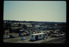
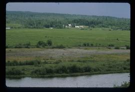
Image depicts a gauging station at Shelley, B.C.
File contains material about Catharine Jeremie. It consists of genealogical website printouts with the birth and death dates of Jeremie and some of her ancestors.
File consists of photocopied and transcribed copies of correspondence, mostly between Lawrence and Speirs, on a variety of topics related to ornithology, including discussion of publications, birding, research, and the administration of the Margaret Nice Ornithological Club as well as on the travelling and health of Speirs, Lawrence, and Lawrence
File consists of correspondence relating to: decisions on material to be included in the monograph, edits of early drafts of sections of the monograph, locating research materials, and the general administration of the monograph project.
File consists of correspondence relating to the status of the project, suggestions by editors, and ongoing discussion of the roles and tasks involved in the monograph project.
File includes six aggregations of photographs which have been assembled in this file in order to maintain the integrity of each group by keeping the photos arranged together, though each group features operations pertaining to multiple files in this subseries. Includes groups featuring photos from 1961, 1965 1971, a helicopter trip, a community album, and a workplace album. Photographs depict images pertaining to the following operations at Cassiar, B.C.: mining, milling, maintenance, labratory tests, and tramline and town operations. Images featuring operations of the company town include the grocery store, bank, churches, school, library, lounge, pool, theater, community center, outdoor recreation, hospital, dentist, cafeteria, bus route, residences, air strip, firehall, laundromat, park, police, and newspaper.
File consists of a publication on the species classification of wood bison, William Rowan correspondence related to the Wood Buffalo Controversy, an edited article by Ainley and Tina Crossfield entitled, "Scientists vs. Government Experts: The Wood Buffalo Controversy, 1920-1991," photocopies of transcripts of House of Commons proceedings from the 1920s related to a plan for wood and plains buffalo conservation, articles on the species classification of wood bison and plans to decrease the number of bison as a result of an outbreak of disease among the bison in the 1990s, a table on the decrease in numbers of wood bison, and Ainley's research notes.
Photographs within this file document natural and artificial features across the landscape of Northern British Columbia. This landscape also includes the physical, built, urban and industrial landscapes; topography; site plans; boundaries, districts, reserves, parks, sanctuaries, towns, villages and cities, etc.
Subseries consists of materials collected by Kent Sedgwick for research on the geography and natural resources in Prince George and its region. Includes material on the natural resource industry, including the opening of the McArthur Sawmill, the W. Lamb and Sons Lumber Sawmill, and mining; photocopied aerial photographs of Prince George; the climate, temperatures, and flooding; and the geographical features of Prince George.
File contains slides depicting a hike near the Geraldine Lakes.
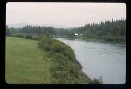
Image depicts the Germansen River, with the buildings of Germansen Landing visible on the other side.
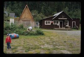
Image depicts a child in the foreground, and the Germansen Landing trading post in the background in Germansen Landing, B.C.
Image depicts a helicopter in Germansen Landing, B.C.
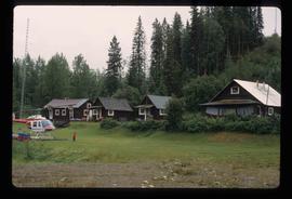
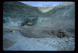
Image depicts the Gibraltar mine site north of Williams Lake, B.C.
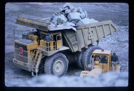
Image depicts an 80 tonne truck full of rocks at the Gibraltar mine site north of Williams Lake, B.C.
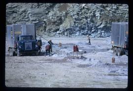
Image depicts a number of workers putting in blasting powder at the Gibraltar mine site north of Williams Lake, B.C.
Image depicts a loading truck at the Gibraltar mine site north of Williams Lake, B.C.
Image depicts an aerial view of the Gibraltar mine site's pits and waste dumps, north of Williams Lake, B.C.
Image depicts an aerial view of the Gibraltar mine site's pits and waste dumps, north of Williams Lake, B.C.
Image depicts the Ginter House and the surrounding woods, in Prince George, B.C.
Image depicts a private driveway, most likely leading to the Ginter Property in Prince George, B.C.
Image depicts a road near the Ginter House in Prince George, B.C.
Image depicts a road near the Ginter House in Prince George, B.C.
Image depicts the Giscome, B.C. town site with the Giscome railway station and the Giscome store in the center surrounded by vehicles. Map coordinates 54°04'18.5"N 122°21'57.7"W
Image depicts mill site and dock in Giscome, B.C. with Eaglet Lake in the background covered in ice. There is a large crowd of people gathered near the dock. Map coordinates 54°04'34.9"N 122°21'50.0"W
Image depicts the remains of a street of houses in Giscome, B.C. The quarry is slightly visible in the background. Map coordinates 54°04'20.9"N 122°21'53.1"W
Image depicts the Giscome mill site in Giscome, B.C. The railroad tracks are in the foreground. Map coordinates 54°04'17.6"N 122°22'06.1"W
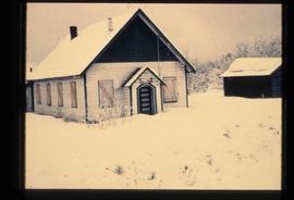
Image depicts the Giscome bunkhouse in Giscome, B.C. Map coordinates 54°04'17.6"N 122°22'06.1"W
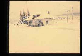
Image depicts the old CN station in Giscome, B.C. Map coordinates 54°04'20.7"N 122°22'01.1"W
Image depicts the Giscome Community Hall in Giscome, B.C. Map coordinates 54°04'18.5"N 122°21'57.7"W
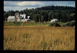
Image depicts a large, old and collapsing barn, as well as a nearby house of the dairy farm in Giscome, B.C. Map coordinates 54°03'53.3"N 122°21'22.6"W
Image depicts the dairy farm in Giscome, B.C. Map coordinates 54°03'53.3"N 122°21'22.6"W
Image depicts the dairy farm in Giscome, B.C. Map coordinates 54°03'53.3"N 122°21'22.6"W
Image depicts the dairy farm in Giscome, B.C. Map coordinates 54°03'53.3"N 122°21'22.6"W
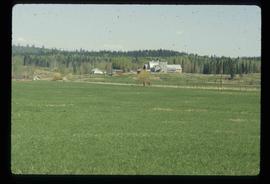
Image depicts a farm in Giscome, B.C.
Image depicts Giscome with the school on the left, the remnants of the town site in the middle and the church on the right. Map coordinates 54°03'58.2"N 122°22'04.8"W
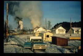
Image depicts several houses and the Giscome saw mill in Giscome, B.C. in the background. Map coordinates 54°04'20.9"N 122°21'53.1"W
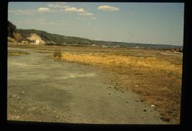
Image depicts an open area with Eaglet Lake in the background. It depicts the previous site of the mill at Giscome, B.C. Map coordinates 54°04'19.7"N 122°22'04.7"W
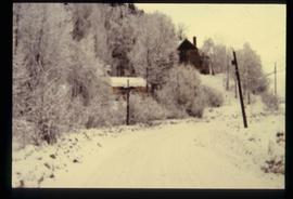
Image depicts the Giscome mill foreman's house on the hill. Map coordinates 54°04'28.0"N 122°22'05.8"W
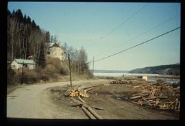
Image depicts the Giscome mill foreman's house on the hill, with Eaglet Lake in the background and numerous piles of logs in the foreground. Map coordinates 54°04'28.0"N 122°22'05.8"W
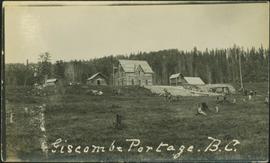
Photograph depicts people and tree stumps in grass areas. Buildings stand on higher level in midground, forest in background. Handwritten annotation on verso of photograph: "Giscombe Portage. B.C.", on recto: "Seaback & Huble"
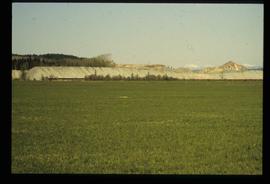
Image depicts what is possibly the quarry located at Eaglet Lake in Giscome, B.C.
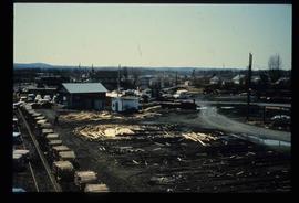
Image depicts the Giscome, B.C. mill site looking west. Map coordinates 54°04'18.5"N 122°21'57.7"W
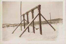
Side perspective of wooden swings covered in snow. Handwritten annotation in pen on verso reads: “The school swings.”
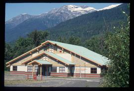
Image depicts the Gitwinksihlkw Elementary School in Gitwinksihlkw, B.C.
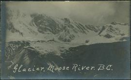
Photograph depicts glacier and snow in mountains. Handwritten annotation on verso of photograph reads: "Glacier, Moose River. B.C."
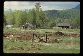
Image depicts a cabin and several sheds somewhere in Goat River, B.C.
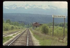
Image depicts the CN Railway and Station at Goat River, B.C.
Image depicts the CN Railway and Station at Goat River, B.C.
