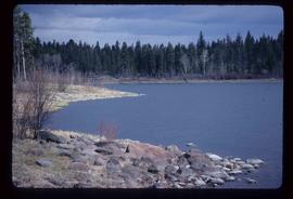
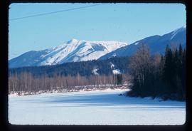
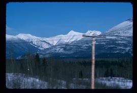
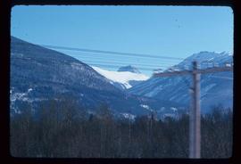
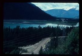
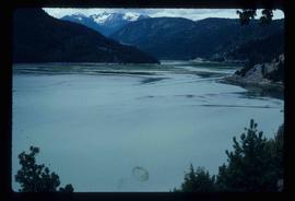
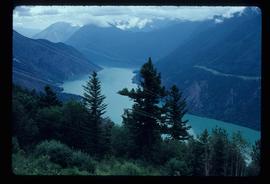
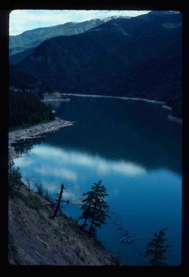
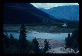
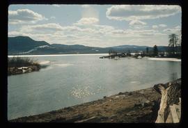
Image depicts an aerial view of the Fraser River near Soda Creek, B.C.
Image depicts some power lines and mountains near Pemberton, B.C.
Image depicts Highway 99 north of Squamish and near Pemberton, B.C.
Image depicts Highway 99 north of Squamish, near Pemberton, B.C.
Image depicts Highway 99 near Pemberton, B.C.
Image depicts a farm near Pemberton, B.C.
Image depicts a barn full of hay and several cows, possibly near Newlands, B.C.
Image depicts a view of an unidentified body of water, possibly near Meldrum Creek, B.C.
Image depicts a view of what is either the Rocky Mountains or possibly the Columbia Mountains near McBride, B.C.
Image depicts a view of what is most likely the Rocky Mountains near McBride, B.C.
Image depicts a view of either the Rocky Mountains or possibly the Columbia Mountains near McBride, B.C.
Image depicts a house located somewhere near McBride, B.C.
Image depicts a view of the scenery near Lillooet, B.C.
Image depicts the Fraser River near Lillooet, B.C.
Image depicts a road and field somewhere near Grassy Plains, B.C.
Image depicts a field somewhere near Grassy Plains, B.C.
Image depicts an aerial view of a stretch of road near the Fraser Bridge.
Image depicts a forest and a road, somewhere near Duffey Lake.
Image depicts the Duffey Lake Provincial Park.
Image depicts a road somewhere near Duffey Lake.
Image depicts the Duffey Lake Provincial Park.
Image depicts a section of land from Highway 97 near Cache Creek, B.C.
Image depicts a view of the land surrounding Bralorne, B.C.
Image depicts a dirt road somewhere near Bralorne, B.C.
Image depicts a view of a river near Bralorne, B.C.
Image depicts a river somewhere near Bralorne, B.C.
Image depicts an elevated view of a river near Bralorne, B.C.
Image depicts a river somewhere near Bralorne, B.C.
Image depicts a stretch of land from Highway 97 near 100 Mile House, B.C.
Image depicts an old, collapsing house at the Nautley site in Fort Fraser, B.C.
Image depicts a couple of old, collapsing buildings at the Nautley site in Fort Fraser, B.C.
Image depicts the entrance of the Nautley River in Fort Fraser, B.C.
Image depicts numerous trees damaged by beavers near the Nautley River.
Image depicts Nautley and the Nautley River near Fraser Lake, B.C.
Image depicts a nature trail on Cottonwood Island.
Photograph depicts natural springs falling down a rocky slope found below Hudson's Hope, upriver from Ferry Landing. In the background of the image a forested area rises above the rocky slope.
Image depicts natural meadows, possibly east of Prince Georg, B.C.